
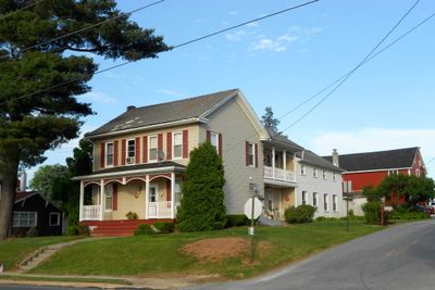
Yorkana, borough of Pennsylvania
Location: York County
Inception: 1800
GPS coordinates: 39.97440,-76.58500
Latest update: May 29, 2025 14:22
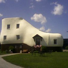
Haines Shoe House
5.2 km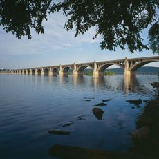
Columbia–Wrightsville Bridge
8.4 km
Chickies Ridge
10 km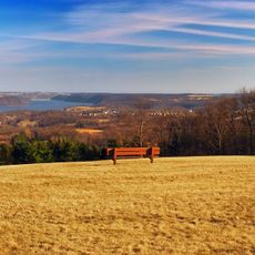
Samuel S. Lewis State Park
3.9 km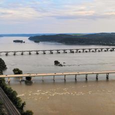
Wright's Ferry Bridge
8.7 km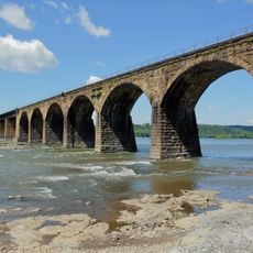
Shocks Mills Bridge
10.7 km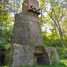
Codorus Forge and Furnace Historic District
10.6 km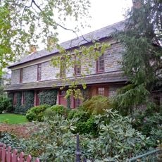
Wright's Ferry Mansion
9.3 km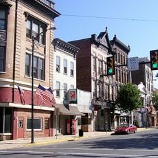
Columbia Historic District
9.6 km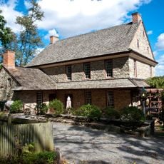
Dritt Mansion
7.5 km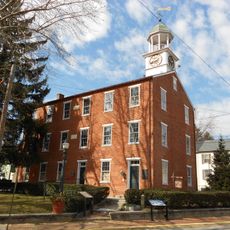
Marietta Historic District (Marietta, Pennsylvania)
9.4 km
Chickies Historic District
9.5 km
Strickler Family Farmhouse
6.5 km
East York Historic District
8.8 km
Codorus Navigation
10.6 km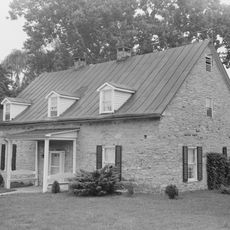
Martin Schultz House
3.6 km
Byrd Leibhart Site
7.4 km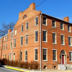
Linden House
10.2 km
Strickler Site
10.6 km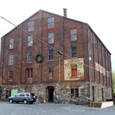
Bachman and Forry Tobacco Warehouse
9.3 km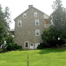
Burgholtshouse
6 km
Frey-Haverstick Site
10 km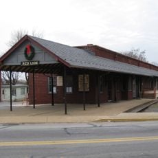
Red Lion Borough Historic District
8.7 km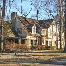
Chestnut Hill
4.8 km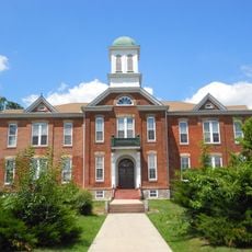
Manor Street Elementary School
10 km
Wrightsville Historic District
7.3 km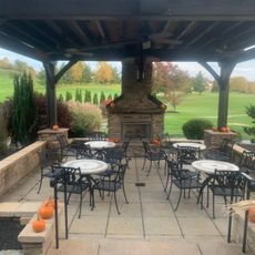
Heritage Hills Golf Course
7.9 km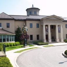
National Watch and Clock Museum
9.9 kmReviews
Visited this place? Tap the stars to rate it and share your experience / photos with the community! Try now! You can cancel it anytime.
Discover hidden gems everywhere you go!
From secret cafés to breathtaking viewpoints, skip the crowded tourist spots and find places that match your style. Our app makes it easy with voice search, smart filtering, route optimization, and insider tips from travelers worldwide. Download now for the complete mobile experience.

A unique approach to discovering new places❞
— Le Figaro
All the places worth exploring❞
— France Info
A tailor-made excursion in just a few clicks❞
— 20 Minutes