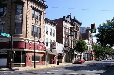
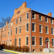
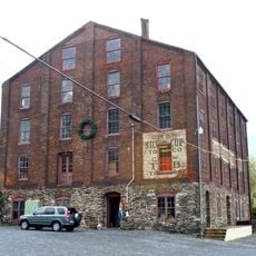
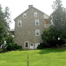
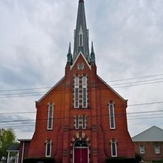
Columbia Historic District, Historic district in Columbia, Pennsylvania
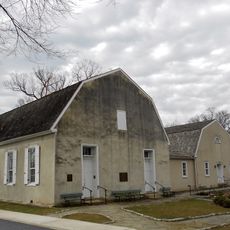
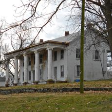
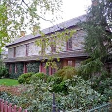
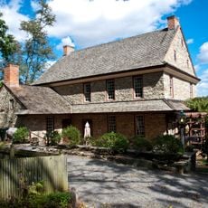
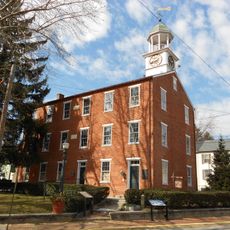
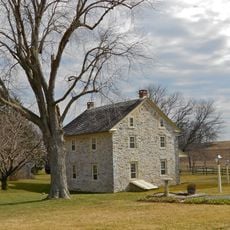
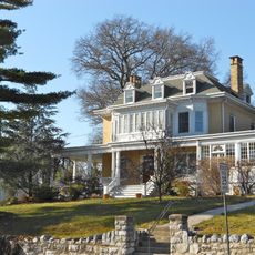
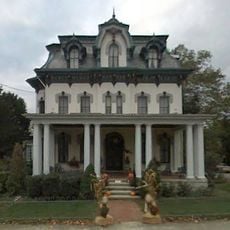
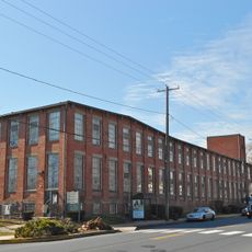
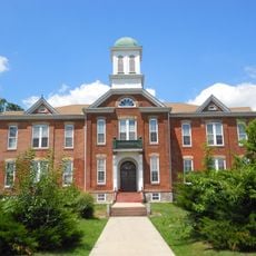
Columbia Historic District is a preserved area that holds buildings from the 18th and 19th centuries, showing how construction methods and styles changed over time in Pennsylvania. The structures stand side by side in different styles, allowing visitors to see the craftsmanship and building approaches of different eras.
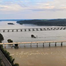
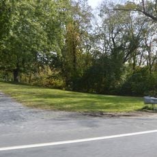
The area was established when early settlers arrived and built a community based on river trade and local crafts. The preserved buildings show how the region evolved over two centuries as economic needs and construction practices changed.
The district shows traces of how people from different backgrounds settled and built their lives here over centuries. The way buildings line the streets reflects the everyday patterns of commerce and family life that shaped the community.
The best way to explore the district is a slow walk through the streets to look at each building from different angles. Information about specific structures is available from the local preservation office, which also offers guided tours.
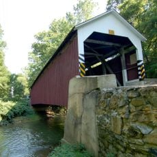
Many visitors overlook how the masonry and roofing techniques on the buildings reflect the regional building tradition that developed here. These craft details were not chosen by chance but matched what was available and proven to work in this area.
The community of curious travelers
AroundUs brings together thousands of curated places, local tips, and hidden gems, enriched daily by 60,000 contributors worldwide.