Enable Location

We need your location to show you interesting places around you

Discover nearby places

Find interesting locations and hidden gems around you

Precise directions

Get accurate directions and distances to places

Your location is never shared with other users. It's only used when you tap the location button.

Marietta Historic District

Log in to your account

Start exploring — it's free

Trusted by 62,397 travelers worldwide

Continue with Google
Continue with Apple
or

We will send you a code to connect

By continuing, you accept our Terms and Conditions and our Privacy Policy

Check your inbox

We've sent a pincode in your inbox. Please enter the code below.

Marietta Historic District

Marietta Historic District, in the borough of Marietta, Lancaster County, Pennsylvania

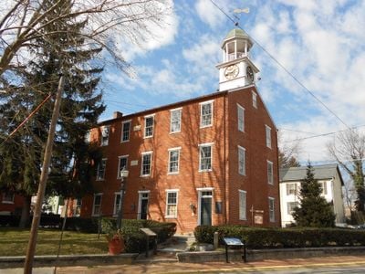
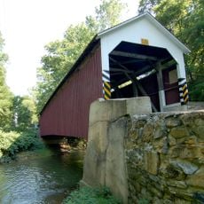
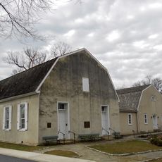
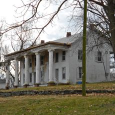
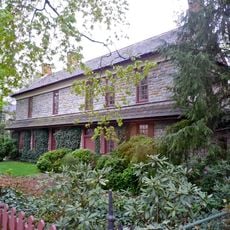
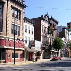
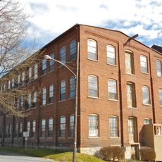
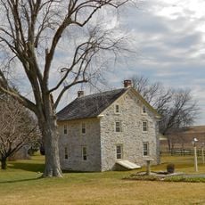
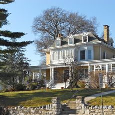
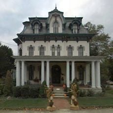
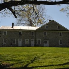
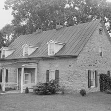
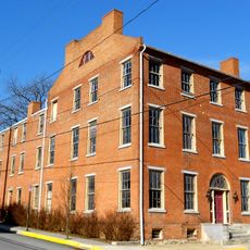
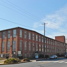
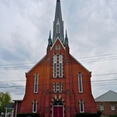
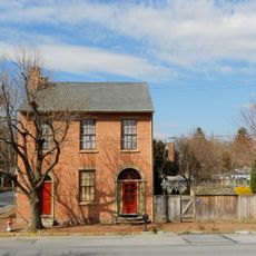
The Marietta Historic District is a neighborhood in Pennsylvania containing about 373 standing buildings that display Renaissance Revival and Federal architectural styles. The homes, shops, and public buildings sit close together along streets with brick and stone facades decorated with arches, tall windows with rounded tops, and carved cornices.

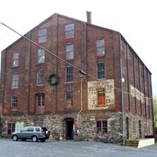
The district began as a busy trading and residential hub during the town's early growth. Most buildings date from the 1700s and 1800s, and the area was added to the National Register of Historic Places in the late 1900s to preserve its historical value.

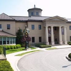
The district's name reflects the pride of the local community that built and maintained these streets over generations. Today residents and visitors walk the same routes for shopping and gatherings, keeping the neighborhood an active part of town life rather than a museum piece.

Visitors should plan to walk slowly through the streets to notice stonework, ironwork, and architectural details on the building facades. Local signs and guides at several locations offer information about individual buildings and the district's history if you want to learn more during your visit.

Many buildings feature carved stone faces and decorative ironwork on balconies that reveal how much care craftspeople put into their work long ago. These small ornamental touches are often overlooked by visitors but transform a simple walk through the district into an exploration of forgotten details.

The community of curious travelers

AroundUs brings together thousands of curated places, local tips, and hidden gems, enriched daily by 60,000 contributors worldwide.

Start exploring
Architectural style
Renaissance Revival architecture
GPS coordinates
40.05611,-76.55778
Latest update
February 9, 2026 07:41
Around this place
Columbia–Wrightsville Bridge
United States of America

Columbia–Wrightsville Bridge

4.6 km
United States of America

Chickies Ridge

2.8 km
Samuel S. Lewis State Park
United States of America

Samuel S. Lewis State Park

6.7 km
Cameron Estate
United States of America

Cameron Estate

5.3 km
Wright's Ferry Bridge
United States of America

Wright's Ferry Bridge

3.7 km
United States of America

Shocks Mills Bridge

6.8 km
Siegrist's Mill Covered Bridge
United States of America

Siegrist's Mill Covered Bridge

7.7 km
Donegal Presbyterian Church Complex
United States of America

Donegal Presbyterian Church Complex

5.1 km
Donegal Mills Plantation
United States of America

Donegal Mills Plantation

3.5 km
Codorus Forge and Furnace Historic District
United States of America

Codorus Forge and Furnace Historic District

8.5 km
Wright's Ferry Mansion
United States of America

Wright's Ferry Mansion

5.5 km
Forry's Mill Covered Bridge
United States of America

Forry's Mill Covered Bridge

6.9 km
Columbia Historic District
United States of America

Columbia Historic District

5.3 km
Ashley and Bailey Silk Mill
United States of America

Ashley and Bailey Silk Mill

941 m
Byers-Muma House
United States of America

Byers-Muma House

3.5 km
Chickies Historic District
United States of America

Chickies Historic District

155 m
Grove Mansion
United States of America

Grove Mansion

2.6 km
Columbia Wagon Works
United States of America

Columbia Wagon Works

6.6 km
Codorus Navigation
United States of America

Codorus Navigation

7.4 km
Locust Grove
United States of America

Locust Grove

9.1 km
Martin Schultz House
United States of America

Martin Schultz House

7.6 km
United States of America

Nissly Swiss Chocolate Company

6.9 km
Linden House
United States of America

Linden House

1.4 km
Bachman and Forry Tobacco Warehouse
United States of America

Bachman and Forry Tobacco Warehouse

5.5 km
George Brown's Sons Cotton and Woolen Mill
United States of America

George Brown's Sons Cotton and Woolen Mill

7.9 km
Wrightsville Historic District
United States of America

Wrightsville Historic District

4.4 km
National Watch and Clock Museum
United States of America

National Watch and Clock Museum

5.2 km
Joseph Bucher House
United States of America

Joseph Bucher House

277 m
Show the full map
« Marietta Historic District - in the borough of Marietta, Lancaster County, Pennsylvania » is provided by Around Us (aroundus.com). Images and texts are derived from Wikimedia project under a Creative Commons license. You are allowed to copy, distribute, and modify copies of this page, under the conditions set by the license, as long as this note is clearly visible.

Discover hidden gems everywhere you go!

From secret cafés to breathtaking viewpoints, skip the crowded tourist spots and find places that match your style. Our app makes it easy with voice search, smart filtering, route optimization, and insider tips from travelers worldwide. Download now for the complete mobile experience.

Around Us App Screenshot

A unique approach to discovering new places

Le Figaro

All the places worth exploring

France Info

A tailor-made excursion in just a few clicks

20 Minutes

Around Us
Travel Guide & Maps
Download

Send to your phone

QR Code
1

Open the camera app on your mobile.

2

Point at the QR code with your camera. A notification will appear.

3

Tap the notification to open the link.