Chest opened
+${chestReward.xp} XP
Explorer
NOUVEAU ×${chestReward.collectible.quantity}
tapez pour fermer
Chest locked

Open chests in the app

Around Us is built for your phone — chests unlock when you walk, explore and capture nearby places.

Enable Location

We need your location to show you interesting places around you

Discover nearby places

Find interesting locations and hidden gems around you

Precise directions

Get accurate directions and distances to places

Your location is never shared with other users. It's only used when you tap the location button.

Windber

Log in to your account

Start exploring — it's free

Trusted by 72,887 travelers worldwide

Continue with Google
Continue with Apple
or

We will send you a code to connect

By continuing, you accept our Terms and Conditions and our Privacy Policy

Check your inbox

We've sent a pincode in your inbox. Please enter the code below.

Discussion Reviews 1 Photos
16.6k Popularity

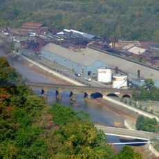
Windber, Coal mining borough in Somerset County, Pennsylvania, US

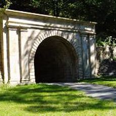
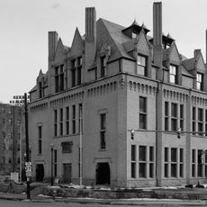
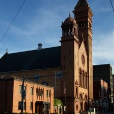
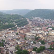
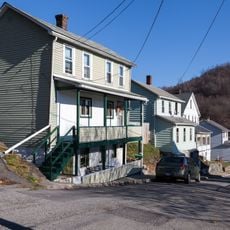
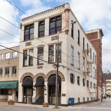
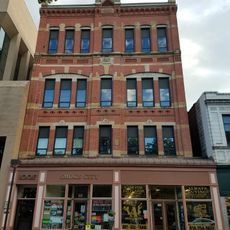
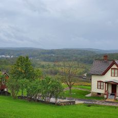
Windber is a borough in Somerset County, Pennsylvania, located south of Johnstown and founded through coal mining operations. The town centers around its historic district with buildings remaining from that mining era.

The town was founded in 1897 by coal barons Charles and Edward Julius Berwind as a company town for their mining business. The decline of coal mining later transformed how the community developed and changed.

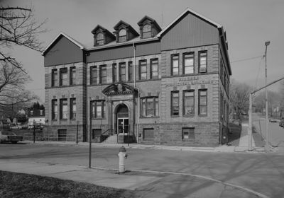
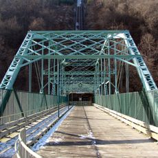
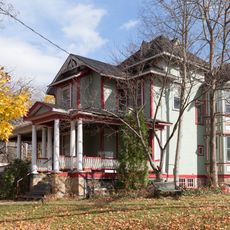
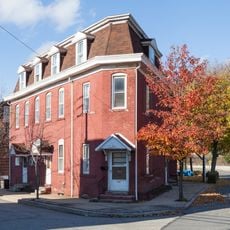
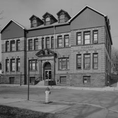
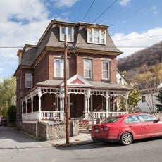
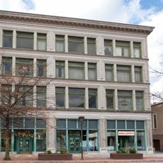
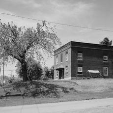
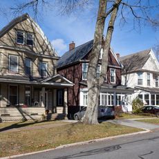
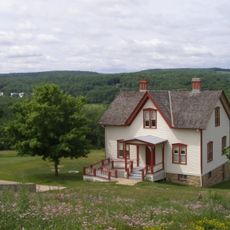
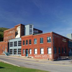
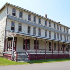
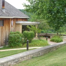
The Windber Historic District displays architecture and buildings from the coal mining era that shaped daily life in the town. These structures still define how the place looks and feels when you walk through it today.

The town center is easy to walk through and the historic buildings are visible and accessible from the streets. Visiting during warmer months or on weekends gives you the best opportunity to explore at a comfortable pace.

The Silver Drive-In Theater opened in 1962 and remains one of the few active drive-in cinemas still operating in the wider region. It survived being closed for years before reopening, showing how a local landmark can adapt and endure.

The community of curious travelers

AroundUs brings together thousands of curated places, local tips, and hidden gems, enriched daily by 60,000 contributors worldwide.

Start exploring
GPS coordinates
40.23980,-78.83502
Latest update
December 7, 2025 19:26
Around this place
Johnstown Inclined Plane
United States of America

Johnstown Inclined Plane

12.4 km
Johnstown Flood National Memorial
United States of America

Johnstown Flood National Memorial

12.7 km
Cambria Iron Company
United States of America

Cambria Iron Company

13.1 km
Stone Bridge
United States of America

Stone Bridge

12.8 km
Staple Bend Tunnel
United States of America

Staple Bend Tunnel

13.4 km
Johnstown Flood Museum
United States of America

Johnstown Flood Museum

12.2 km
Cathedral of Saint John Gualbert
United States of America

Cathedral of Saint John Gualbert

11.7 km
Inclined Plane Bridge
United States of America

Inclined Plane Bridge

12.3 km
Moxham Historic District
United States of America

Moxham Historic District

9 km
John P. Saylor Trail
United States of America

John P. Saylor Trail

7.5 km
Cambria City Historic District
United States of America

Cambria City Historic District

13.8 km
Downtown Johnstown Historic District
United States of America

Downtown Johnstown Historic District

11.8 km
Windber Historic District
United States of America

Windber Historic District

487 m
Old Conemaugh Borough Historic District
United States of America

Old Conemaugh Borough Historic District

11.6 km
Nathan's Department Store
United States of America

Nathan's Department Store

11.9 km
Minersville Historic District
United States of America

Minersville Historic District

13.8 km
Shaffer's Bridge
United States of America

Shaffer's Bridge

11.9 km
Grand Army of the Republic Hall
United States of America

Grand Army of the Republic Hall

11.9 km
Alma Hall
United States of America

Alma Hall

11.9 km
Cairnbrook Historic District
United States of America

Cairnbrook Historic District

13.2 km
Shade Furnace Archaeological District
United States of America

Shade Furnace Archaeological District

9.7 km
Westmont Historic District
United States of America

Westmont Historic District

12.7 km
Johnstown Flood National Memorial
United States of America

Johnstown Flood National Memorial

13.4 km
Unger House
United States of America

Unger House

13.3 km
Heritage Discovery Center
United States of America

Heritage Discovery Center

13.8 km
South Fork Fishing and Hunting Club Clubhouse
United States of America

South Fork Fishing and Hunting Club Clubhouse

12.1 km
Pasquerilla Performing Arts Center
United States of America

Pasquerilla Performing Arts Center

3.2 km
Lake View Visitor Center
United States of America

Lake View Visitor Center

13.4 km
Show the full map
Reviews
Share your experience

No review yet

Discussions
Start a discussion...

No discussion yet

« Windber - Coal mining borough in Somerset County, Pennsylvania, US » is provided by Around Us (aroundus.com). Images and texts are derived from Wikimedia project under a Creative Commons license. You are allowed to copy, distribute, and modify copies of this page, under the conditions set by the license, as long as this note is clearly visible.

Discover hidden gems everywhere you go!

From secret cafés to breathtaking viewpoints, skip the crowded tourist spots and find places that match your style. Our app makes it easy with voice search, smart filtering, route optimization, and insider tips from travelers worldwide. Download now for the complete mobile experience.

Around Us App Screenshot

A unique approach to discovering new places

Le Figaro

All the places worth exploring

France Info

A tailor-made excursion in just a few clicks

20 Minutes

Around Us
Travel Guide & Maps
Download

Send to your phone

QR Code
1

Open the camera app on your mobile.

2

Point at the QR code with your camera. A notification will appear.

3

Tap the notification to open the link.