Enable Location

We need your location to show you interesting places around you

Discover nearby places

Find interesting locations and hidden gems around you

Precise directions

Get accurate directions and distances to places

Your location is never shared with other users. It's only used when you tap the location button.

Farmville

Log in to your account

Start exploring — it's free

Trusted by 63,117 travelers worldwide

Continue with Google
Continue with Apple
or

We will send you a code to connect

By continuing, you accept our Terms and Conditions and our Privacy Policy

Check your inbox

We've sent a pincode in your inbox. Please enter the code below.

Discussion Reviews 3 Photos
55.5k Popularity

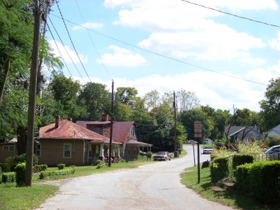
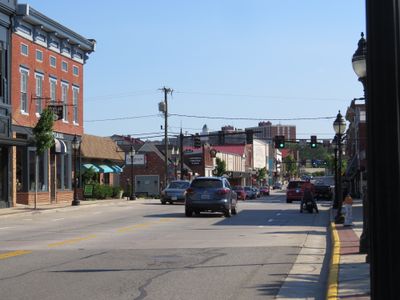
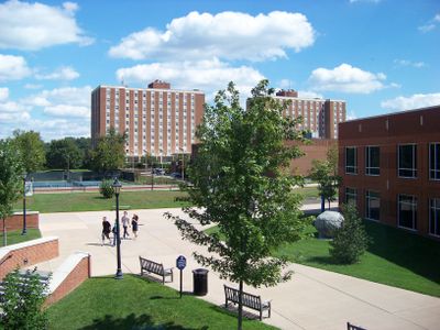
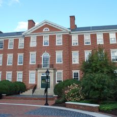
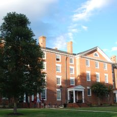
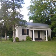
Farmville, County seat and administrative center in Prince Edward County, Virginia.

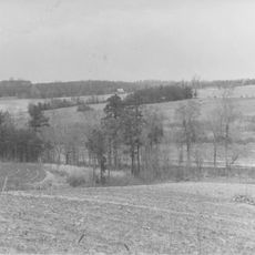
Farmville is a county seat in Prince Edward County and Cumberland County in the state of Virginia, extending along the headwaters of the Appomattox River. The town sits at an elevation of 107 meters and connects both administrative districts through its geographic position.

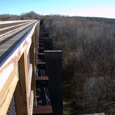
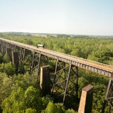
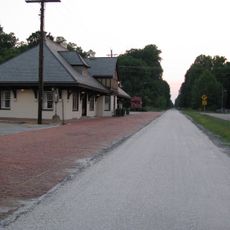
The arrival of the Southside Railroad in the 1850s transformed the settlement into an important transportation hub during the steam locomotive era. During the 1950s, all public schools closed for five years in response to nationwide court decisions.

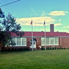
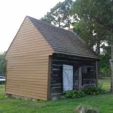
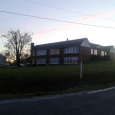
The Robert Russa Moton Museum preserves the memory of the 1951 student strike, when teenagers protested against unequal school conditions. Visitors can walk through the classrooms where the protests began, which later had nationwide impact.

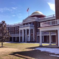
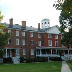
The town is accessible through several highways and rail connections that enable travel to neighboring Virginia regions. The settlement works well as a stopover when driving through the central part of the state.

The local district was the only one nationwide to close its entire public school system in response to federal decisions. This five-year closure affected an entire generation of children and their families.

The community of curious travelers

AroundUs brings together thousands of curated places, local tips, and hidden gems, enriched daily by 60,000 contributors worldwide.

Start exploring
Elevation above the sea
107 m
Industry
coal
GPS coordinates
37.30210,-78.39194
Latest update
December 14, 2025 17:20
Around this place
Hampden–Sydney College
United States of America

Hampden–Sydney College

9 km
High Bridge Trail State Park
United States of America

High Bridge Trail State Park

6.6 km
High Bridge
United States of America

High Bridge

6.6 km
Robert Russa Moton Museum
United States of America

Robert Russa Moton Museum

1.3 km
Sayler's Creek Battlefield
United States of America

Sayler's Creek Battlefield

14.1 km
United States of America

Longwood House

1.6 km
Henry I. Willet, Jr. Hall
United States of America

Henry I. Willet, Jr. Hall

630 m
Ruffner Hall
United States of America

Ruffner Hall

360 m
Venable Hall
United States of America

Venable Hall

9.2 km
Debtors' Prison
United States of America

Debtors' Prison

9.2 km
Cushing Hall
United States of America

Cushing Hall

8.9 km
Farmville Historic District
United States of America

Farmville Historic District

623 m
United States of America

Sandy River Reservoir

9.6 km
Needham
United States of America

Needham

2.3 km
Worsham High School
United States of America

Worsham High School

9.3 km
Old Prince Edward County Clerk's Office
United States of America

Old Prince Edward County Clerk's Office

9.3 km
Robert Russa Moton Boyhood Home
United States of America

Robert Russa Moton Boyhood Home

11.5 km
Longwood Center for the Visual Arts
United States of America

Longwood Center for the Visual Arts

82 m
United States of America

Wilcks Pond

9.4 km
United States of America

Hampden Sydney College Historic District

9 km
United States of America

Crute Stage

115 m
United States of America

Longwood Village 3 Cinemas

2.1 km
United States of America

Grand View Lake

14.7 km
United States of America

Farmville Historic District

110 m
United States of America

Farmville Municipal Golf Course

7.2 km
United States of America

Johns Auditorium

9.2 km
United States of America

Waterworks Theatre

3 km
United States of America

Briary Wildlife Management

12.4 km
Show the full map
Reviews
Share your experience

No review yet

Discussions
Start a discussion...

No discussion yet

« Farmville - County seat and administrative center in Prince Edward County, Virginia » is provided by Around Us (aroundus.com). Images and texts are derived from Wikimedia project under a Creative Commons license. You are allowed to copy, distribute, and modify copies of this page, under the conditions set by the license, as long as this note is clearly visible.

Discover hidden gems everywhere you go!

From secret cafés to breathtaking viewpoints, skip the crowded tourist spots and find places that match your style. Our app makes it easy with voice search, smart filtering, route optimization, and insider tips from travelers worldwide. Download now for the complete mobile experience.

Around Us App Screenshot

A unique approach to discovering new places

Le Figaro

All the places worth exploring

France Info

A tailor-made excursion in just a few clicks

20 Minutes

Around Us
Travel Guide & Maps
Download

Send to your phone

QR Code
1

Open the camera app on your mobile.

2

Point at the QR code with your camera. A notification will appear.

3

Tap the notification to open the link.