Chest opened
+${chestReward.xp} XP
Explorer
NOUVEAU ×${chestReward.collectible.quantity}
tapez pour fermer

See the monuments around you in AR Open chests in the app

Around Us is built for your phone — point your camera at the streets and discover the monuments and places around you in augmented reality. Around Us is built for your phone — chests unlock when you walk, explore and capture nearby places.

Enable Location

We need your location to show you interesting places around you

Discover nearby places

Find interesting locations and hidden gems around you

Precise directions

Get accurate directions and distances to places

Your location is never shared with other users. It's only used when you tap the location button.

Prince Edward County

Log in to your account

Start exploring — it's free

Trusted by 87,132 travelers worldwide

Continue with Google
Continue with Apple
or

We will send you a code to connect

By continuing, you accept our Terms and Conditions and our Privacy Policy

Check your inbox

We've sent a pincode in your inbox. Please enter the code below.

Discussion Reviews 1 Photos
32.1k Popularity

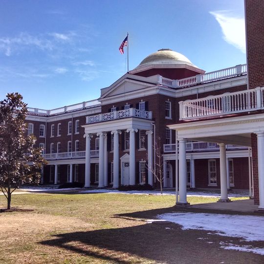
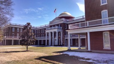
Prince Edward County, Administrative county in central Virginia, United States

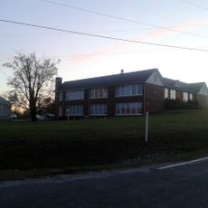
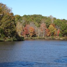
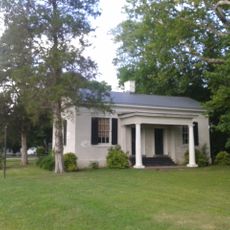
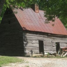
Prince Edward County is an administrative area in central Virginia with rolling farmland, thick forests, and waterways. The Appomattox River flows through the region, shaping much of the natural landscape.

The county was established in 1752 as a new administrative division in central Virginia. It became a focal point for civil rights struggles in the mid-20th century when resistance to school integration changed the course of American education policy.

Educational institutions shape how the community comes together. Farmville serves as a hub where students and residents gather around schools and colleges that define daily life here.

Farmville, the county seat, serves as the main hub for services and everyday activities. Most visitors use this town as a base to explore the wider rural region and its natural areas.

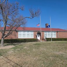
Robert Russa Moton High School, now a National Historic Landmark, was where student protests took place that shaped American education law. The building stands as a testament to youth activism in the fight for equal access to schooling.

The community of curious travelers

AroundUs brings together thousands of curated places, local tips, and hidden gems, enriched daily by 60,000 contributors worldwide.
Start exploring
Location
Inception
February 27, 1752
Capital city
Farmville
Shares border with
Cumberland County, Charlotte County, Buckingham County, Appomattox County, Amelia County, Nottoway County, Lunenburg County
GPS coordinates
37.23816,-78.46189
Latest update
September 12, 2026 03:56
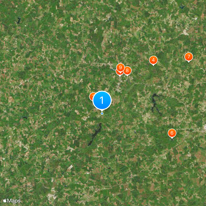
Around this place
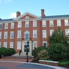
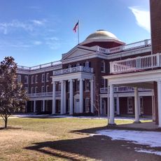
Hampden–Sydney College
United States of America

Hampden–Sydney College

0.3 mi
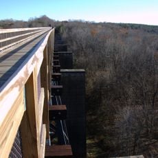
High Bridge Trail State Park
United States of America

High Bridge Trail State Park

5.6 mi
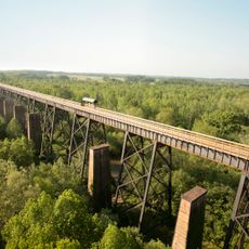
High Bridge
United States of America

High Bridge

9.4 mi
Robert Russa Moton Museum
United States of America

Robert Russa Moton Museum

5.1 mi
Twin Lakes State Park
United States of America

Twin Lakes State Park

11.3 mi
Sayler's Creek Battlefield
United States of America

Sayler's Creek Battlefield

13.7 mi
United States of America

Longwood House

5.8 mi
Henry I. Willet, Jr. Hall
United States of America

Henry I. Willet, Jr. Hall

5.5 mi
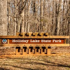
Holliday Lake State Park
United States of America

Holliday Lake State Park

14.8 mi
Ruffner Hall
United States of America

Ruffner Hall

5.7 mi
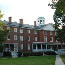
Venable Hall
United States of America

Venable Hall

0.2 mi
Debtors' Prison
United States of America

Debtors' Prison

1.2 mi
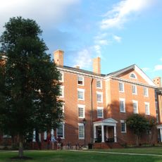
Cushing Hall
United States of America

Cushing Hall

0.4 mi
Farmville Historic District
United States of America

Farmville Historic District

5.5 mi
United States of America

Sandy River Reservoir

8.2 mi
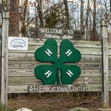
Holliday Lake 4-H Educational Center
United States of America

Holliday Lake 4-H Educational Center

14.4 mi
Needham
United States of America

Needham

7.2 mi
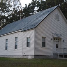
Buffalo Presbyterian Church
United States of America

Buffalo Presbyterian Church

7.7 mi
Worsham High School
United States of America

Worsham High School

1 mi
Goodwin Lake Swim Beach
United States of America

Goodwin Lake Swim Beach

10.9 mi
Old Prince Edward County Clerk's Office
United States of America

Old Prince Edward County Clerk's Office

1.3 mi
Robert Russa Moton Boyhood Home
United States of America

Robert Russa Moton Boyhood Home

12.4 mi
Longwood Center for the Visual Arts
United States of America

Longwood Center for the Visual Arts

5.9 mi
United States of America

Buffalo Lake

7.2 mi
United States of America

Lake Gayle

8.2 mi
United States of America

Roanoke Creek Site 43a Lake

13.1 mi
United States of America

Crute Stage

5.8 mi
United States of America

Longwood Village 3 Cinemas

4.8 mi
Show the full map
Reviews
Share your experience

No review yet

Discussions
Start a discussion...

No discussion yet

« Prince Edward County - Administrative county in central Virginia, United States » is provided by Around Us (aroundus.com). Images and texts are derived from Wikimedia project under a Creative Commons license. You are allowed to copy, distribute, and modify copies of this page, under the conditions set by the license, as long as this note is clearly visible.

Discover hidden gems everywhere you go!

From secret cafés to breathtaking viewpoints, skip the crowded tourist spots and find places that match your style. Our app makes it easy with voice search, smart filtering, route optimization, and insider tips from travelers worldwide. Download now for the complete mobile experience.

Around Us App Screenshot

A unique approach to discovering new places

Le Figaro

All the places worth exploring

France Info

A tailor-made excursion in just a few clicks

20 Minutes

Around Us
Travel Guide & Maps
Download

Send to your phone

QR Code
1

Open the camera app on your mobile.

2

Point at the QR code with your camera. A notification will appear.

3

Tap the notification to open the link.