High Bridge Trail State Park, Rail trail and state park in Greater Richmond Region, United States.
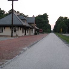
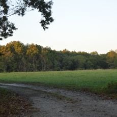
High Bridge Trail State Park is a former railway corridor now serving as a walking and cycling path through central Virginia. The limestone surface stretches 32 miles (51 kilometers), linking several small towns between Farmville and Burkeville.
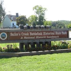
The railway line opened in the 1850s and served as a key connection during the Civil War. After rail service ended, the tracks were removed and the corridor converted into a public trail.
The name comes from the former Norfolk Southern Railway line, whose tracks now serve as a pathway. Along the route, mileposts and whistle posts still stand as reminders of the trains that once passed through.
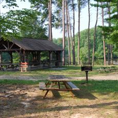
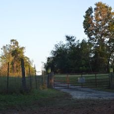
Parking areas are available at several access points along the route, including Camp Paradise Road and River Road. The flat surface suits cyclists, walkers, and horse riders equally well.
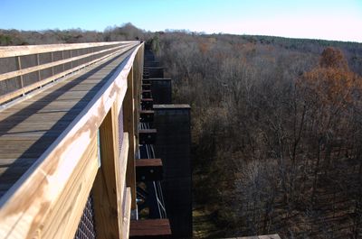
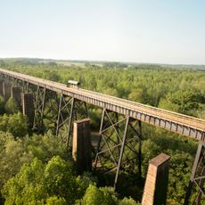
The main structure is a 2,400-foot (732-meter) bridge rising 125 feet (38 meters) above the Appomattox River. It ranks as the longest pedestrian bridge in Virginia and one of the highest points along the entire route.
The community of curious travelers
AroundUs brings together thousands of curated places, local tips, and hidden gems, enriched daily by 60,000 contributors worldwide.