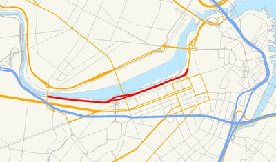
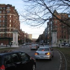
Storrow Drive, Parkway along Charles River in Boston, United States.
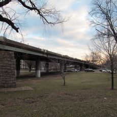
Storrow Drive is a four-lane parkway that runs east to west along the southern bank of the Charles River, connecting multiple neighborhoods of Boston. The roadway features an unusual height restriction of about 10 feet to preserve sightlines from adjacent residential areas to the river.
Construction of this parkway began in the early 1950s and created the first continuous riverside route connecting Boston's eastern and western neighborhoods. The project faced opposition from those who wanted to preserve the natural character of the riverbank.
Local residents have created a specific term for vehicle collisions with the low-clearance bridges that span across this parkway. These incidents are so common that they have become part of everyday conversation and a defining feature of how people experience this road.
The roadway undergoes regular maintenance during nighttime hours, so expect occasional closures. Use caution if driving vehicles with tall cargo or equipment, as the low-clearance bridges make passage impossible for oversized loads.
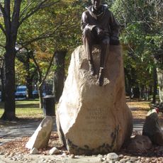
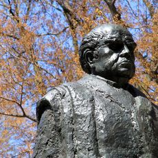
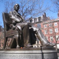
Though named after James J. Storrow, his widow Helen actively opposed the construction of this parkway. This contradiction reveals that even family members disagreed about transforming the riverbank.
The community of curious travelers
AroundUs brings together thousands of curated places, local tips, and hidden gems, enriched daily by 60,000 contributors worldwide.