Chest opened
+${chestReward.xp} XP
Explorer
NOUVEAU ×${chestReward.collectible.quantity}
tapez pour fermer

See the monuments around you in AR Open chests in the app

Around Us is built for your phone — point your camera at the streets and discover the monuments and places around you in augmented reality. Around Us is built for your phone — chests unlock when you walk, explore and capture nearby places.

Enable Location

We need your location to show you interesting places around you

Discover nearby places

Find interesting locations and hidden gems around you

Precise directions

Get accurate directions and distances to places

Your location is never shared with other users. It's only used when you tap the location button.

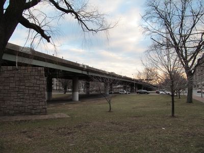
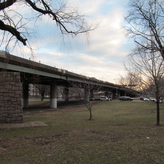
Bowker Overpass

Log in to your account

Start exploring — it's free

Trusted by 85,435 travelers worldwide

Continue with Google
Continue with Apple
or

We will send you a code to connect

By continuing, you accept our Terms and Conditions and our Privacy Policy

Check your inbox

We've sent a pincode in your inbox. Please enter the code below.

Discussion Reviews 1 Photos
2.4k Popularity

Bowker Overpass, Steel road bridge in Boston, Massachusetts, United States

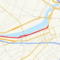
Bowker Overpass is a steel bridge in Boston that spans across Interstate 90 and connects Boylston Street with Storrow Drive. The structure runs parallel to the Muddy River and forms a key traffic junction between Back Bay and the eastern streets of the city.

This structure was completed in 1965 by the Massachusetts Department of Transportation to improve traffic flow between major urban areas. Its construction was part of Boston's post-war expansion of transportation infrastructure.

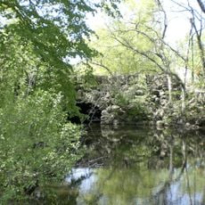
The bridge crosses over the Muddy River and shapes how people experience the boundary between the park system and the city. Those on foot or bicycle notice it as a defining feature when moving through this area.

The overpass is designed for drivers between Back Bay and Downtown, offering direct access to Interstate 90 and eastern roadways. Those exploring this area on foot or by bicycle should expect heavy traffic and stick to designated paths.

Major rehabilitation projects will fundamentally reshape the structure and reconfigure the eastbound section of Storrow Drive. These planned works show how this critical traffic route continues to adapt to modern needs.

The community of curious travelers

AroundUs brings together thousands of curated places, local tips, and hidden gems, enriched daily by 60,000 contributors worldwide.
Start exploring
Location
Inception
1965
Official opening
1965
Made from material
steel
GPS coordinates
42.34930,-71.09230
Latest update
August 30, 2026 15:35
Around this place
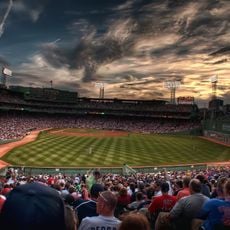
Fenway Park
United States of America

Fenway Park

0.3 mi
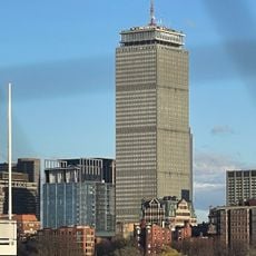
Prudential Tower
United States of America

Prudential Tower

0.5 mi
United States of America

MGM Music Hall at Fenway

0.3 mi
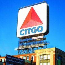
Boston Citgo sign
United States of America

Boston Citgo sign

0.2 mi
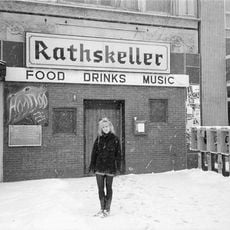
The Rathskeller
United States of America

The Rathskeller

0.2 mi
Storrow Drive
United States of America

Storrow Drive

0.3 mi
Mapparium
United States of America

Mapparium

0.4 mi
Back Bay Fens
United States of America

Back Bay Fens

0.5 mi
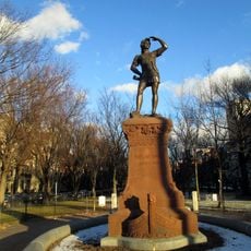
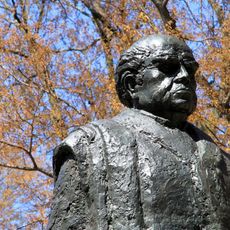
Statue of Leif Erikson
United States of America

Statue of Leif Erikson

270 ft
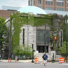
Mary Baker Eddy Library
United States of America

Mary Baker Eddy Library

0.4 mi
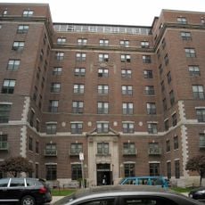
Shelton Hall
United States of America

Shelton Hall

0.2 mi
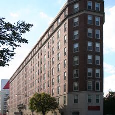
Myles Standish Hall
United States of America

Myles Standish Hall

1 mi
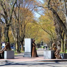
Boston Women's Memorial
United States of America

Boston Women's Memorial

0.5 mi
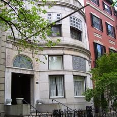
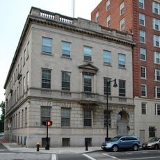
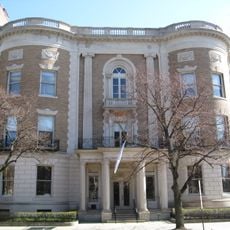
Frederick Ayer Mansion
United States of America

Frederick Ayer Mansion

0.1 mi
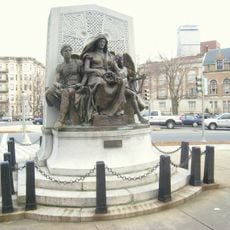
John Boyle O'Reilly Memorial
United States of America

John Boyle O'Reilly Memorial

0.2 mi
Morse Auditorium
United States of America

Morse Auditorium

0.4 mi
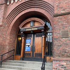
Fenway Studios
United States of America

Fenway Studios

0.2 mi
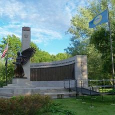
World War II Memorial
United States of America

World War II Memorial

0.5 mi
Statue of Domingo Faustino Sarmiento
United States of America

Statue of Domingo Faustino Sarmiento

0.4 mi
Metcalf Center for Science and Engineering
United States of America

Metcalf Center for Science and Engineering

0.4 mi
United States of America

James J. and Helen Storrow Memorial

0.4 mi
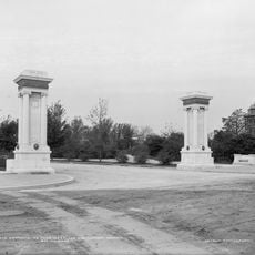
Westland Gate
United States of America

Westland Gate

0.4 mi
New Riding Club
United States of America

New Riding Club

0.3 mi
Myles Annex
United States of America

Myles Annex

0.1 mi
Fenway-Boylston Street District
United States of America

Fenway-Boylston Street District

0.3 mi
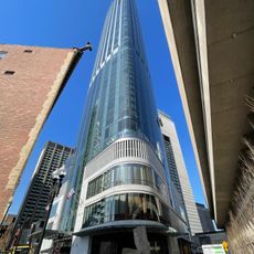
Four Seasons Hotel & Private Residences, One Dalton Street
United States of America

Four Seasons Hotel & Private Residences, One Dalton Street

0.5 mi
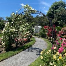
James P. Kelleher Rose Garden
United States of America

James P. Kelleher Rose Garden

0.5 mi
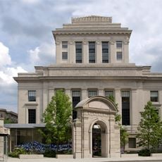
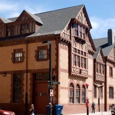
Massachusetts Historical Society Building
United States of America

Massachusetts Historical Society Building

0.2 mi
Show the full map
Reviews
Share your experience

No review yet

Discussions
Start a discussion...

No discussion yet

« Bowker Overpass - Steel road bridge in Boston, Massachusetts, United States » is provided by Around Us (aroundus.com). Images and texts are derived from Wikimedia project under a Creative Commons license. You are allowed to copy, distribute, and modify copies of this page, under the conditions set by the license, as long as this note is clearly visible.

Discover hidden gems everywhere you go!

From secret cafés to breathtaking viewpoints, skip the crowded tourist spots and find places that match your style. Our app makes it easy with voice search, smart filtering, route optimization, and insider tips from travelers worldwide. Download now for the complete mobile experience.
Around Us App Screenshot

A unique approach to discovering new places

Le Figaro

All the places worth exploring

France Info

A tailor-made excursion in just a few clicks

20 Minutes

Around Us
Travel Guide & Maps
Download

Send to your phone

QR Code
1

Open the camera app on your mobile.

2

Point at the QR code with your camera. A notification will appear.

3

Tap the notification to open the link.