Chest opened
+${chestReward.xp} XP
Explorer
NOUVEAU ×${chestReward.collectible.quantity}
tapez pour fermer
Chest locked

Open chests in the app

Around Us is built for your phone — chests unlock when you walk, explore and capture nearby places.

Enable Location

We need your location to show you interesting places around you

Discover nearby places

Find interesting locations and hidden gems around you

Precise directions

Get accurate directions and distances to places

Your location is never shared with other users. It's only used when you tap the location button.

Floyd

Log in to your account

Start exploring — it's free

Trusted by 72,887 travelers worldwide

Continue with Google
Continue with Apple
or

We will send you a code to connect

By continuing, you accept our Terms and Conditions and our Privacy Policy

Check your inbox

We've sent a pincode in your inbox. Please enter the code below.

Discussion Reviews 1 Photos
20.5k Popularity

Floyd, Administrative division in Northwest Georgia, United States.

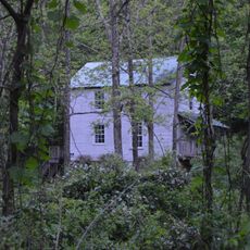
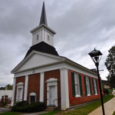
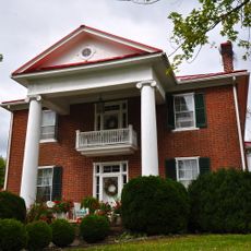
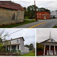
Floyd is a county in Northwest Georgia that spans across a large area and includes multiple communities and educational institutions. The region offers a mix of urban and rural areas with various economic and cultural centers.

The county was established in 1832 and named after a United States Congressman. Its creation from neighboring territory shaped the region's early development.

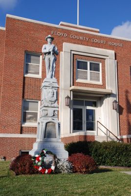
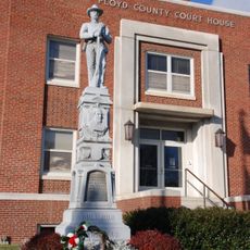
The Administration Building features Renaissance Revival architecture and serves as a gathering place where the community comes together. Public spaces here reflect local identity and host civic activities that bring residents together.

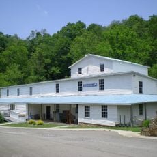
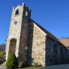
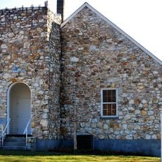
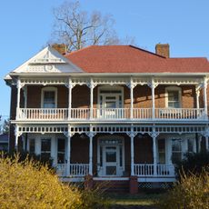
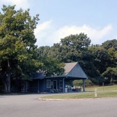
The region is well structured with administrative centers and public facilities that are easy to access for visitors. It helps to explore the different areas to understand the variety of the region.

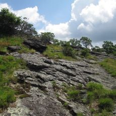
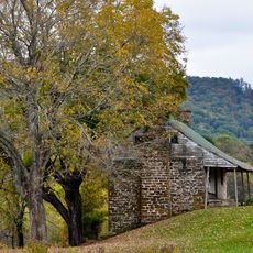
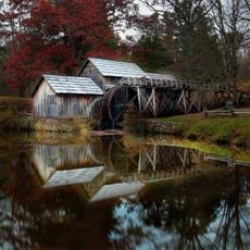
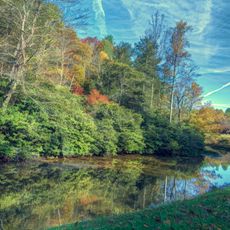
The region is crossed by three different river watersheds, which makes the landscape quite varied. These waterways have shaped settlement and livelihood patterns for a long time.

The community of curious travelers

AroundUs brings together thousands of curated places, local tips, and hidden gems, enriched daily by 60,000 contributors worldwide.

Start exploring
Location
Elevation above the sea
760 m
GPS coordinates
36.91220,-80.31830
Latest update
March 6, 2026 09:32
Around this place
Buffalo Mountain Natural Area Preserve
United States of America

Buffalo Mountain Natural Area Preserve

19.2 km
Bob White Covered Bridge
United States of America

Bob White Covered Bridge

16.1 km
Jack's Creek Covered Bridge
United States of America

Jack's Creek Covered Bridge

16.9 km
Bugbook Historical Computer Museum
United States of America

Bugbook Historical Computer Museum

238 m
Cockram Mill
United States of America

Cockram Mill

20.3 km
Slate Mountain Presbyterian Church and Cemetery
United States of America

Slate Mountain Presbyterian Church and Cemetery

16.3 km
Willis Presbyterian Church and Cemetery
United States of America

Willis Presbyterian Church and Cemetery

15.9 km
Oakdale
United States of America

Oakdale

17 km
Goblintown Mill
United States of America

Goblintown Mill

19.3 km
Floyd Presbyterian Church
United States of America

Floyd Presbyterian Church

122 m
Glenanna
United States of America

Glenanna

229 m
Riner Historic District
United States of America

Riner Historic District

20.2 km
Howard-Bell-Feather House
United States of America

Howard-Bell-Feather House

19 km
Phlegar Farm
United States of America

Phlegar Farm

1.9 km
Guerrant House
United States of America

Guerrant House

16.2 km
West Fork Furnace
United States of America

West Fork Furnace

10.1 km
Floyd Historic District
United States of America

Floyd Historic District

103 m
Crockett Springs Cottage
United States of America

Crockett Springs Cottage

21 km
Frank Lawrence House
United States of America

Frank Lawrence House

15.6 km
Mabry Mill
United States of America

Mabry Mill

19.6 km
United States of America

Mabry Mill Cultural Site

19.7 km
Rocky Knob Visitor Center
United States of America

Rocky Knob Visitor Center

9.3 km
Rakes Mill Pond
United States of America

Rakes Mill Pond

5.9 km
United States of America

One Clear View

755 m
United States of America

Jack's Creek Covered Bridge

16.9 km
United States of America

The Saddle Overlook

10.1 km
United States of America

Fred Clifton Park Overlook - Lover's Leap

21.4 km
United States of America

Rock Castle Gorge

11.4 km
Show the full map
Reviews
Share your experience

No review yet

Discussions
Start a discussion...

No discussion yet

« Floyd - Administrative division in Northwest Georgia, United States » is provided by Around Us (aroundus.com). Images and texts are derived from Wikimedia project under a Creative Commons license. You are allowed to copy, distribute, and modify copies of this page, under the conditions set by the license, as long as this note is clearly visible.

Discover hidden gems everywhere you go!

From secret cafés to breathtaking viewpoints, skip the crowded tourist spots and find places that match your style. Our app makes it easy with voice search, smart filtering, route optimization, and insider tips from travelers worldwide. Download now for the complete mobile experience.

Around Us App Screenshot

A unique approach to discovering new places

Le Figaro

All the places worth exploring

France Info

A tailor-made excursion in just a few clicks

20 Minutes

Around Us
Travel Guide & Maps
Download

Send to your phone

QR Code
1

Open the camera app on your mobile.

2

Point at the QR code with your camera. A notification will appear.

3

Tap the notification to open the link.