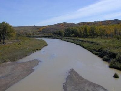
Grand River, River system in South Dakota and North Dakota, United States.
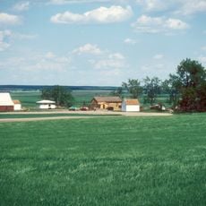
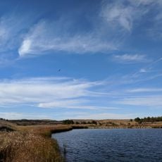
The Grand River spans approximately 209 miles across South Dakota and North Dakota, connecting the North and South forks in Perkins County to the Missouri River near Mobridge. The Shadehill Reservoir, formed by a dam completed in 1950, creates a water body offering multiple spots for recreation and fishing access along its banks.
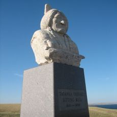
The region experienced military conflict in 1823 when Colonel Henry Leavenworth led operations against tribes in the area. Later, the waterway became home to the Lakota under Sitting Bull, who established settlements along its course with his followers.
Known as Čhaŋšúška Wakpá in Lakota, this river held deep importance for the Lakota people who lived along its banks. The waterway remains significant to indigenous communities today as a place connected to their heritage and way of life.
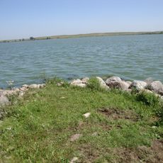
The lower section runs as an extension of Lake Oahe for about 15 miles with water containing high sodium levels that affects nearby farming. Visitors should be aware that water conditions and access points vary with the seasons and weather patterns affecting the area.
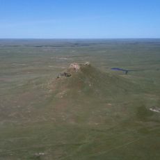
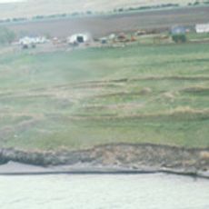
The meeting point of the North and South forks in Perkins County marks where the river officially begins its course. This modest origin point is often overlooked compared to the more developed reservoir sections downstream that draw recreational visitors.
The community of curious travelers
AroundUs brings together thousands of curated places, local tips, and hidden gems, enriched daily by 60,000 contributors worldwide.