
Hopkinton, town in Washington County, Rhode Island, United States
Location: Washington County
Elevation above the sea: 53 m
Shares border with: Voluntown
Website: http://hopkintonri.org
GPS coordinates: 41.46111,-71.77750
Latest update: March 16, 2025 12:24
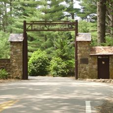
Yawgoog Scout Reservation
6.6 km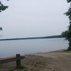
Burlingame State Park
12.7 km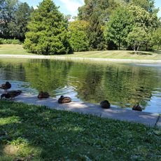
Wilcox Park
10.2 km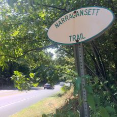
Narragansett Trail
13.9 km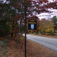
Fort Ninigret
14 km
Tomaquag Rock Shelters
2.5 km
Shannock Historic District
11.5 km
Ell Pond
4.9 km
Westerly Downtown Historic District
10.3 km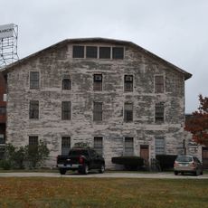
Mechanic Street Historic District
10.8 km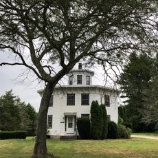
Albert S. Potter Octagon House
9.7 km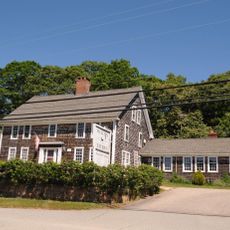
Joseph Stanton House
13.1 km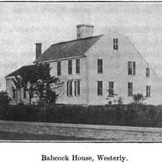
Babcock-Smith House
10.6 km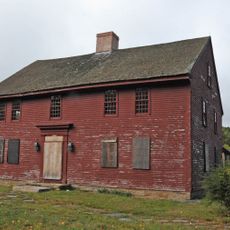
John Randall House
8.5 km
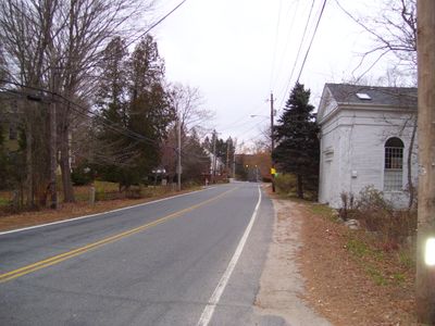
Hopkinton City Historic District
1 m
North Stonington Village Historic District
9.1 km
Westerly Armory
9.8 km
Main Street Historic District
10.7 km
North End Historic District
9.2 km
Joseph Jeffrey House
10 km
Samuel Miner House
9.5 km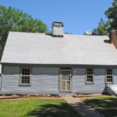
John Hoxsie House
11 km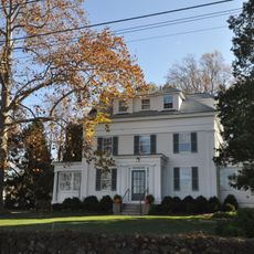
Perry Homestead Historic District
11.2 km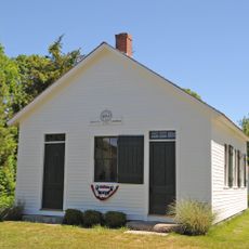
District Schoolhouse No. 2
13.5 km
Hillsdale Historic and Archeological District
13.3 km
Lewis-Card-Perry House
12.2 km
Tomaquag Indian Museum
12.6 km
Hope Valley Historic District
7.3 kmReviews
Visited this place? Tap the stars to rate it and share your experience / photos with the community! Try now! You can cancel it anytime.
Discover hidden gems everywhere you go!
From secret cafés to breathtaking viewpoints, skip the crowded tourist spots and find places that match your style. Our app makes it easy with voice search, smart filtering, route optimization, and insider tips from travelers worldwide. Download now for the complete mobile experience.

A unique approach to discovering new places❞
— Le Figaro
All the places worth exploring❞
— France Info
A tailor-made excursion in just a few clicks❞
— 20 Minutes