Baudette, county seat of Lake of the Woods county, Minnesota, USA
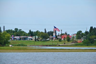
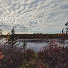
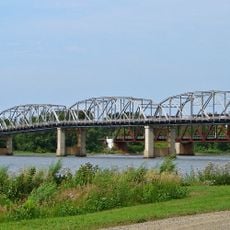
Baudette is a small city on the shore of Lake of the Woods in northern Minnesota, positioned along the border with Canada. The town has a modest center with local shops and homes, largely shaped by water tourism and fishing activities.
The town originated in the early 1900s as a trading post and stopping point for loggers and trappers exploiting the region's natural resources. Over the decades, it evolved into a small port and tourism town, remaining dependent on water access.
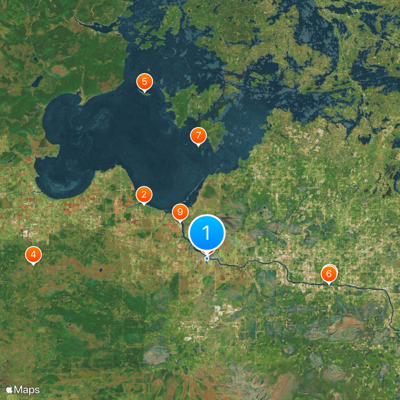
The best time to visit is spring through early autumn when the weather is mild and the lake is ice-free. Parking is available near the waterfront area, and most spots are walkable, though a car helps reach surrounding natural attractions.
The town is known for its harsh winters, with temperatures regularly dropping below minus 4 degrees Fahrenheit (minus 20 degrees Celsius). This extreme seasonal shift shapes how residents live and makes the warmer months precious.
The community of curious travelers
AroundUs brings together thousands of curated places, local tips, and hidden gems, enriched daily by 60,000 contributors worldwide.