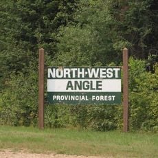
Beltrami Island State Forest, State forest in Lake of the Woods County and Roseau County, Minnesota, US.
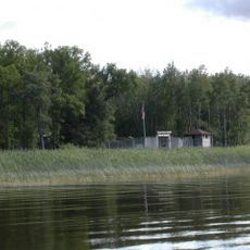
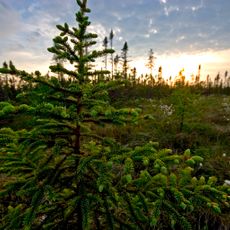
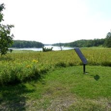
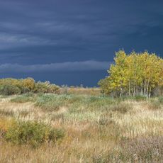
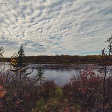
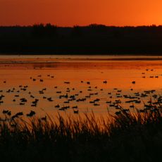
Beltrami Island State Forest is a large protected woodland spanning multiple counties across Minnesota. The terrain consists mostly of coniferous swamp, with black spruce, tamarack, northern white cedar, red pine, and jack pine as the main tree species.
French explorers began exploring the area around 1730 while seeking routes to the Pacific Ocean. Control later passed to the British through the Hudson's Bay Company in the mid-1700s.
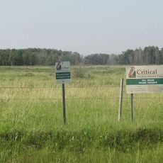
The Red Lake Band of Ojibwe owns and manages significant portions of this forest. Their stewardship shapes how the land is cared for and valued today.
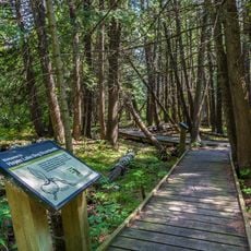
The forest offers hiking trails, riding paths, and routes for all-terrain vehicles as well as winter activities. Check conditions before visiting since the terrain includes wetlands and swampy areas that can be difficult to navigate.
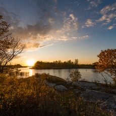
The forest contains the source waters of several rivers that flow northward toward Hudson Bay. This water system is shaped by the Laurentian Divide, a major geographical feature that directs drainage patterns.
The community of curious travelers
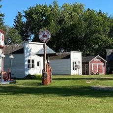
AroundUs brings together thousands of curated places, local tips, and hidden gems, enriched daily by 60,000 contributors worldwide.