Mayagüez barrio-pueblo, historical center and municipality seat of Mayagüez, Puerto Rico
Location: Mayagüez
Elevation above the sea: 4 m
GPS coordinates: 18.20330,-67.14610
Latest update: April 3, 2025 04:56
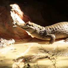
Dr. Juan A. Rivero Zoo
2 km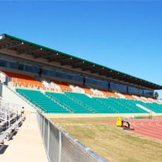
Mayagüez Athletics Stadium
1.7 km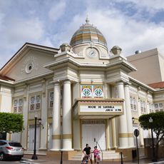
Teatro Yagüez
665 m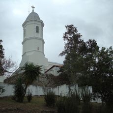
Minor Basilica of the Virgin of Montserrat
7 km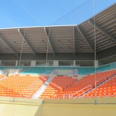
Isidoro García Stadium
1.5 km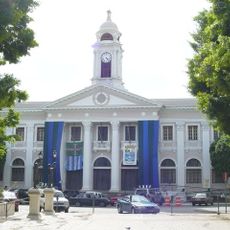
Mayagüez City Hall
717 m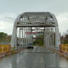
Puente de Añasco
7.9 km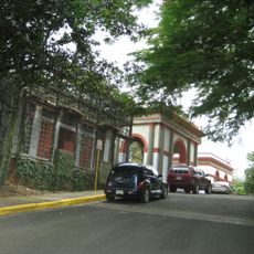
Mayagüez Municipal Cemetery
1.4 km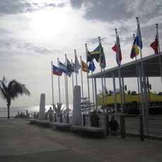
Parque del Litoral
802 m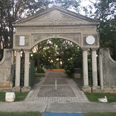
Parque de los Próceres
936 m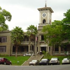
José de Diego Building
811 m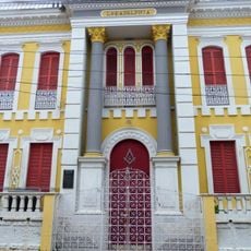
Logia Adelphia
844 m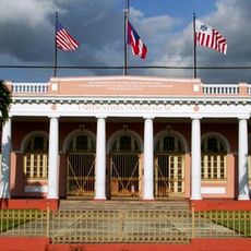
U.S. Custom House (Mayagüez, Puerto Rico)
660 m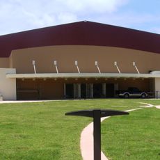
El Mani Pavilion
5.7 km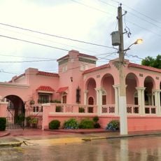
Gómez Residence
290 m
Silva Bridge
7.1 km
Miguel Angel García Méndez Post Office Building
302 m
Playa Azul
8.6 km
Joyuda Beach
10.7 km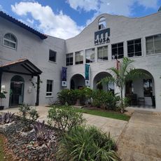
MUSA Art Museum
848 m
Balneario de Añasco
10.2 km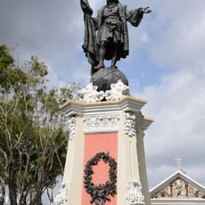
Statue of Christopher Columbus (Mayagüez)
777 m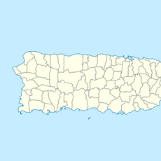
Manchas Grandes
5.1 km
Roca Blanca
4.2 km
Playa Bramadero
5.1 km
Puntas Arenas Beach
6.2 km
Playa La Puente
7.8 km
Playa Sabaneta
4.5 kmVisited this place? Tap the stars to rate it and share your experience / photos with the community! Try now! You can cancel it anytime.
Discover hidden gems everywhere you go!
From secret cafés to breathtaking viewpoints, skip the crowded tourist spots and find places that match your style. Our app makes it easy with voice search, smart filtering, route optimization, and insider tips from travelers worldwide. Download now for the complete mobile experience.

A unique approach to discovering new places❞
— Le Figaro
All the places worth exploring❞
— France Info
A tailor-made excursion in just a few clicks❞
— 20 Minutes