Enable Location

We need your location to show you interesting places around you

Discover nearby places

Find interesting locations and hidden gems around you

Precise directions

Get accurate directions and distances to places

Your location is never shared with other users. It's only used when you tap the location button.

Mayagüez

Log in to your account

Start exploring — it's free

Trusted by 63,215 travelers worldwide

Continue with Google
Continue with Apple
or

We will send you a code to connect

By continuing, you accept our Terms and Conditions and our Privacy Policy

Check your inbox

We've sent a pincode in your inbox. Please enter the code below.

Discussion Reviews 8 Photos
53.5k Popularity

Mayagüez, Municipality on the western coast of Puerto Rico.

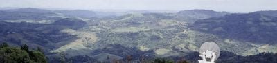
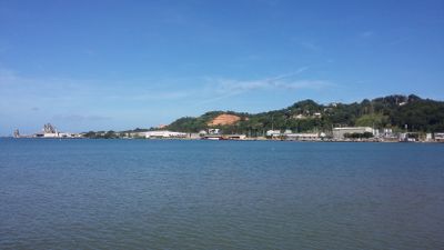
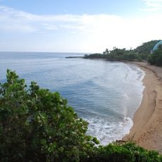
Mayagüez is a city on the western coast of Puerto Rico situated between the Caribbean Sea and mountain ranges. It encompasses several neighborhoods and features a naturally deep harbor that serves the region.

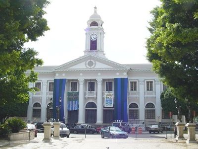
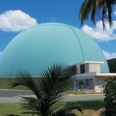
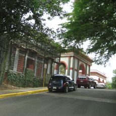
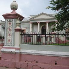
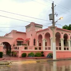
The city was founded in 1760 as Nuestra Señora de la Candelaria de Mayagüez and gained city status in 1877. A major earthquake in 1918 caused significant destruction, but reconstruction followed shortly after.

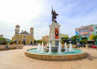
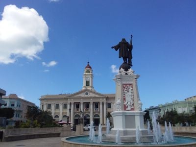
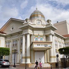
The Plaza Colón displays a statue of Christopher Columbus surrounded by 16 bronze figures depicting scenes from Spanish colonial times. This square serves as a gathering point where locals and visitors experience the city's connection to its past.

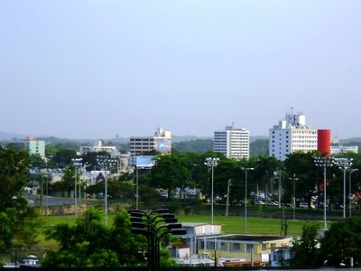
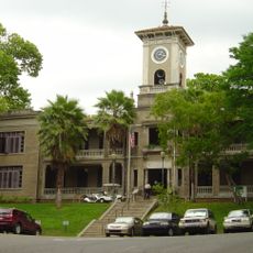
The city connects to San Juan through highways, making travel between these locations straightforward. Several educational facilities are located here, and the area is relatively accessible for visitors.

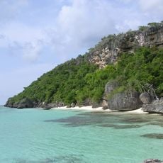
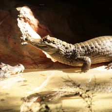
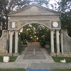
A research station operated by the U.S. Department of Agriculture holds the largest collection of tropical plants in the Western Hemisphere. This collection supports scientific research and attracts visitors interested in tropical plant diversity.

The community of curious travelers

AroundUs brings together thousands of curated places, local tips, and hidden gems, enriched daily by 60,000 contributors worldwide.

Start exploring
Location
Inception
1760
Capital city
Mayagüez barrio-pueblo
Elevation above the sea
21 m
Shares border with
Añasco, Cabo Rojo, Hormigueros, Maricao, Las Marías, San Germán
GPS coordinates
18.20111,-67.13972
Latest update
December 14, 2025 17:48
Around this place
Isla de Mona
United States of America

Isla de Mona

80.6 km
BONUS Reactor Facility
United States of America

BONUS Reactor Facility

22.9 km
Porta Coeli
United States of America

Porta Coeli

16.4 km
Dr. Juan A. Rivero Zoo
United States of America

Dr. Juan A. Rivero Zoo

1.7 km
Mayagüez Athletics Stadium
United States of America

Mayagüez Athletics Stadium

2 km
United States of America

Mona and Monito Islands Nature Reserve

80.3 km
Domes Beach
United States of America

Domes Beach

22.8 km
Teatro Yagüez
United States of America

Teatro Yagüez

53 m
Minor Basilica of the Virgin of Montserrat
United States of America

Minor Basilica of the Virgin of Montserrat

6.6 km
Isidoro García Stadium
United States of America

Isidoro García Stadium

1.8 km
Punta Higuero Light
United States of America

Punta Higuero Light

22.6 km
Punta Higuero Beach
United States of America

Punta Higuero Beach

22.4 km
United States of America

Desecheo National Wildlife Refuge

41.3 km
United States of America

Isla de Mona e Islote Monito

80.4 km
Aguada Stadium
United States of America

Aguada Stadium

20.6 km
San Germán de Auxerre Church
United States of America

San Germán de Auxerre Church

16.4 km
Mayagüez City Hall
United States of America

Mayagüez City Hall

0 m
Puente de Añasco
United States of America

Puente de Añasco

8.3 km
Mayagüez Municipal Cemetery
United States of America

Mayagüez Municipal Cemetery

1.1 km
Parque del Litoral
United States of America

Parque del Litoral

1.4 km
Mayagüez Municipal Asylum
United States of America

Mayagüez Municipal Asylum

628 m
Parque de los Próceres
United States of America

Parque de los Próceres

606 m
José de Diego Building
United States of America

José de Diego Building

915 m
Logia Adelphia
United States of America

Logia Adelphia

139 m
U.S. Custom House (Mayagüez, Puerto Rico)
United States of America

U.S. Custom House (Mayagüez, Puerto Rico)

1.4 km
United States of America

RUM Planetarium

1.1 km
El Mani Pavilion
United States of America

El Mani Pavilion

6.3 km
Gómez Residence
United States of America

Gómez Residence

427 m
Show the full map
Reviews
Share your experience

No review yet

Discussions
Start a discussion...

No discussion yet

« Mayagüez - Municipality on the western coast of Puerto Rico » is provided by Around Us (aroundus.com). Images and texts are derived from Wikimedia project under a Creative Commons license. You are allowed to copy, distribute, and modify copies of this page, under the conditions set by the license, as long as this note is clearly visible.

Discover hidden gems everywhere you go!

From secret cafés to breathtaking viewpoints, skip the crowded tourist spots and find places that match your style. Our app makes it easy with voice search, smart filtering, route optimization, and insider tips from travelers worldwide. Download now for the complete mobile experience.

Around Us App Screenshot

A unique approach to discovering new places

Le Figaro

All the places worth exploring

France Info

A tailor-made excursion in just a few clicks

20 Minutes

Around Us
Travel Guide & Maps
Download

Send to your phone

QR Code
1

Open the camera app on your mobile.

2

Point at the QR code with your camera. A notification will appear.

3

Tap the notification to open the link.