Chest opened
+${chestReward.xp} XP
Explorer
NOUVEAU ×${chestReward.collectible.quantity}
tapez pour fermer
Chest locked

Open chests in the app

Around Us is built for your phone — chests unlock when you walk, explore and capture nearby places.

Enable Location

We need your location to show you interesting places around you

Discover nearby places

Find interesting locations and hidden gems around you

Precise directions

Get accurate directions and distances to places

Your location is never shared with other users. It's only used when you tap the location button.

De Soto

Log in to your account

Start exploring — it's free

Trusted by 72,888 travelers worldwide

Continue with Google
Continue with Apple
or

We will send you a code to connect

By continuing, you accept our Terms and Conditions and our Privacy Policy

Check your inbox

We've sent a pincode in your inbox. Please enter the code below.

Discussion Reviews 1 Photos
17k Popularity

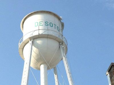
De Soto, human settlement in Kansas, United States of America

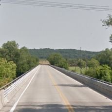
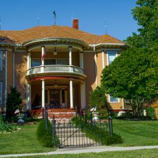
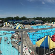
De Soto is a small city located on the south bank of the Kansas River in Johnson County. It spreads across residential streets with houses positioned close together and includes parks, schools, shops, and a community aquatic center that serve local families.

De Soto was founded in 1857 and grew slowly until World War II, when the nearby Sunflower Army Ammunition Plant brought thousands of workers to the area. A major flood in 1951 caused significant damage and led to new building practices that shaped the city's future development.

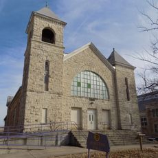
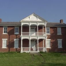
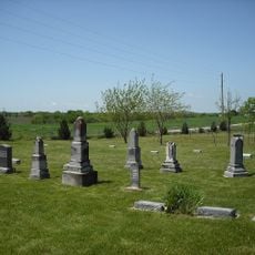
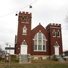
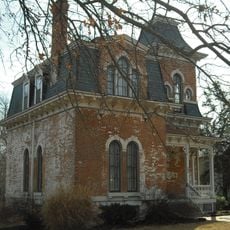
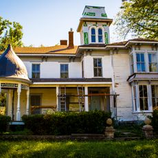
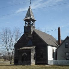
De Soto carries the name of Spanish explorer Hernando de Soto, a choice that reflects the town's founding era and remains part of its identity today. The city preserves memories of the Shawnee people who once inhabited the area, visible through historical sites like the Shawnee Mission Church and agency buildings that still stand.

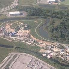
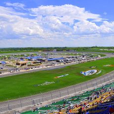
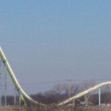
De Soto is situated near Kansas City and connected by highways and old railroad lines, making it easy to reach and navigate. The city offers accessible amenities including parks, sports fields, a community aquatic center, and local shops throughout its neighborhoods.

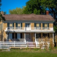
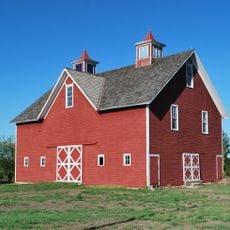
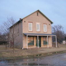
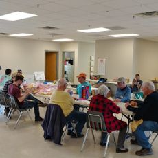
A historic barn built in the 1880s was relocated to a farmstead in 2000 and has since hosted weddings and celebrations. After being damaged by a storm in 2010, the community rebuilt it, demonstrating how residents value and actively preserve their local heritage.

The community of curious travelers

AroundUs brings together thousands of curated places, local tips, and hidden gems, enriched daily by 60,000 contributors worldwide.

Start exploring
Location
Inception
1828
Elevation above the sea
262 m
GPS coordinates
38.96500,-94.96220
Latest update
February 17, 2026 01:20
Around this place
Children's Mercy Park
United States of America

Children's Mercy Park

21.2 km
Schlitterbahn Kansas City
United States of America

Schlitterbahn Kansas City

22.1 km
Kansas Speedway
United States of America

Kansas Speedway

20.3 km
Haskell Indian Nations University
United States of America

Haskell Indian Nations University

23.6 km
Verrückt
United States of America

Verrückt

22 km
Grinter Place
United States of America

Grinter Place

21.4 km
United States of America

Kansas City Air Route Traffic Control Center

17.6 km
Mahaffie House
United States of America

Mahaffie House

16.1 km
Granada Theater
United States of America

Granada Theater

23.7 km
Haskell Memorial Stadium
United States of America

Haskell Memorial Stadium

23.4 km
Highway 2 Bridge
United States of America

Highway 2 Bridge

1.9 km
Beni Israel Cemetery
United States of America

Beni Israel Cemetery

13.6 km
St. Luke African Methodist Episcopal Church
United States of America

St. Luke African Methodist Episcopal Church

23.2 km
Park Lanes Family Fun Center
United States of America

Park Lanes Family Fun Center

16.1 km
William Thomas Turner Barn
United States of America

William Thomas Turner Barn

22.3 km
S.T. Zimmerman House
United States of America

S.T. Zimmerman House

23.3 km
I. O. Pickering House
United States of America

I. O. Pickering House

15 km
Albert Ott House
United States of America

Albert Ott House

16 km
Franklin R. Lanter House
United States of America

Franklin R. Lanter House

14.9 km
Vinland Grange Hall
United States of America

Vinland Grange Hall

23.7 km
Vinland Presbyterian Church
United States of America

Vinland Presbyterian Church

23.6 km
Douglas County Courthouse
United States of America

Douglas County Courthouse

23.6 km
Martin Van Buren Parker House
United States of America

Martin Van Buren Parker House

14.7 km
Mahaffie Stagecoach Stop-Farm
United States of America

Mahaffie Stagecoach Stop-Farm

16.2 km
Thomas A. Soetaert Aquatic Center
United States of America

Thomas A. Soetaert Aquatic Center

19.8 km
National Agricultural Center and Hall of Fame
United States of America

National Agricultural Center and Hall of Fame

17.7 km
Shawnee Town 1929 Museum
United States of America

Shawnee Town 1929 Museum

22 km
National Agricultural Center and Hall of Fame
United States of America

National Agricultural Center and Hall of Fame

17.9 km
Show the full map
Reviews
Share your experience

No review yet

Discussions
Start a discussion...

No discussion yet

« De Soto - human settlement in Kansas, United States of America » is provided by Around Us (aroundus.com). Images and texts are derived from Wikimedia project under a Creative Commons license. You are allowed to copy, distribute, and modify copies of this page, under the conditions set by the license, as long as this note is clearly visible.

Discover hidden gems everywhere you go!

From secret cafés to breathtaking viewpoints, skip the crowded tourist spots and find places that match your style. Our app makes it easy with voice search, smart filtering, route optimization, and insider tips from travelers worldwide. Download now for the complete mobile experience.

Around Us App Screenshot

A unique approach to discovering new places

Le Figaro

All the places worth exploring

France Info

A tailor-made excursion in just a few clicks

20 Minutes

Around Us
Travel Guide & Maps
Download

Send to your phone

QR Code
1

Open the camera app on your mobile.

2

Point at the QR code with your camera. A notification will appear.

3

Tap the notification to open the link.