Moca, Administrative division in Puerto Rico, United States.
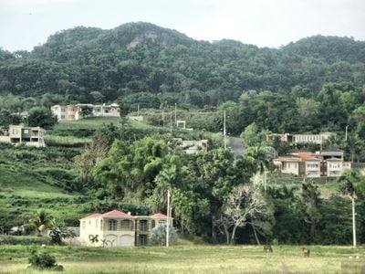
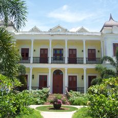
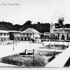
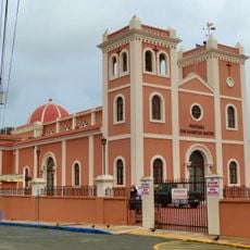
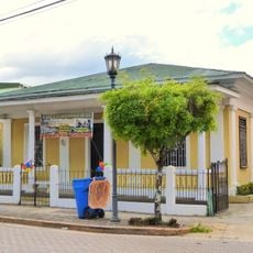
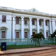
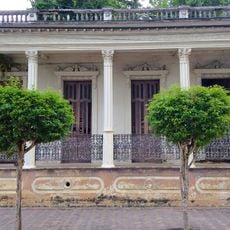
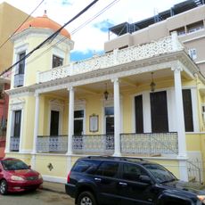
Moca is a municipality in Puerto Rico comprising several neighborhoods spread across flat terrain in the northwestern part of the island. The town center features public squares, administrative buildings, and residential areas arranged in a traditional grid pattern.
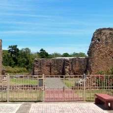
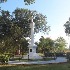
Moca ranks among the earliest municipalities established in Puerto Rico during the colonial period. It later became an administrative center that supported European control and settlement patterns across the rural region.
The municipality's name comes from the Taíno language, and visitors today notice a blend of Creole traditions alongside American administrative practices. This appears in everyday details like street signage and how neighborhoods organize their local celebrations.
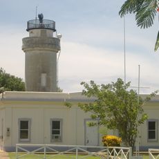
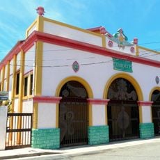
Municipal offices are located in the town center and handle administrative services and permits during regular business hours. Getting around requires local buses or a personal vehicle, as public transportation options in this area are limited.
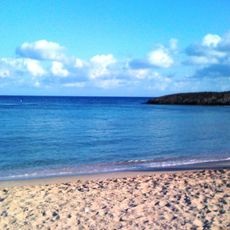
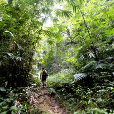
The area is known for its agricultural heritage, particularly farming methods used for generations in this fertile northern zone. Its flat terrain made it ideal for colonial plantations, a pattern that still shapes the landscape today.
The community of curious travelers
AroundUs brings together thousands of curated places, local tips, and hidden gems, enriched daily by 60,000 contributors worldwide.