
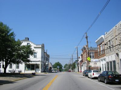
Owingsville, city in Bath County, Kentucky
Location: Bath County
Elevation above the sea: 306 m
GPS coordinates: 38.14278,-83.76611
Latest update: March 7, 2025 06:29
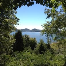
Cave Run Lake
25 km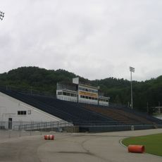
Jayne Stadium
30.3 kmPilot Knob State Nature Preserve
29.8 km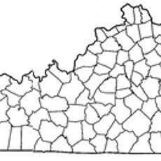
Kentucky Folk Art Center
29.4 km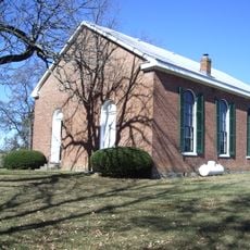
Goshen Primitive Baptist Church
30.1 km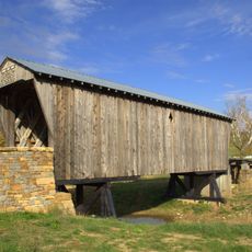
Goddard Covered Bridge
27.7 km
Confederate Monument of Mt. Sterling
17.4 km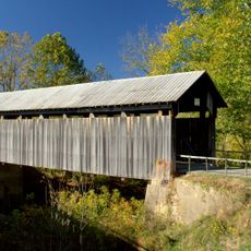
Ringos Mill Covered Bridge
19.5 km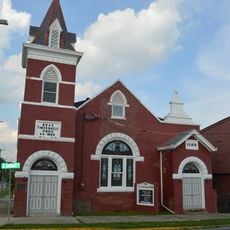
KEAS Tabernacle Christian Methodist Episcopal Church
17.9 km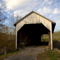
Hillsboro Covered Bridge
15.9 km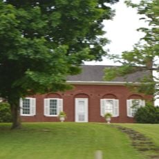
Enoch Smith House
19.8 km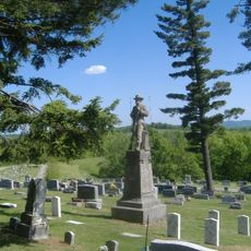
Confederate Monument in Owingsville
587 m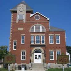
Rowan County Courthouse
29.5 km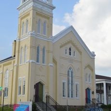
Methodist Episcopal Church South
17.9 km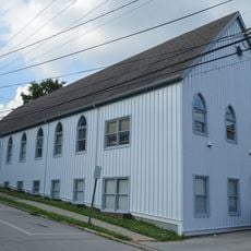
Church of the Ascension
18.2 km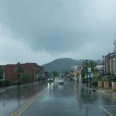
Downtown Morehead Historic District
29.2 km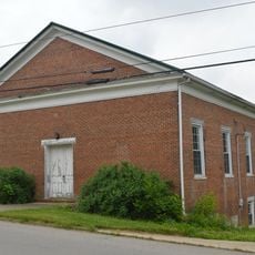
Elizaville Presbyterian Church
31.2 km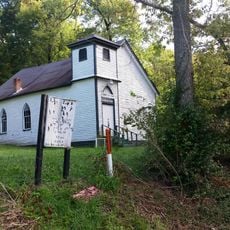
Corinth Christian Methodist Episcopal Church
30.2 km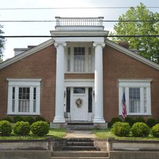
Raccoon John Smith House
268 m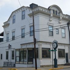
Thomas Deye Owings House
209 m
Snow Hill
26.3 km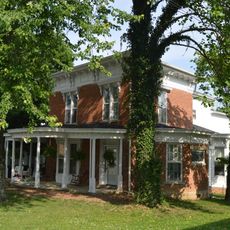
J.J. Nesbitt House
213 m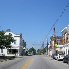
Owingsville Commercial District and Courthouse Square
330 m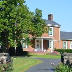
William Mathers House
30.7 km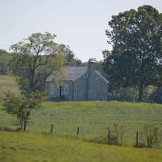
Erasmus Riggs House
28.6 km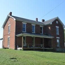
Thomas A. Dorsey Farmhouse
29.2 kmBrushy Voting House No. 6
25.4 km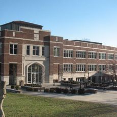
Morehead State University
29.5 kmVisited this place? Tap the stars to rate it and share your experience / photos with the community! Try now! You can cancel it anytime.
Discover hidden gems everywhere you go!
From secret cafés to breathtaking viewpoints, skip the crowded tourist spots and find places that match your style. Our app makes it easy with voice search, smart filtering, route optimization, and insider tips from travelers worldwide. Download now for the complete mobile experience.

A unique approach to discovering new places❞
— Le Figaro
All the places worth exploring❞
— France Info
A tailor-made excursion in just a few clicks❞
— 20 Minutes