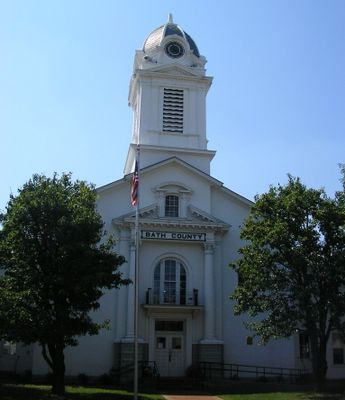
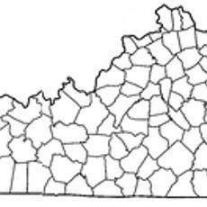
Bath County, County in Eastern Kentucky, United States.
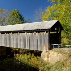
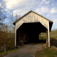
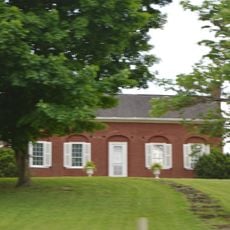
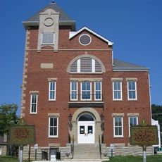
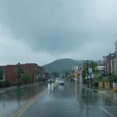
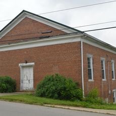
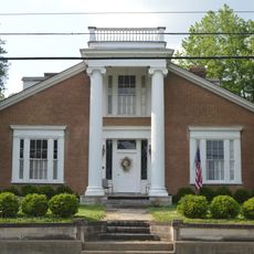
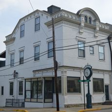
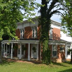
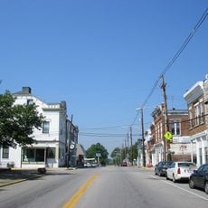
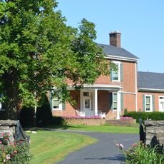
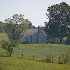
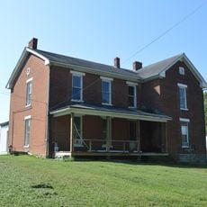
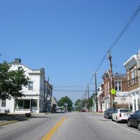
Bath County is a county in Eastern Kentucky with Owingsville serving as its administrative center. The area comprises several small towns and communities spread across rural territory with natural landscapes.
The county was established in 1811, carved from portions of Montgomery County, and named after the natural mineral springs found throughout the region. These springs were important to early settlement and the territory's development.
The region is known for its natural mineral springs, which gave the county its name and have been valued by locals for generations. Visitors can see the lasting importance of these springs reflected in local life and how people connect to the landscape.
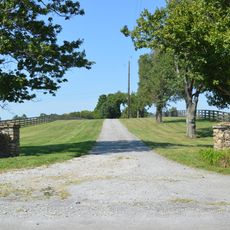
The area is accessible by car and works well for driving through rolling terrain and visiting small communities. Visitors should expect local roads and allow time for leisurely exploration at a relaxed pace.
In 1876, the area experienced the so-called "Meat Shower" phenomenon, when an unexplained substance fell from the sky, sparking widespread puzzlement. This mysterious event remains part of local folklore and is still talked about by residents and travelers.
Location: Kentucky
Inception: January 15, 1811
Capital city: Owingsville
Shares border with: Rowan County, Menifee County, Montgomery County, Bourbon County, Nicholas County, Fleming County
Website: http://owingsville.com
GPS coordinates: 38.14000,-83.74000
Latest update: December 7, 2025 19:31
Cave Run Lake
22.7 km
Jayne Stadium
28.1 km
Pilot Knob State Nature Preserve
30.7 km
Kentucky Folk Art Center
27.2 km
Goshen Primitive Baptist Church
32 km
Goddard Covered Bridge
27 km
Confederate Monument of Mt. Sterling
19.2 km
Ringos Mill Covered Bridge
18.2 km
KEAS Tabernacle Christian Methodist Episcopal Church
19.8 km
First Presbyterian Church
31.7 km
Hillsboro Covered Bridge
14.9 km
Enoch Smith House
21.7 km
Confederate Monument in Owingsville
1.7 km
Rowan County Courthouse
27.3 km
Methodist Episcopal Church South
19.8 km
Church of the Ascension
20.1 km
Downtown Morehead Historic District
27 km
Elizaville Presbyterian Church
31.9 km
Raccoon John Smith House
2.5 km
Thomas Deye Owings House
2.2 km
Snow Hill
28.6 km
J.J. Nesbitt House
2.5 km
Owingsville Commercial District and Courthouse Square
2.1 km
William Mathers House
32.7 km
Erasmus Riggs House
30.8 km
Thomas A. Dorsey Farmhouse
31.2 km
Brushy Voting House No. 6
23.4 km
Morehead State University
27.3 kmVisited this place? Tap the stars to rate it and share your experience / photos with the community! Try now! You can cancel it anytime.
Discover hidden gems everywhere you go!
From secret cafés to breathtaking viewpoints, skip the crowded tourist spots and find places that match your style. Our app makes it easy with voice search, smart filtering, route optimization, and insider tips from travelers worldwide. Download now for the complete mobile experience.
A unique approach to discovering new places❞
— Le Figaro
All the places worth exploring❞
— France Info
A tailor-made excursion in just a few clicks❞
— 20 Minutes