Chest opened
+${chestReward.xp} XP
Explorer
NOUVEAU ×${chestReward.collectible.quantity}
tapez pour fermer

See the monuments around you in AR Open chests in the app

Around Us is built for your phone — point your camera at the streets and discover the monuments and places around you in augmented reality. Around Us is built for your phone — chests unlock when you walk, explore and capture nearby places.

•

Enable Location

We need your location to show you interesting places around you

Discover nearby places

Find interesting locations and hidden gems around you

Precise directions

Get accurate directions and distances to places

Your location is never shared with other users. It's only used when you tap the location button.

11th Street Bridges

Log in to your account

Start exploring — it's free

Trusted by 89,158 travelers worldwide

Continue with Google
Continue with Apple
or

We will send you a code to connect

By continuing, you accept our Terms and Conditions and our Privacy Policy

Check your inbox

We've sent a pincode in your inbox. Please enter the code below.

11th Street Bridges
Discussion Reviews 1 Photos
9.7k Popularity

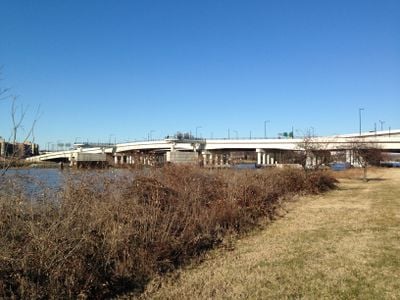
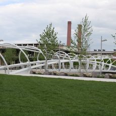
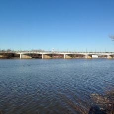
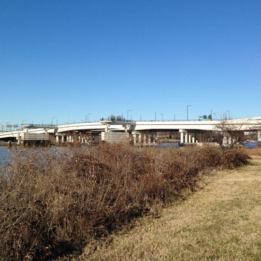
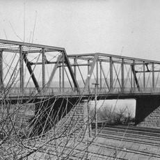
11th Street Bridges, Road bridge complex in Washington, D.C., United States.

The 11th Street Bridges form a complex of three separate structures that cross the Anacostia River, connecting Interstate 695 with Interstate 295 and DC 295. The structures include multiple traffic lanes designed to move a high volume of vehicles across the river daily.

The original bridge structure dates to the early 1800s and underwent several major reconstructions over time. A modern four-lane bridge was built in 1965, followed by an additional span in 1969 to increase traffic capacity.

The southbound span carries the name Officer Kevin J. Welsh Memorial Bridge since 2011, honoring a police officer who died during a rescue operation. This dedication reflects how the community marks local heroes and keeps their stories alive.

The bridges handle heavy daily traffic and connect multiple major routes through the area. Plan your visit to avoid rush hours if you prefer to cross with lighter traffic.

The bridge project integrated pedestrian walkways and cycling paths, creating new connections between communities on both sides of the Anacostia. These paths allow people to cross the river safely outside the traffic lanes.

The community of curious travelers

AroundUs brings together thousands of curated places, local tips, and hidden gems, enriched daily by 60,000 contributors worldwide.
Start exploring
GPS coordinates
38.87200,-76.98930
Latest update
September 17, 2026 04:54
Around this place
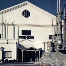
National Museum of the United States Navy
United States of America

National Museum of the United States Navy

0.3 mi
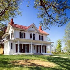
Frederick Douglass National Historic Site
United States of America

Frederick Douglass National Historic Site

0.6 mi
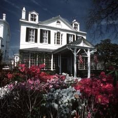
Tingey House
United States of America

Tingey House

0.4 mi
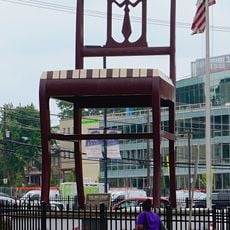
Chair
United States of America

Chair

0.5 mi
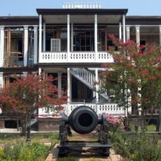
Officers Quarters, Washington Navy Yard
United States of America

Officers Quarters, Washington Navy Yard

0.4 mi
Latrobe Gate
United States of America

Latrobe Gate

0.4 mi
Anacostia Historic District
United States of America

Anacostia Historic District

0.5 mi
Marine Corps Museum
United States of America

Marine Corps Museum

0.3 mi
United States National Transportation Library
United States of America

United States National Transportation Library

0.8 mi
The Yards
United States of America

The Yards

0.6 mi
Building 170
United States of America

Building 170

0.7 mi
Washington and Georgetown Railroad Car House
United States of America

Washington and Georgetown Railroad Car House

0.6 mi
Commandant's Office, Washington Navy Yard
United States of America

Commandant's Office, Washington Navy Yard

0.3 mi
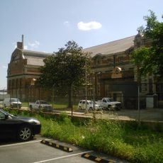
District of Columbia Main Sewerage Pumping Station
United States of America

District of Columbia Main Sewerage Pumping Station

0.8 mi
Pennsylvania Avenue Bridge
United States of America

Pennsylvania Avenue Bridge

0.7 mi
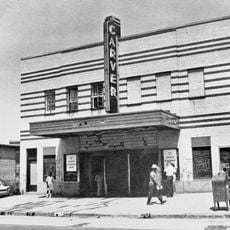
Carver Theater
United States of America

Carver Theater

0.7 mi
United States of America

Honfleur Gallery

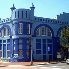
0.4 mi
Anacostia Neighborhood Library
United States of America

Anacostia Neighborhood Library

0.7 mi
John Philip Sousa Bridge
United States of America

John Philip Sousa Bridge

0.7 mi
Light Tower
United States of America

Light Tower

0.7 mi
United States of America

Mural

0.4 mi
United States of America

Statue, Work of art

0.3 mi
United States of America

Sculpture

0.7 mi
United States of America

Scenic viewpoint

440 ft
United States of America

Overlook

0.7 mi
United States of America

Waterfall

0.7 mi
United States of America

Anchor

0.4 mi
United States of America

Anchor

0.4 mi
Show the full map
Reviews
Share your experience

No review yet

Discussions
Start a discussion...

No discussion yet

« 11th Street Bridges - Road bridge complex in Washington, D.C., United States » is provided by Around Us (aroundus.com). Images and texts are derived from Wikimedia project under a Creative Commons license. You are allowed to copy, distribute, and modify copies of this page, under the conditions set by the license, as long as this note is clearly visible.

Discover hidden gems everywhere you go!

From secret cafés to breathtaking viewpoints, skip the crowded tourist spots and find places that match your style. Our app makes it easy with voice search, smart filtering, route optimization, and insider tips from travelers worldwide. Download now for the complete mobile experience.

Around Us App Screenshot
❝

A unique approach to discovering new places❞

— Le Figaro

❝

All the places worth exploring❞

— France Info

❝

A tailor-made excursion in just a few clicks❞

— 20 Minutes

Around Us
Travel Guide & Maps
Download

Send to your phone

QR Code
1

Open the camera app on your mobile.

2

Point at the QR code with your camera. A notification will appear.

3

Tap the notification to open the link.