Enable Location

We need your location to show you interesting places around you

Discover nearby places

Find interesting locations and hidden gems around you

Precise directions

Get accurate directions and distances to places

Your location is never shared with other users. It's only used when you tap the location button.

Southeast

Log in to your account

Start exploring — it's free

Trusted by 63,072 travelers worldwide

Continue with Google
Continue with Apple
or

We will send you a code to connect

By continuing, you accept our Terms and Conditions and our Privacy Policy

Check your inbox

We've sent a pincode in your inbox. Please enter the code below.

Discussion Reviews 1 Photos
19.7k Popularity

Southeast, Residential quadrant in Washington, D.C., US

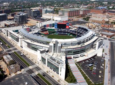
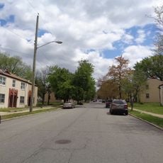
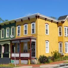
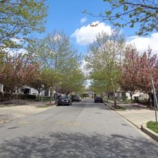
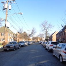
Southeast is a quadrant of the city located south of East Capitol Street and east of South Capitol Street, featuring a mix of residential blocks and commercial corridors. The area includes parks, schools, and local businesses that serve the neighborhoods within its boundaries.

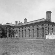
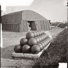
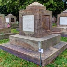
The area was fortified during the Civil War between 1861 and 1865 with multiple defensive structures built to shield the city from Confederate forces. These fortifications remain visible features that shaped the landscape and continue to mark important locations.

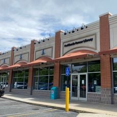
Eastern Market serves as a gathering place where locals and visitors browse fresh goods, handmade crafts, and regional foods from neighborhood vendors. The market reflects the craft traditions and diversity of the people who live and work in the area.

The Blue, Orange, Green, and Silver Lines of the Washington Metro serve multiple stations throughout the quadrant, making it easy to navigate by public transit. Neighborhoods have varying walkability depending on the density of the local street grid.

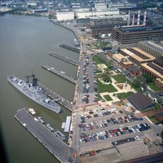
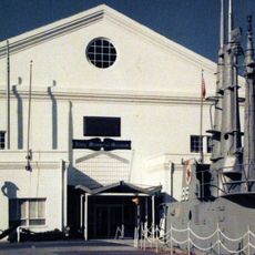
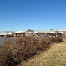
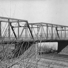
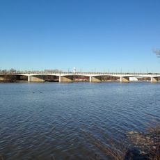
The Anacostia River runs through the quadrant, separating a western section that includes the Navy Yard from an eastern section with Fort Dupont Park. This division created two neighborhoods with distinct characters and development patterns.

The community of curious travelers

AroundUs brings together thousands of curated places, local tips, and hidden gems, enriched daily by 60,000 contributors worldwide.

Start exploring
Location
Shares border with
Northwest, Northeast, Southwest, Prince George's County
GPS coordinates
38.86361,-76.97444
Latest update
December 7, 2025 10:07
Around this place
Washington Navy Yard
United States of America

Washington Navy Yard

2.1 km
Anacostia
United States of America

Anacostia

874 m
Congressional Cemetery
United States of America

Congressional Cemetery

2 km
National Museum of the United States Navy
United States of America

National Museum of the United States Navy

2.1 km
Frederick Douglass National Historic Site
United States of America

Frederick Douglass National Historic Site

942 m
Barry Farm
United States of America

Barry Farm

2 km
D.C. Jail
United States of America

D.C. Jail

2.2 km
11th Street Bridges
United States of America

11th Street Bridges

1.6 km
Anacostia Community Museum
United States of America

Anacostia Community Museum

777 m
The Big Chair
United States of America

The Big Chair

1.3 km
Anacostia Historic District
United States of America

Anacostia Historic District

874 m
Marine Corps Museum
United States of America

Marine Corps Museum

2 km
Dupont Park
United States of America

Dupont Park

1.4 km
Douglass
United States of America

Douglass

1.9 km
Fairfax Village
United States of America

Fairfax Village

2 km
Fort Stanton
United States of America

Fort Stanton

468 m
Public Vault at the Congressional Cemetery
United States of America

Public Vault at the Congressional Cemetery

2.1 km
Francis A. Gregory Neighborhood Library
United States of America

Francis A. Gregory Neighborhood Library

1.8 km
Anacostia Railroad Bridge
United States of America

Anacostia Railroad Bridge

1.8 km
Alexander Dallas Bache Monument
United States of America

Alexander Dallas Bache Monument

2 km
Commandant's Office, Washington Navy Yard
United States of America

Commandant's Office, Washington Navy Yard

2.1 km
Pennsylvania Avenue Bridge
United States of America

Pennsylvania Avenue Bridge

1.5 km
Carver Theater
United States of America

Carver Theater

1.6 km
Anacostia Neighborhood Library
United States of America

Anacostia Neighborhood Library

441 m
Bet Mishpachah Cemetery
United States of America

Bet Mishpachah Cemetery

1.9 km
Parklands-Turner Neighborhood Library
United States of America

Parklands-Turner Neighborhood Library

2 km
John Philip Sousa Bridge
United States of America

John Philip Sousa Bridge

1.5 km
Latrobe cenotaphs
United States of America

Latrobe cenotaphs

2 km
Show the full map
Reviews
Share your experience

No review yet

Discussions
Start a discussion...

No discussion yet

« Southeast - Residential quadrant in Washington, D.C., US » is provided by Around Us (aroundus.com). Images and texts are derived from Wikimedia project under a Creative Commons license. You are allowed to copy, distribute, and modify copies of this page, under the conditions set by the license, as long as this note is clearly visible.

Discover hidden gems everywhere you go!

From secret cafés to breathtaking viewpoints, skip the crowded tourist spots and find places that match your style. Our app makes it easy with voice search, smart filtering, route optimization, and insider tips from travelers worldwide. Download now for the complete mobile experience.

Around Us App Screenshot

A unique approach to discovering new places

Le Figaro

All the places worth exploring

France Info

A tailor-made excursion in just a few clicks

20 Minutes

Around Us
Travel Guide & Maps
Download

Send to your phone

QR Code
1

Open the camera app on your mobile.

2

Point at the QR code with your camera. A notification will appear.

3

Tap the notification to open the link.