Beaver Lake, Reservoir in Northwest Arkansas, United States.
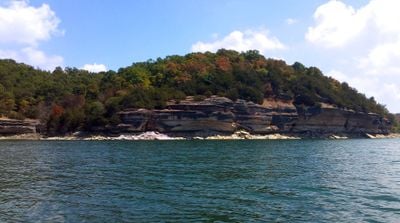
Beaver Lake is a reservoir in northwest Arkansas that spans three counties and features a winding shoreline with limestone bluffs. The water sits between forested hills, and several coves lead into quieter areas with shallow water.
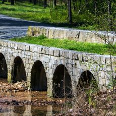
Congress approved the project in the mid-1950s to control flooding on the White River and provide drinking water. The dam was completed in the early 1960s, after which the valley slowly flooded and several small towns disappeared underwater.
The name comes from beavers that once lived along the White River before the reservoir was formed. Anglers and boaters now use the water for recreation, while the surrounding forests invite hiking.
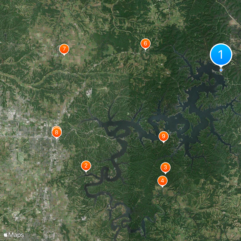
The shoreline is long and branched, so a map or GPS device helps navigate between coves. Several recreation areas offer boat ramps and campsites, with facilities varying by location.
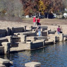
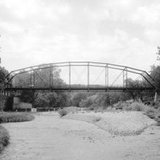
When the water level drops, ruins of the old settlement Monte Ne become visible, including foundation walls and a concrete pavilion. Divers occasionally explore these submerged remains, which otherwise stay hidden.
The community of curious travelers
AroundUs brings together thousands of curated places, local tips, and hidden gems, enriched daily by 60,000 contributors worldwide.