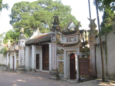
Thanh Trì, Rural district in southeastern Hanoi, Vietnam
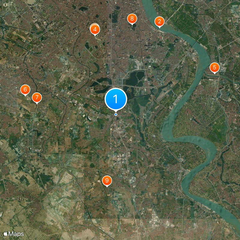
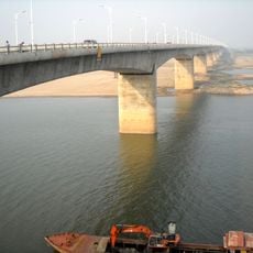
Thanh Trì is a rural district located in southeastern Hanoi that spans across land along the western bank of the Red River. The area contains numerous ponds and lakes distributed across fifteen communes.
The name comes from the historical term Thanh Đầm, meaning Blue Lagoon, reflecting the abundance of water features that have always characterized the land. This naming reflects how the water-rich landscape has shaped the region's identity over time.
Local families prepare a regional version of bánh cuốn, thin rice noodle rolls filled with meat and vegetables, using techniques that have been handed down for many years. This dish remains a central part of daily life and shows the food traditions that define the area.
The district sits directly south of central Hanoi and connects to neighboring areas through main roads along its borders with Hoang Mai to the north and Thanh Xuan to the northwest. Getting around the area is straightforward thanks to these direct connections.
The To Lich River passes through this district before meeting the Red River, creating an intricate network of waterways that shapes how people live and move through the landscape. These water passages have long been part of daily transportation and land use patterns.
The community of curious travelers
AroundUs brings together thousands of curated places, local tips, and hidden gems, enriched daily by 60,000 contributors worldwide.