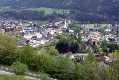
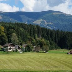
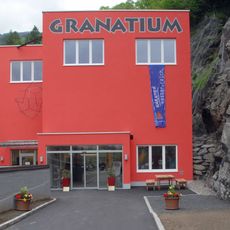
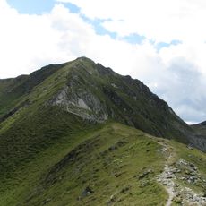
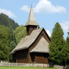
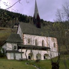
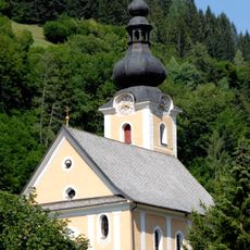
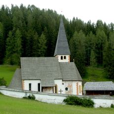
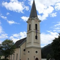
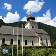
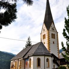
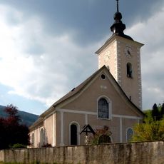
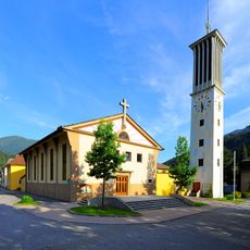
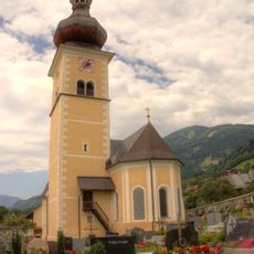
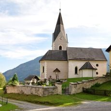
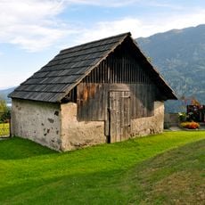
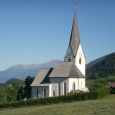
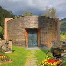
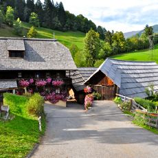
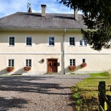
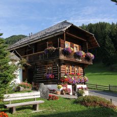
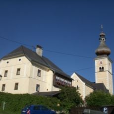
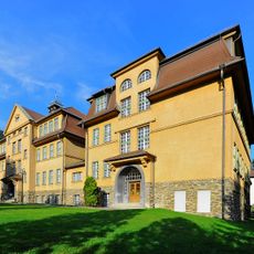
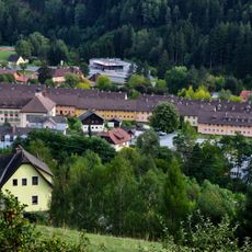
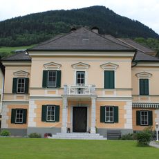
Radenthein, municipality in Spittal an der Drau District, Carinthia, Austria
Location: Spittal an der Drau District
Elevation above the sea: 746 m
Shares border with: Krems in Kärnten, Millstatt am See, Bad Kleinkirchheim, Feld am See, Ferndorf
Email: stadtgemeinde@radenthein.gv.at
Website: http://radenthein.gv.at
GPS coordinates: 46.80000,13.70000
Latest update: March 11, 2025 12:12
Mirnock
4.7 km
Granattor
6 km
Großer Rosennock
8.6 km
Alpen Wildpark Feld am See
3.2 km
Granatium
432 m
Klomnock
11.3 km
Protestant church Bad Kleinkirchheim
7.2 km
Hl. Katharina im Bade, Bad Kleinkirchheim
6.4 km
Saint Ulrich of Augsburg Church (Bad Kleinkirchheim)
7.7 km
Sankt Oswald in Bad Kleinkirchheim
6.3 km
Evangelische Kirche in Feld am See
4.5 km
Pfarrkirche hl. Ägydius, Döbriach (Radenthein)
3.8 km
Pfarrkirche hl. Johannes d. T., Kaning
2.7 km
Pfarrkirche Heiliger Nikolaus, Radenthein
598 m
Johanneskirche Radenthein
554 m
Kirche in Obermillstatt
8.2 km
Kath. Pfarrkirche hl. Petrus
2 km
Alter Friedhof und gotischer Bau, Sankt Peter ob Radenthein
2 km
Kirche Maria Schnee in Matzelsdorf
5.2 km
Jakobskapelle
7.7 km
Bauernhof (Anlage) Stoffl
869 m
Pfarrhof Sankt Peter ob Radenthein
2 km
Pfarrhof St. Oswald, Bad Kleinkirchheim
6.3 km
Kriegerdenkmal Radenthein
761 m
Pfarrhof Obermillstatt
8.2 km
Volks- und Hauptschule Radenthein
580 m
Siedlungsplatz
139 m
Evangelisches Pfarrhaus
4.5 kmReviews
Visited this place? Tap the stars to rate it and share your experience / photos with the community! Try now! You can cancel it anytime.
Discover hidden gems everywhere you go!
From secret cafés to breathtaking viewpoints, skip the crowded tourist spots and find places that match your style. Our app makes it easy with voice search, smart filtering, route optimization, and insider tips from travelers worldwide. Download now for the complete mobile experience.
A unique approach to discovering new places❞
— Le Figaro
All the places worth exploring❞
— France Info
A tailor-made excursion in just a few clicks❞
— 20 Minutes