
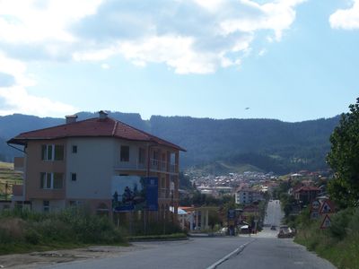
Borino, village bulgare
Location: Borino Municipality
Elevation above the sea: 1,146 m
Website: http://borino.org
GPS coordinates: 41.68359,24.29270
Latest update: March 3, 2025 03:10
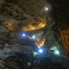
Devil's Throat Cave
10.5 km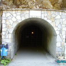
Yagodinska
6.8 km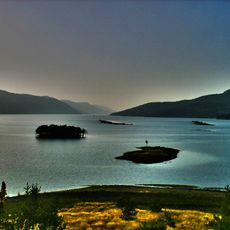
Dospat Reservoir
17.3 km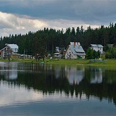
Shiroka Polyana
14 km
Golyam Perelik
25.2 km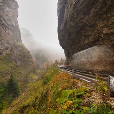
Trigrad Gorge
10.4 km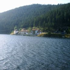
Golyam Beglik
20 km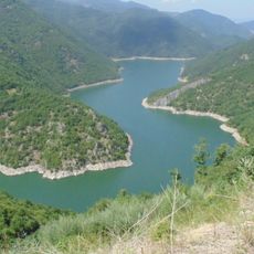
Tsankov Kamak Reservoir
16.3 km
Beglika
20.6 km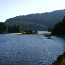
Beglika Reservoir
20.7 km
Dikchan
23.9 km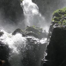
Fotinski Waterfall
25.1 km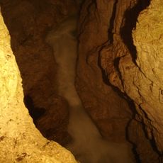
Devil's Throat Waterfall
10.7 km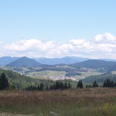
Виденица
8.3 km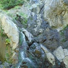
Samodivsko praskalo
9.2 km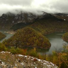
Kastrakliy
779 m
Kazanite
8.1 km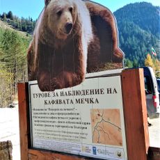
Музей на мечката
11.1 km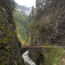
Триградското ждрело
10.4 km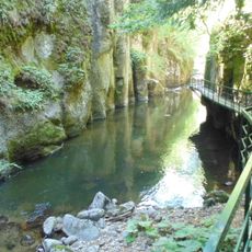
Protected Area Devin River Valley
16.6 km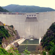
Tsankov Kamak Dam
19.8 km
Rodopi - Zapadni
9.3 km
Скалето
20.2 km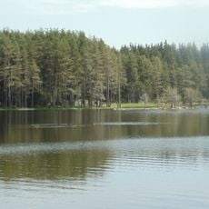
Shiroka Polyana
14.8 km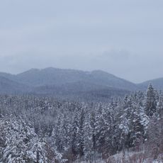
Чарджик
18.8 km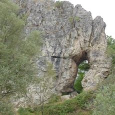
Nastanska mogila
11.6 km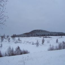
Марашова чука
21.1 km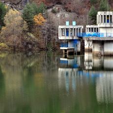
Teshel
5 kmVisited this place? Tap the stars to rate it and share your experience / photos with the community! Try now! You can cancel it anytime.
Discover hidden gems everywhere you go!
From secret cafés to breathtaking viewpoints, skip the crowded tourist spots and find places that match your style. Our app makes it easy with voice search, smart filtering, route optimization, and insider tips from travelers worldwide. Download now for the complete mobile experience.

A unique approach to discovering new places❞
— Le Figaro
All the places worth exploring❞
— France Info
A tailor-made excursion in just a few clicks❞
— 20 Minutes