Cofrentes, municipality of Spain
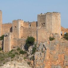
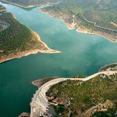
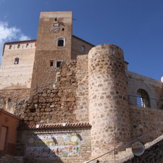
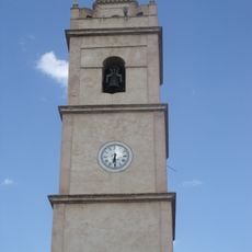
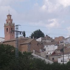
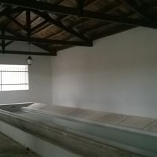
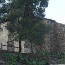
Cofrentes is a municipality in the El Valle de Cofrentes-Ayora region of Valencia Province, Spain, sitting at the confluence of the Júcar and Cabriel rivers. A medieval castle tower rises above the old part of town, where narrow streets lead down to a central square surrounded by traditional stone buildings.
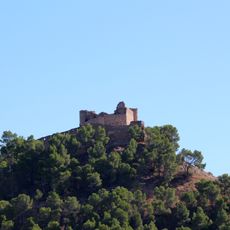
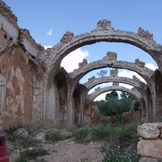
The site was already settled in the Bronze Age and later came under Muslim rule, during which the first fortification was built on the hill above the rivers. After the Christian reconquest in the 13th century, the town changed hands several times before being permanently absorbed into the Crown of Aragon.
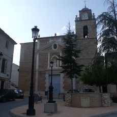
Cofrentes hosts a yearly patron saint festival where music, traditional food, and folk performances fill the central square. The castle overlooking the square serves as a natural backdrop for gatherings that locals have organized in the same spot for generations.
Cofrentes is most easily reached by car via regional roads from Valencia or Albacete. The town center is compact enough to walk around, though the path up to the castle requires some effort on foot.
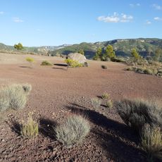
Just outside the town center rises the Cerro de Agras, one of the few volcanic cones in the Valencia region and open to visitors on foot. The clock mechanism inside the castle tower is considered one of the rare working examples of its type in Europe and draws specialists from several countries.
The community of curious travelers
AroundUs brings together thousands of curated places, local tips, and hidden gems, enriched daily by 60,000 contributors worldwide.