Enable Location

We need your location to show you interesting places around you

Discover nearby places

Find interesting locations and hidden gems around you

Precise directions

Get accurate directions and distances to places

Your location is never shared with other users. It's only used when you tap the location button.

Irun

Log in to your account

Start exploring — it's free

Trusted by 61,786 travelers worldwide

Continue with Google
Continue with Apple
or

We will send you a code to connect

By continuing, you accept our Terms and Conditions and our Privacy Policy

Check your inbox

We've sent a pincode in your inbox. Please enter the code below.

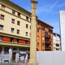
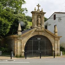
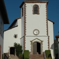
Irun, Administrative municipality in Bidasoaldea region, Gipuzkoa, Spain

Description

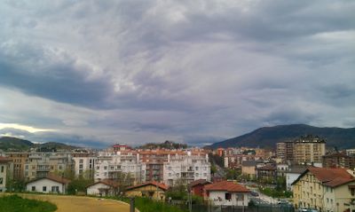
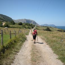
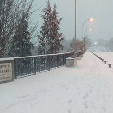
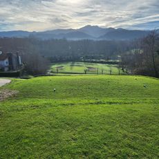
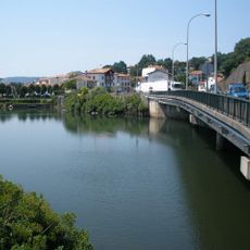
Irun is a municipality in the Bidasoaldea region of Gipuzkoa, sitting along the Bidasoa River up to the French border. The town center occupies the river valley, with neighborhoods spreading from the northern coast to the first hills in the south.

History

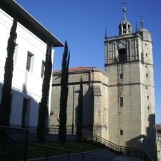
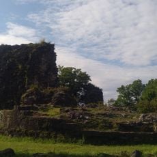
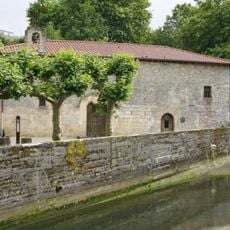
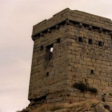
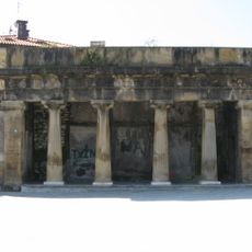
The Roman settlement of Oiasso once occupied this area, with its harbor and trade routes shaping later development. The formal establishment as a municipality came on February 28, 1776, within the Basque administrative framework.

Culture

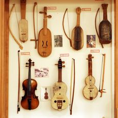
The name comes from the Basque word for three waters, as several rivers meet here. At the border between two countries, people speak both Spanish and Basque in daily life, and sometimes you hear French from nearby towns across the river.

Practical

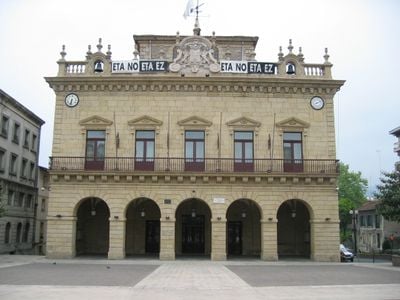
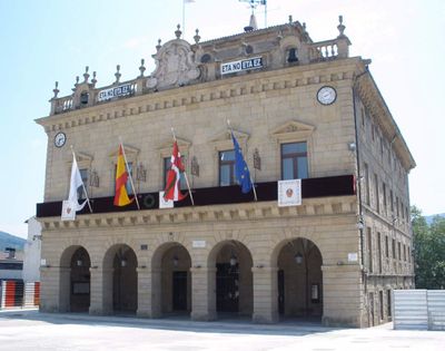
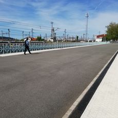
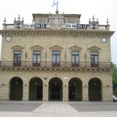
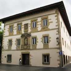
The town hall is located at San Juan Arria Plaza 1 and provides general information about the area. Visitors coming from or going to France will find border crossings here for both road traffic and trains.

Did you know?

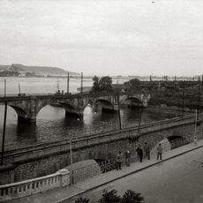
The railway station has tracks with two different gauges running side by side, because Spanish and French rail networks use different technical standards. Some trains must change axles or switch to another track here.

Location
Inception
February 28, 1776
Capital city
Irun
Elevation above the sea
20 m
Part of
Mancomunidad de Servicios de Txingudi
Shares border with
Hondarribia, Lezo, Oiartzun, Lesaka, Bera, Biriatou, Urrugne, Hendaye
Website
GPS coordinates
43.33781,-1.78881
Latest update
December 13, 2025 17:42

AroundUs brings together thousands of curated places, local tips, and hidden gems, enriched daily by 60,000 contributors worldwide. Discover all places nearby (Bidasoaldea).

« Irun - Administrative municipality in Bidasoaldea region, Gipuzkoa, Spain » is provided by Around Us (aroundus.com). Images and texts are derived from Wikimedia project under a Creative Commons license. You are allowed to copy, distribute, and modify copies of this page, under the conditions set by the license, as long as this note is clearly visible.

Discover hidden gems everywhere you go!

From secret cafés to breathtaking viewpoints, skip the crowded tourist spots and find places that match your style. Our app makes it easy with voice search, smart filtering, route optimization, and insider tips from travelers worldwide. Download now for the complete mobile experience.

Around Us App Screenshot

A unique approach to discovering new places

Le Figaro

All the places worth exploring

France Info

A tailor-made excursion in just a few clicks

20 Minutes

Around Us
Travel Guide & Maps
Download

Send to your phone

QR Code
1

Open the camera app on your mobile.

2

Point at the QR code with your camera. A notification will appear.

3

Tap the notification to open the link.