Enable Location

We need your location to show you interesting places around you

Discover nearby places

Find interesting locations and hidden gems around you

Precise directions

Get accurate directions and distances to places

Your location is never shared with other users. It's only used when you tap the location button.

Pájara

Log in to your account

Start exploring — it's free

Trusted by 62,057 travelers worldwide

Continue with Google
Continue with Apple
or

We will send you a code to connect

By continuing, you accept our Terms and Conditions and our Privacy Policy

Check your inbox

We've sent a pincode in your inbox. Please enter the code below.

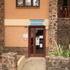
Pájara, Municipality in Fuerteventura, Spain

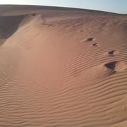
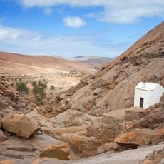
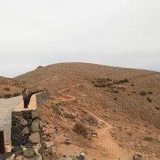
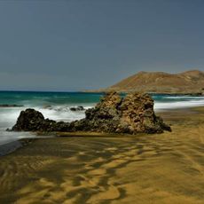
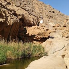
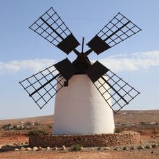
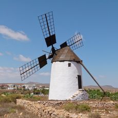
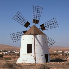
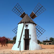
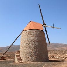
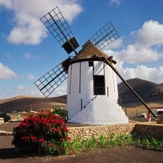
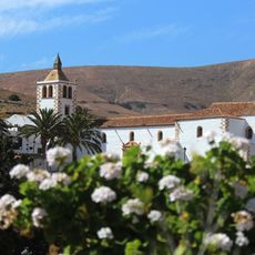
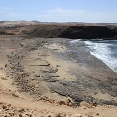
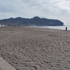
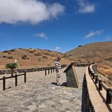
Pájara is a municipality located on the southwestern side of Fuerteventura island with diverse landscapes. The territory includes elevated terrain, valleys, and coastal zones that stretch from inland areas to beaches with white sand.

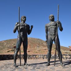
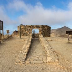
The territory was settled by Guanche people long before Spanish conquest arrived in the 15th century, as shown by archaeological finds. Traces of these early inhabitants remain visible in settlement remains scattered across the land.

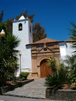
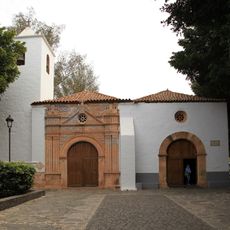
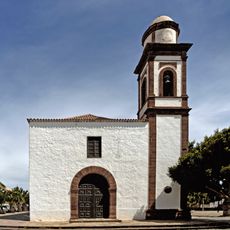
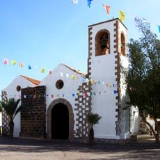
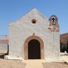
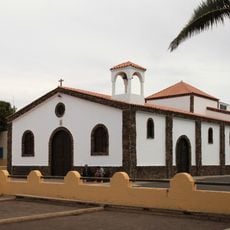
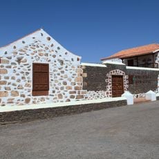
The Church of Nuestra Señora de Regla stands at the town center with carved decorations showing suns, snakes, and panthers on its façade that visitors can see today. These designs reflect connections to distant cultures and become visible as you walk around the main square.

The area is best reached through Fuerteventura Airport with regular bus services connecting the main towns throughout the municipality. Consider exploring the southern coastal regions and northern elevated areas during separate visits depending on your interests.

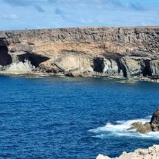
The Jandía area in the southernmost part holds one of the last breeding grounds for the Canarian Egyptian vulture, a rare and endangered bird. Protected natural zones there safeguard these valuable habitats and allow visitors to witness the island's natural diversity.

The community of curious travelers

AroundUs brings together thousands of curated places, local tips, and hidden gems, enriched daily by 60,000 contributors worldwide.

Start exploring
Location
Capital city
Pájara
Elevation above the sea
196 m
Part of
Mancomunidad de Municipios del Centro-Sur de Fuerteventura
Shares border with
Betancuria, Tuineje
Address
35628 Pájara, Las Palmas, Spain
Phone
GPS coordinates
28.35000,-14.10000
Latest update
December 6, 2025 16:03
Visit Fuerteventura: natural parks, wild beaches and historical sites

Fuerteventura, the second largest island in the Canary Islands, is characterized by its diverse landscapes and notable geological features. The island houses spectacular formations such as the white dunes of Corralejo Natural Park, extending over more than 10 kilometers, the 70-million-year-old Ajuy...

« Pájara - Municipality in Fuerteventura, Spain » is provided by Around Us (aroundus.com). Images and texts are derived from Wikimedia project under a Creative Commons license. You are allowed to copy, distribute, and modify copies of this page, under the conditions set by the license, as long as this note is clearly visible.

Discover hidden gems everywhere you go!

From secret cafés to breathtaking viewpoints, skip the crowded tourist spots and find places that match your style. Our app makes it easy with voice search, smart filtering, route optimization, and insider tips from travelers worldwide. Download now for the complete mobile experience.

Around Us App Screenshot

A unique approach to discovering new places

Le Figaro

All the places worth exploring

France Info

A tailor-made excursion in just a few clicks

20 Minutes

Around Us
Travel Guide & Maps
Download

Send to your phone

QR Code
1

Open the camera app on your mobile.

2

Point at the QR code with your camera. A notification will appear.

3

Tap the notification to open the link.