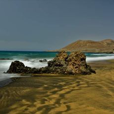
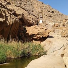
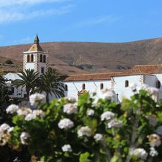
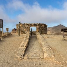
Ajuy Caves, Natural cave system in Ajuy, Spain
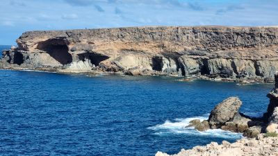
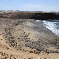
Ajuy Caves form a network of chambers carved into dark volcanic rock along Fuerteventura's western shore. The entries are remarkably tall, and the interconnected passages reveal how water and geology shaped these spaces over time.
In 1402, Jean de Bethencourt used this site as a landing point for his expedition during the conquest of the Canary Islands. This moment marked an early chapter in European expansion across the Atlantic.
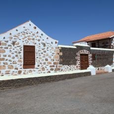
Fishermen and lime workers sheltered and stored their materials in these caves over many generations until the early 20th century. This daily use by locals made the site a working part of coastal life rather than just a natural landmark.
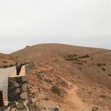
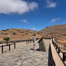
You can reach the caves by following a marked coastal path from Ajuy village, taking about 20 minutes on foot one way. Wear sturdy shoes and allow extra time to explore inside, as the ground is uneven throughout.
These caves hold some of the oldest rock formations in the Canary Islands, dating back well over 100 million years. This ancient geology makes them a remarkable place for anyone curious about how the islands were shaped.
The community of curious travelers
AroundUs brings together thousands of curated places, local tips, and hidden gems, enriched daily by 60,000 contributors worldwide.