
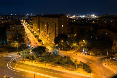
San Fermín, neighborhood in Madrid
Location: Usera
Shares border with: Orcasur, Entrevías, Los Rosales
GPS coordinates: 40.36890,-3.68415
Latest update: March 8, 2025 07:22
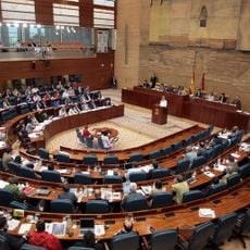
Assembly of Madrid
2.4 km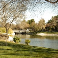
Enrique Tierno Galván Park
2.8 km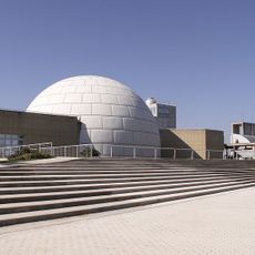
Madrid Planetarium
2.7 km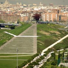
Manzanares Linear Park
1.5 km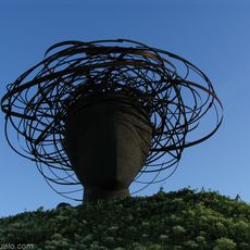
La Dama del Manzanares
1 km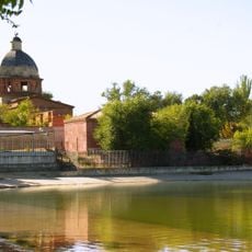
Parque de Pradolongo
2 km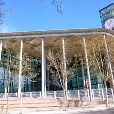
Seat of the Assembly of Madrid
2.4 km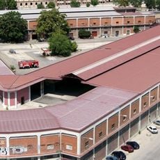
Mercado Central de Frutas y Verduras, Madrid
2.5 km
Real Canal de Manzanares
2.2 km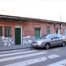
Peironcely 10, Madrid
1.9 km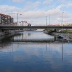
Puente de la Princesa, Madrid
2.5 km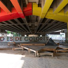
Puente de Colores
2.8 km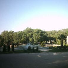
Parque de la Dehesa Boyal
2.6 km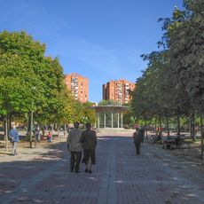
Ciudad de los Ángeles Park
1.9 km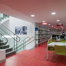
Biblioteca Pública Municipal Gabriel García Márquez
1.5 km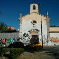
Iglesia parroquial de San Carlos Borromeo, Madrid
1.9 km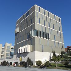
Biblioteca Pública José Hierro
2.7 km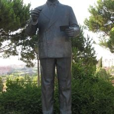
Monument to Enrique Tierno Galván, Madrid
2.8 km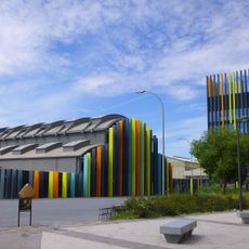
La Nave
2.6 km
Church of San Mateo, Madrid
1.6 km
Iglesia de Maris Stella, Madrid
1.8 km
Riverside Homes, Madrid
2.3 km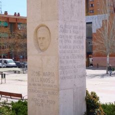
Monumento al Padre Llanos, Madrid
2.2 km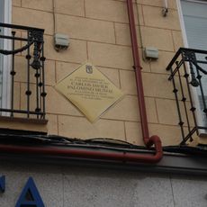
Commemorative plaque to Carlos Palomino
2.7 km
Conjunto de viviendas y locales para la Cooperativa Hesperia, Madrid
2.7 km
Torre de San José
2.8 km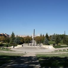
Auditorio del parque Enrique Tierno Galván
2.8 km
Tanatorio M-40, Madrid
639 mVisited this place? Tap the stars to rate it and share your experience / photos with the community! Try now! You can cancel it anytime.
Discover hidden gems everywhere you go!
From secret cafés to breathtaking viewpoints, skip the crowded tourist spots and find places that match your style. Our app makes it easy with voice search, smart filtering, route optimization, and insider tips from travelers worldwide. Download now for the complete mobile experience.

A unique approach to discovering new places❞
— Le Figaro
All the places worth exploring❞
— France Info
A tailor-made excursion in just a few clicks❞
— 20 Minutes