Cariñena, municipality of Spain
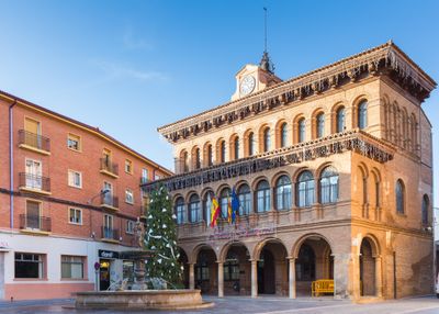
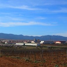
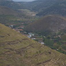
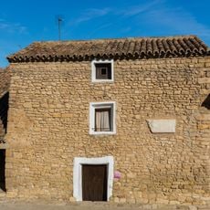
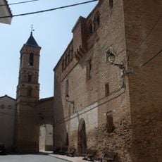
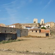
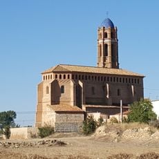
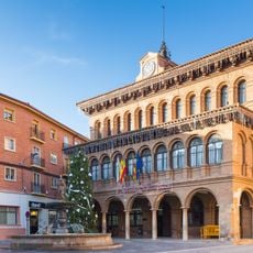
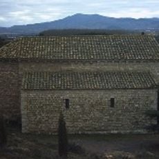
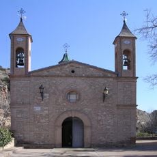
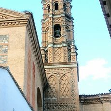
Cariñena is a small town in Zaragoza province, Aragon, Spain. It spreads across rolling hills covered with vineyards and features stone buildings and a simple layout centered on a main square where local life unfolds daily.
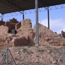
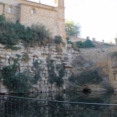
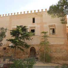
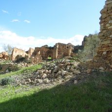
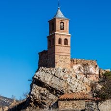
The Romans planted vineyards here and established wine production that has continued for many centuries. In medieval times the town was fortified for protection, though only remnants of those defensive walls remain visible today.
The name Cariñena comes from a Roman landowner named Carinius who owned property here in ancient times. Locals continue their wine-making traditions and gather regularly in the central square, where the rhythm of community life remains strong and visible to visitors.
The town is best reached via the N-330 highway heading south toward Zaragoza. Since it is a small and compact place, everything can be explored on foot, with small cafes and shops where visitors can experience local food and culture.
The town holds a protected designation of origin for its wine, meaning quality and methods have been preserved across generations. Small wineries open their doors to visitors to share centuries-old production techniques that remain largely unchanged.
The community of curious travelers
AroundUs brings together thousands of curated places, local tips, and hidden gems, enriched daily by 60,000 contributors worldwide.