
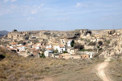
Terrer, municipality of Spain
Location: Zaragoza Province
Location: Comunidad de Calatayud
Location: Aragon
Capital city: Terrer (locality)
Elevation above the sea: 561 m
Website: http://www.ayuntamientodeterrer.com
Shares border with: Ateca, Calatayud, Valtorres, Paracuellos de Jiloca, La Vilueña, Munébrega
Website: http://ayuntamientodeterrer.com
GPS coordinates: 41.32667,-1.71222
Latest update: March 4, 2025 09:11
Castle of Alcocer
4.1 km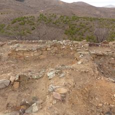
Torrecid
5.3 km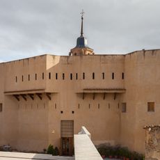
Castle of Ateca
6.8 km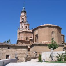
Santa María (Ateca)
6.8 km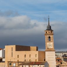
Clock Tower of Ateca
6.9 km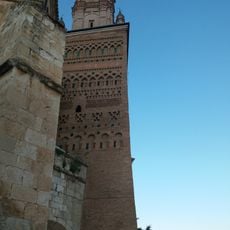
Tower of St Mary
6.8 km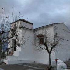
Hermitage of Saint Roch
5.7 km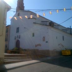
Church of San Francisco, Ateca
6.7 km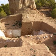
La Mora Encantada
4.1 km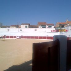
Bullring of Ateca
6.7 km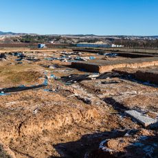
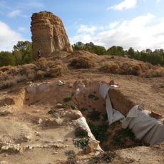
Archaeological site of Valdeherrera
3.9 km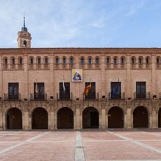
Town Hall of Ateca
6.7 km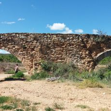
Canal del Val
8.1 km
Casa de los Cejador
6.7 km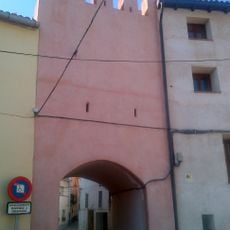
St. Michael's Gate, Ateca
6.7 km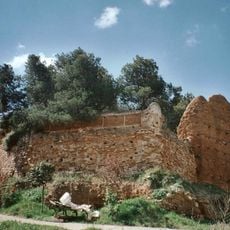
Castle of La Vilueña
6.1 km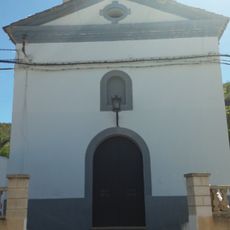
Hermitage of San Blas
6.2 km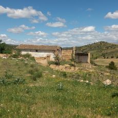
Hermitage of Saint Roch
7.4 km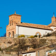
Ermita de Nuestra Señora del Cerro
8.4 km
Wayside cross of Saint Vicente el Bajo
5.9 km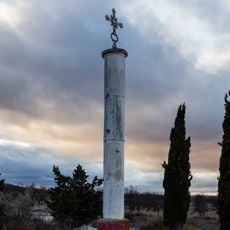
Wayside cross of the Cross Pillar, Calatayud
4.3 km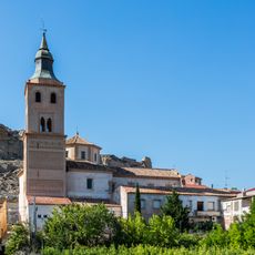
Church of the Assumption of Our Lady
300 m
Meson
6.9 km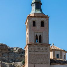
Tower of the church of the Assumption, Terrer
305 m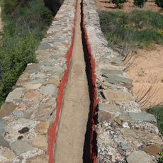
Acequia Carraviega
8.1 km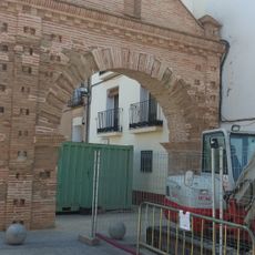
Puerta de Ariza
6.8 km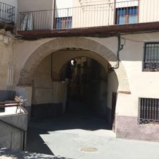
Puerta de las Fraguas
6.7 km
Building in Areal Alto 13
6.8 kmReviews
Visited this place? Tap the stars to rate it and share your experience / photos with the community! Try now! You can cancel it anytime.
Discover hidden gems everywhere you go!
From secret cafés to breathtaking viewpoints, skip the crowded tourist spots and find places that match your style. Our app makes it easy with voice search, smart filtering, route optimization, and insider tips from travelers worldwide. Download now for the complete mobile experience.

A unique approach to discovering new places❞
— Le Figaro
All the places worth exploring❞
— France Info
A tailor-made excursion in just a few clicks❞
— 20 Minutes