Minas de Riotinto, Mining municipality in Huelva Province, Spain.
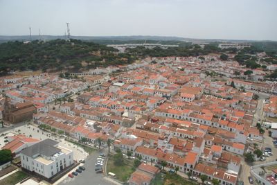
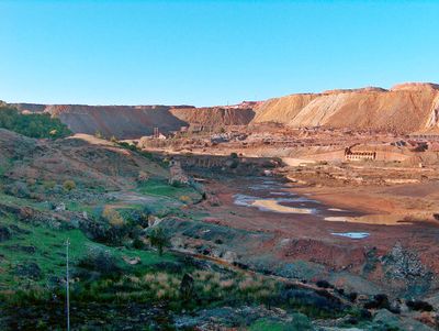
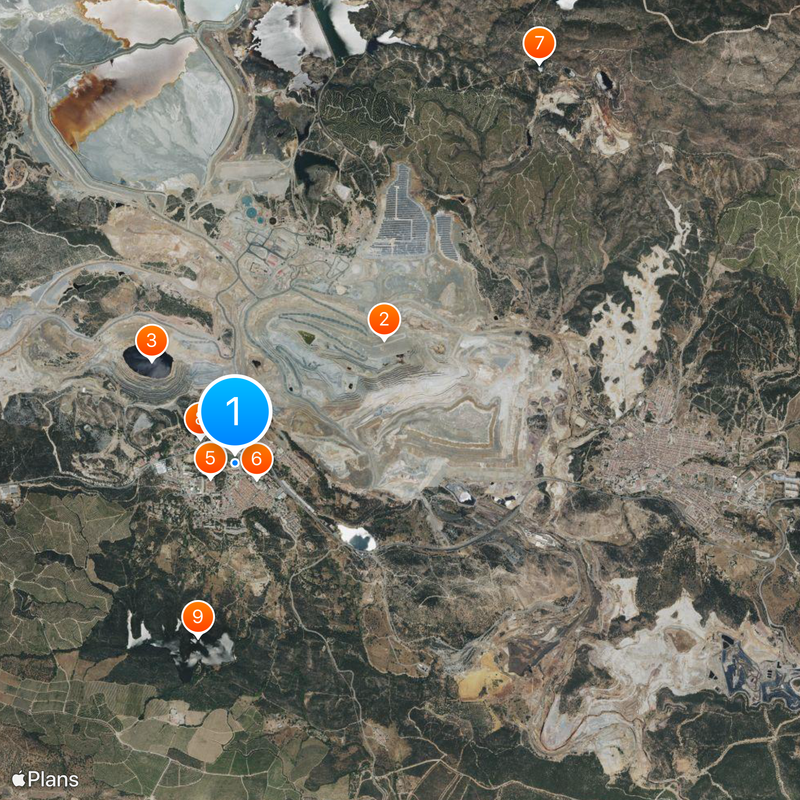
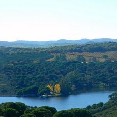
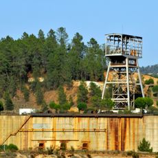
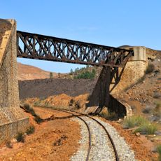
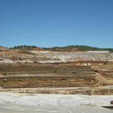
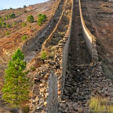
Minas de Riotinto is a mining municipality in Huelva Province, Andalusia, spread across a hilly landscape shaped by centuries of extraction activity. The terrain shows dramatic changes in elevation with deep excavations, reddish earth, and scattered settlements that reflect how the community adapted to working around the mines.
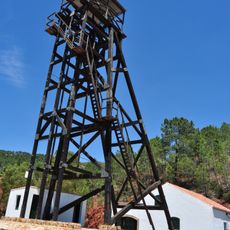
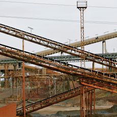
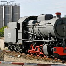
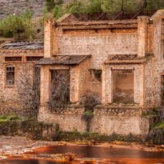
Mining in the area started in ancient times when Phoenician and Roman workers extracted minerals from these hills for thousands of years. Modern-day development accelerated in the 1800s when British companies took control of operations and transformed the settlement into an industrial hub.
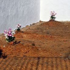
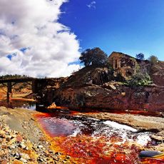
The town's name comes from the river that runs red with iron oxide from centuries of mining activity. Today, visitors can see how this industrial past shapes the local identity and the way people relate to the landscape around them.
The terrain is uneven and hilly, so wear sturdy shoes and come prepared for walking on sloped ground. Visit in the early morning or late afternoon when the sun is less intense, as the open landscape offers little shade and the heat can be strong, especially in summer.
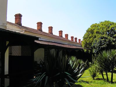
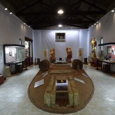
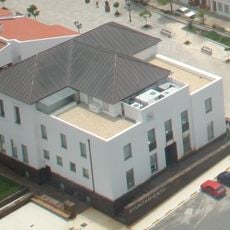
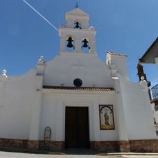
The Bella Vista district preserves Victorian-style houses built by British mining engineers in the late 1800s, creating an unusual pocket of foreign architecture within a Spanish town. Walking through these streets reveals how international companies left their mark on the local landscape, with British design choices still visible in doors, windows, and building layouts.
The community of curious travelers
AroundUs brings together thousands of curated places, local tips, and hidden gems, enriched daily by 60,000 contributors worldwide.