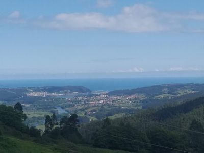
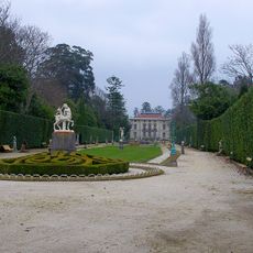
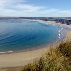
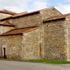
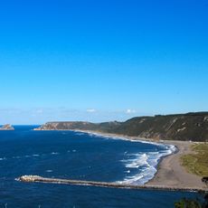
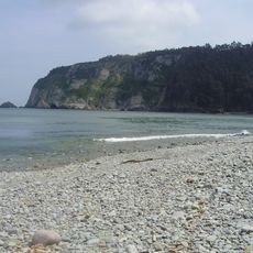
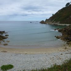
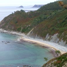
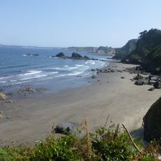
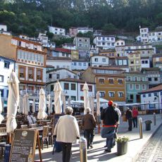
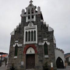
Ranón, parish of Spain
Location: Soto del Barco
Elevation above the sea: 116 m
Shares border with: Soto del Barco, Santiago del Monte, San Esteban, Bayas
GPS coordinates: 43.55500,-6.06439
Latest update: March 16, 2025 07:29
La Quinta (Cudillero)
6 km
Salinas Beach
8.6 km
Church of San Juan Apóstol y Evangelista
6.5 km
Beach of Los Quebrantos
1.1 km
Cave of Candamo
8 km
Playa de La Concha
9.8 km
Estadio Román Suárez Puerta
10.8 km
Philippe Cousteau Anchor Museum
8.3 km
Faro de Avilés
10.6 km
Playa de Arnao
7.1 km
Campofrío and Aguilar Beaches
4.6 km
Faro de Cudillero
6.6 km
Church of Santa María la Mayor, Pravia
8.3 km
Iglesia de San Cipriano
7.5 km
Playa de El Cuerno
8.2 km
Iglesia de San Martín de Laspra
7.7 km
Headframe of the mine of Arnao
7 km
Pinar de Salinas
9.8 km
San Esteban de Pravia Lighthouse
2 km
Conjunto Histórico de la Villa de Pravia
8.4 km
Playa de Xilo
3.7 km
Playa de Munielles
5 km
Eleonore
6.9 km
Playas de Xan-Xún y Las Llanas
3.3 km
Centro de Interpretación del Cementerio de La Carriona
10.3 km
Beach of El Cordial / El Reguero
4.9 km
Conjunto histórico de Cudillero
6.6 km
Iglesia de San Juan
918 mReviews
Visited this place? Tap the stars to rate it and share your experience / photos with the community! Try now! You can cancel it anytime.
Discover hidden gems everywhere you go!
From secret cafés to breathtaking viewpoints, skip the crowded tourist spots and find places that match your style. Our app makes it easy with voice search, smart filtering, route optimization, and insider tips from travelers worldwide. Download now for the complete mobile experience.
A unique approach to discovering new places❞
— Le Figaro
All the places worth exploring❞
— France Info
A tailor-made excursion in just a few clicks❞
— 20 Minutes