
Ajofrín, municipality of Spain
Location: Toledo Province
Capital city: Ajofrín
Elevation above the sea: 770 m
Part of: Mancomunitat d'Aigües del Río Algodor espanyol
Shares border with: Burguillos de Toledo, Chueca, Layos, Mazarambroz, Nambroca, Orgaz, Sonseca
GPS coordinates: 39.71250,-3.98194
Latest update: March 27, 2025 18:23

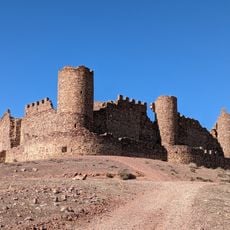
Castle of Almonacid
11.8 km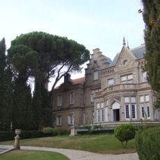
Palacio de El Castañar
12 km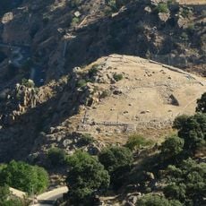
Cerro del Bu
16 km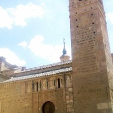
Church of San Andrés, Toledo
16.2 km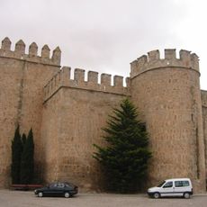
Castle of Orgaz
11.5 km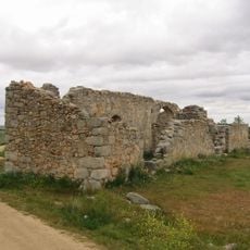
San Pedro de la Mata
11 km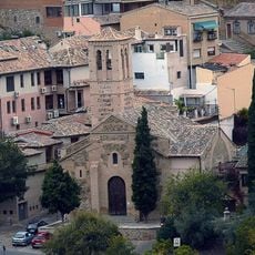
San Sebastián, Toledo
16.1 km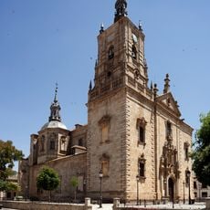
Church of Santo Tomás Apóstol
11.7 km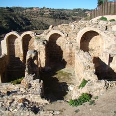
Baños de Tenerías
16.1 km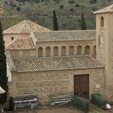
Mozarabic Church of Saint Luke, Toledo, Spain
16.1 km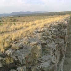
Alcantarilla Dam
8.7 km
Centro Sismológico de Sonseca
4.4 km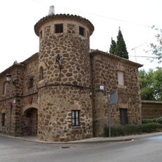
Palacio de los Condes de Mora
10 km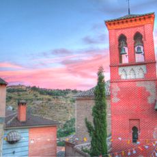
San Cipriano, Toledo
16.2 km
Casa Grande
143 m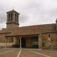
Church of Casalgordo
8 km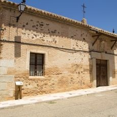
Hospital García Escalona
11.8 km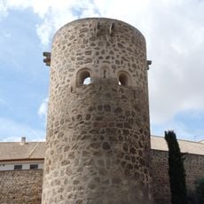
Murallas de la Torre de Hierro
16 km
Atalaya de las Nieves
15.7 km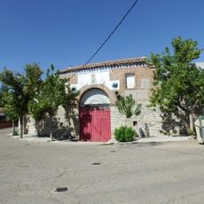
Bullring of Sonseca
4.5 km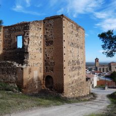
Iglesia múdejar, Almonacid de Toledo
11.8 km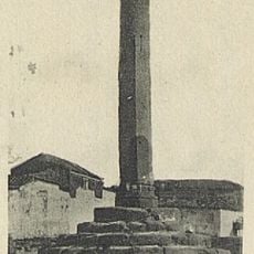
Rollo de Ajofrín
551 m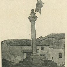
Rollo de justicia de Mazarambroz
3.7 km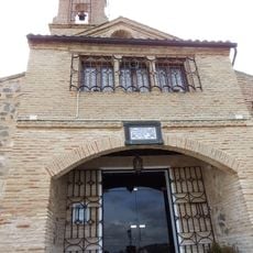
Ermita de Nuestra Señora del Valle, Toledo
15.8 km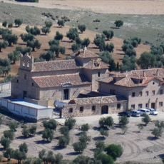
Ermita de la Virgen de la Oliva, Almonacid de Toledo
9.4 km
Casa del Diamantista, Toledo
16 km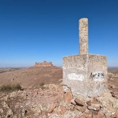
Cerro del Buen Vecino
11.6 km
Guajaraz Reservoir
12.5 kmVisited this place? Tap the stars to rate it and share your experience / photos with the community! Try now! You can cancel it anytime.
Discover hidden gems everywhere you go!
From secret cafés to breathtaking viewpoints, skip the crowded tourist spots and find places that match your style. Our app makes it easy with voice search, smart filtering, route optimization, and insider tips from travelers worldwide. Download now for the complete mobile experience.

A unique approach to discovering new places❞
— Le Figaro
All the places worth exploring❞
— France Info
A tailor-made excursion in just a few clicks❞
— 20 Minutes