Timanfaya National Park, National park in Lanzarote, Spain.
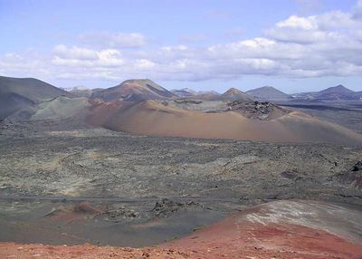
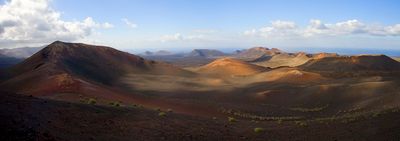
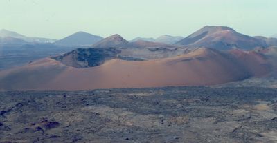
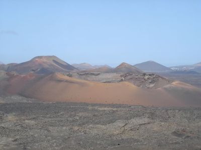
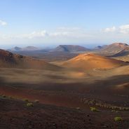
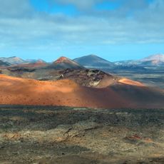
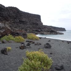
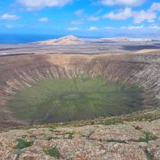
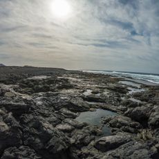
Timanfaya is a national park in southwestern Lanzarote with black lava rock, reddish hills, and 25 cooled craters. The landscape covers an area without vegetation, where wind and sun shape the relief.
Volcanic eruptions began in 1730 and lasted six years, burying one-quarter of the island beneath lava. Nine villages disappeared under the rock, and residents fled to safer areas.
Farmers spread volcanic gravel over their fields to trap moisture from the air and grow vegetables without rain. This method uses the porous properties of lava and has proven effective over generations.
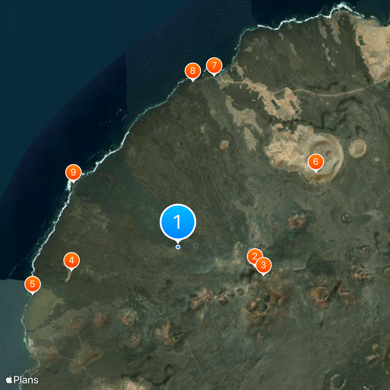
Visitors travel by guided bus through the protected zone and stop at viewpoints overlooking craters and lava fields. Demonstrations show how dry straw catches fire from the heat of the ground.
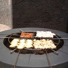
In certain spots, you cannot hold your hand a few centimeters above the ground because the surface is so hot. At a depth of 13 meters (43 feet), the temperature rises to 600 degrees Celsius (1112 degrees Fahrenheit) and boils water in seconds.
The community of curious travelers
AroundUs brings together thousands of curated places, local tips, and hidden gems, enriched daily by 60,000 contributors worldwide.