
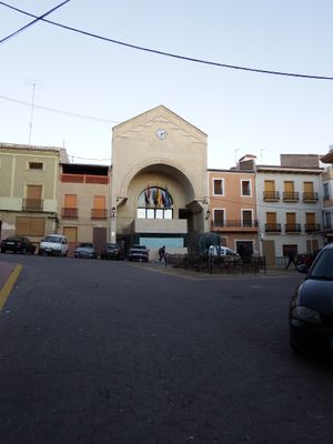
Ontur, municipality of Spain
Location: Albacete Province
Capital city: Ontur
Elevation above the sea: 655 m
Part of: Mancomunitat «Grupo Fao, Recogida de Residuos Sólidos»
Shares border with: Albatana, Tobarra, Fuente-Álamo, Jumilla
GPS coordinates: 38.61483,-1.49778
Latest update: March 20, 2025 17:17
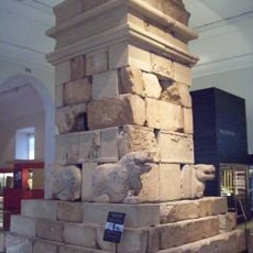
Tomb of Pozo Moro
30.1 km
Cerro de los Santos
23.8 km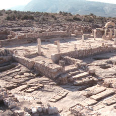
Tolmo de Minateda
18.1 km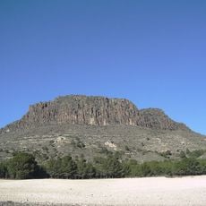
Pitón Volcánico de Cancarix
23.6 km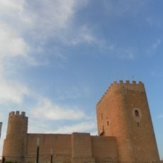
Castillo de Jumilla
20.8 km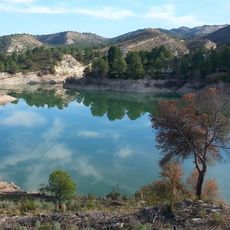
Camarillas Reservoir
30.4 km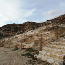
Hisn Yakka
32.7 km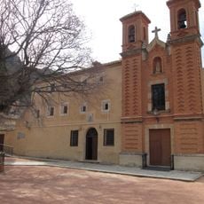
Monasterio de Santa Ana del Monte
21.4 km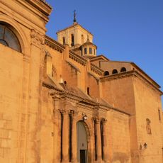
Church of Santiago
21 km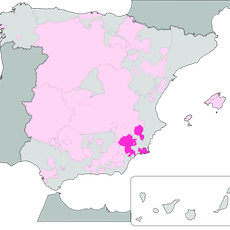
Murcia (Vino de la Tierra)
21.9 km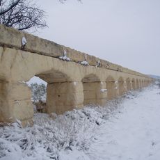
Aqueduct of Albatana
5.5 km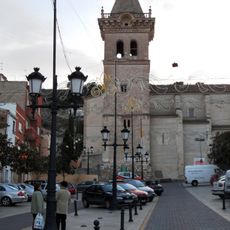
Iglesia de la Asunción (Yecla)
33.1 km
Bullring of Hellín
20.8 km
Santuario de Nuestra Señora del Rosario
21.3 km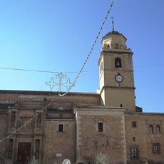
Church of la Asunción
21.2 km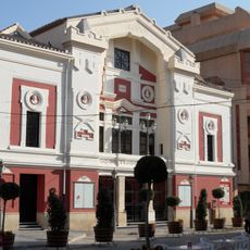
Teatro Vico
21.6 km
Sanctuary of Santísimo Cristo de la Antigua y Virgen de la Encarnación
17.5 km
Ermita de San Rafael, Hellín
21.1 km
Church of Nuestra Señora de la Asunción
17.3 km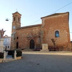
Church of Saint Michael
24.7 km
Wine Museum
22.2 km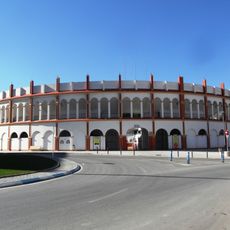
Plaza de toros de Yecla
32.1 km
Granary of Bonete
31.6 km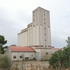
Silo of Villar de Chinchilla
32.6 km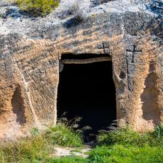
Eremitorio de Alborajico, Tobarra
11.9 km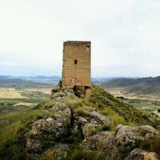
Torre de Castellar de Sierra
14.4 km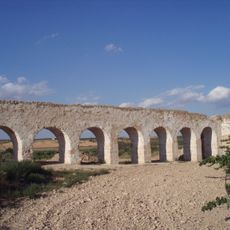
Arcos del Molino
22.9 km
Ciudad de Hellín
21.1 kmReviews
Visited this place? Tap the stars to rate it and share your experience / photos with the community! Try now! You can cancel it anytime.
Discover hidden gems everywhere you go!
From secret cafés to breathtaking viewpoints, skip the crowded tourist spots and find places that match your style. Our app makes it easy with voice search, smart filtering, route optimization, and insider tips from travelers worldwide. Download now for the complete mobile experience.

A unique approach to discovering new places❞
— Le Figaro
All the places worth exploring❞
— France Info
A tailor-made excursion in just a few clicks❞
— 20 Minutes