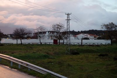
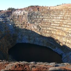
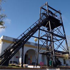
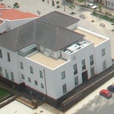
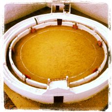
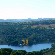
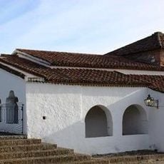
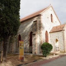
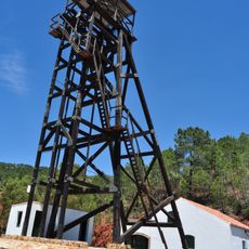
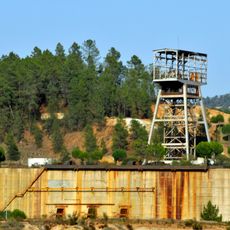
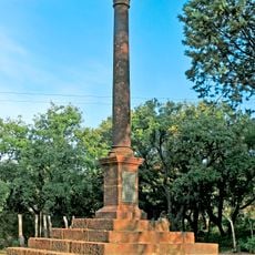
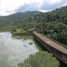
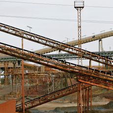
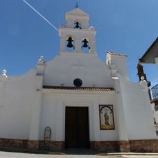
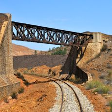
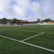
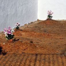
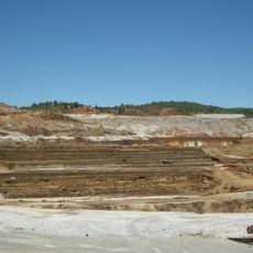
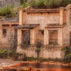
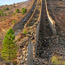
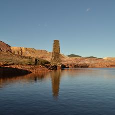
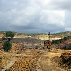
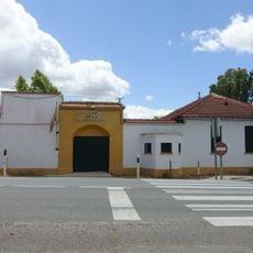
Campofrío, municipality of Spain
Location: Province of Huelva
Capital city: Campofrío
Elevation above the sea: 523 m
Part of: districte notarial d'Aracena, Mancomunitat Cuenca Minera, Mancomunitat de Serveis de la Provincia de Huelva, Cuenca Minera
Shares border with: Aracena, La Granada de Río-Tinto, Nerva, El Campillo
GPS coordinates: 37.76556,-6.57670
Latest update: March 2, 2025 22:48
Riotinto-Nerva mining basin
6.7 km
Corta Atalaya
7.3 km
Riotinto Mining Museum
8.2 km
Casa consistorial de Minas de Riotinto
8.1 km
Plaza de toros de Campofrío
248 m
Casa 21
7.9 km
Embalse de Zumajo
9.7 km
Ermita de Santa Eulalia
9.4 km
Capilla presbiteriana
7.8 km
Malacate del Pozo Maestro de Peña del Hierro
4.9 km
Pozo Rotilio
7.5 km
Cemetery of Rio Tinto Mines
7.6 km
Embalse de Campofrío
1.8 km
Museo Vázquez Díaz
8.2 km
Unidad industrial Cerro Colorado
5.9 km
Rio Tinto 201
7.6 km
Iglesia de San Bartolomé
8.2 km
Puente de Chapa
8.5 km
Puente Gurugú
9.4 km
Campo de Fútbol
8 km
Cemetery of Nerva
7.2 km
Canaleos de la Cementación Naya
10.2 km
Túnel del piso 11
7.9 km
Chimeneas de la fundición de piritas
9.1 km
Chimenea de fundición de Corral Cerda
8.1 km
Colegio Virgen del Rosario
8.1 km
Riotinto mining landscape
8.2 km
Cuartel de la Guardía Civil de El Valle
7.9 kmReviews
Visited this place? Tap the stars to rate it and share your experience / photos with the community! Try now! You can cancel it anytime.
Discover hidden gems everywhere you go!
From secret cafés to breathtaking viewpoints, skip the crowded tourist spots and find places that match your style. Our app makes it easy with voice search, smart filtering, route optimization, and insider tips from travelers worldwide. Download now for the complete mobile experience.
A unique approach to discovering new places❞
— Le Figaro
All the places worth exploring❞
— France Info
A tailor-made excursion in just a few clicks❞
— 20 Minutes