
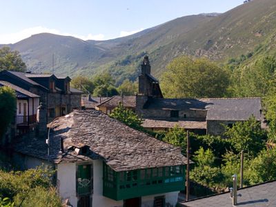
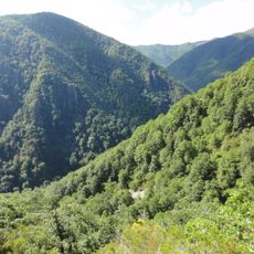
Candín, municipality of Spain
Location: León Province
Capital city: Candín
Elevation above the sea: 907 m
Part of: Mancomunitat de Municipis del Cúa
Shares border with: Peranzanes, Fabero, Vega de Espinareda, Cervantes, Navia de Suarna, Ibias
GPS coordinates: 42.81667,-6.72806
Latest update: March 7, 2025 23:11
Muniellos
24.7 km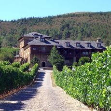
Canedo Palace
19.2 km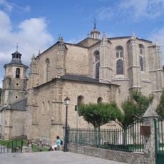
Collegiate of Santa María de Cluniaco, Villafranca del Bierzo
24 km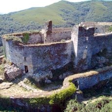
Castillo de Sarracín
25.2 km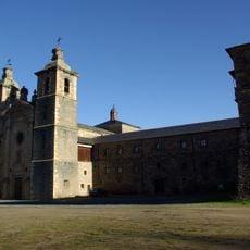
Saint Andrew Monastery, Vega de Espinareda
11.8 km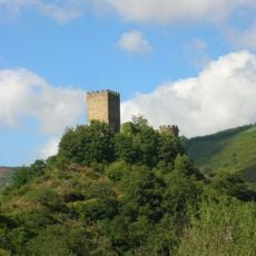
Castelo de Doiras
21.3 km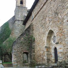
Convento de San Francisco
24.4 km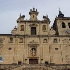
Iglesia de San Nicolás (Villafranca del Bierzo)
24.2 km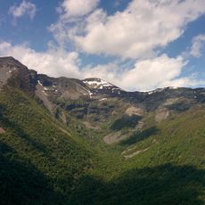
Pico Cuiña
9.1 km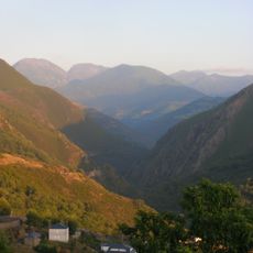
Reserva de la biosfera de Os Ancares Lucenses y Montes de Cervantes, Navia y Becerreá
22.4 km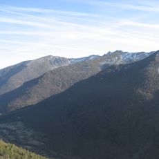
Ancares Leoneses Biosphere Reserve
13.3 km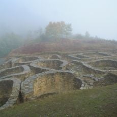
Castro de Santa María de Cervantes
26.2 km
Palace of Tormaleo
13.7 km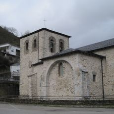
Iglesia de Santa Marina
20.1 km
Church of Santa María (Cerredo)
24.2 km
Castelo de Navia
28 km
Iglesia de Santa María
11.5 km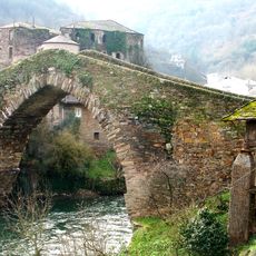
Castle of Navia
28 km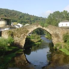
Bridge of A Proba de Navia
28 km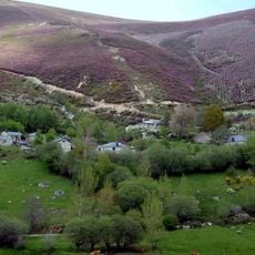
Campo del Agua
9.1 km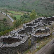
Hill fort of Chano
9 km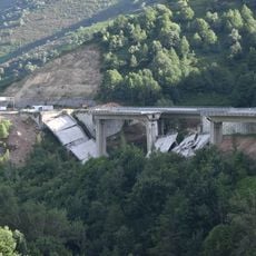
Viaducto del Castro
25.7 km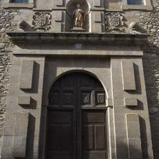
Convento de San José
24.3 km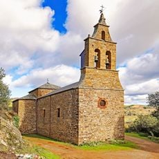
Iglesia de San Justo
20.1 km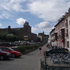
Conjunto histórico de la zona antigua de Villafranca del Bierzo
24.2 km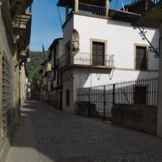
Palacio de Torquemada
24.3 km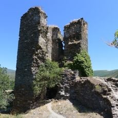
Castle of Balboa
20.2 km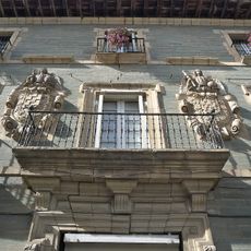
Palacio de los Marqueses de Villafranca
24.3 kmVisited this place? Tap the stars to rate it and share your experience / photos with the community! Try now! You can cancel it anytime.
Discover hidden gems everywhere you go!
From secret cafés to breathtaking viewpoints, skip the crowded tourist spots and find places that match your style. Our app makes it easy with voice search, smart filtering, route optimization, and insider tips from travelers worldwide. Download now for the complete mobile experience.

A unique approach to discovering new places❞
— Le Figaro
All the places worth exploring❞
— France Info
A tailor-made excursion in just a few clicks❞
— 20 Minutes