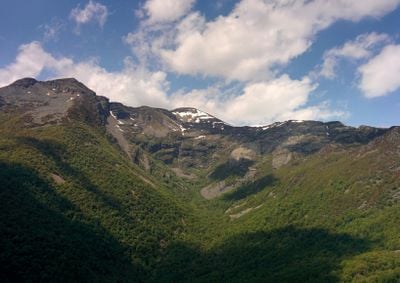
Pico Cuiña, Mountain summit in Sierra de Ancares, Spain
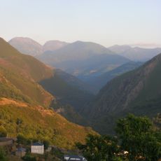
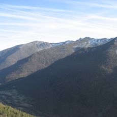
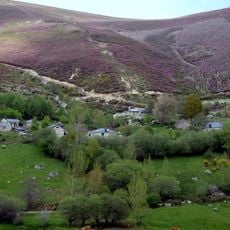
Pico Cuiña is the highest summit of the Sierra de Ancares range in northwestern Spain, rising to about 2,000 meters. The massif features green slopes and meadows with traditional mountain paths connecting several peaks and valleys.
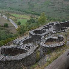
The mountain has marked the natural border between the provinces of León and Lugo since medieval times, shaping regional territories. This boundary position made it an important reference point for herders and travelers across centuries.
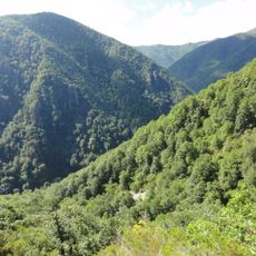
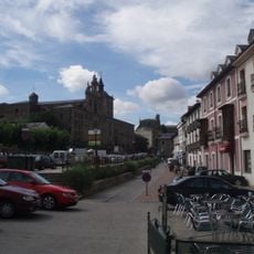
The villages around the Sierra de Ancares keep alive old herding traditions and mountain paths that have been used for centuries. You can see this heritage in how local people still graze animals seasonally and maintain the stone walls and trails across the slopes.
The hike starts at the Puerto de Ancares parking area and follows marked trails that take about two hours to reach the top. Wear sturdy boots and bring weather protection, as conditions can change quickly at this elevation.
Hidden on the eastern side sits Pozo Ferreira, a glacial lake that reflects the surrounding peaks on clear days. This quiet water is a surprising discovery for hikers exploring the area.
The community of curious travelers
AroundUs brings together thousands of curated places, local tips, and hidden gems, enriched daily by 60,000 contributors worldwide.