
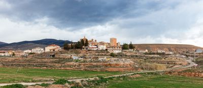
Torralba de Ribota, municipality in the province of Zaragoza, Spain
Location: Zaragoza Province
Capital city: Torralba de Ribota
Elevation above the sea: 625 m
Shares border with: Sestrica, Calatayud, Cervera de la Cañada, Aniñón
GPS coordinates: 41.41667,-1.68583
Latest update: March 11, 2025 12:41

Augusta Bilbilis
8 km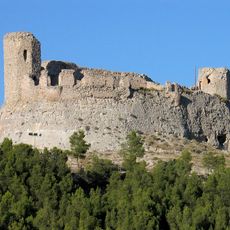
Castillo Mayor
7.3 km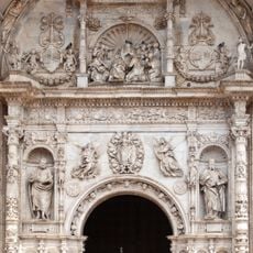
Collegiate church of Santa María
7.8 km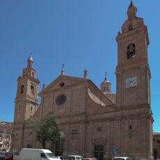
Real Basílica-Colegiata del Santo Sepulcro
7.8 km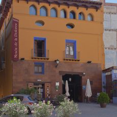
Mesón de la Dolores
7.9 km
Recinto amurallado de Calatayud
7.2 km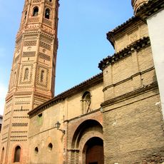
San Andrés, Calatayud
7.7 km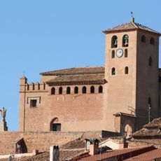
Church of St. Tecla
4.5 km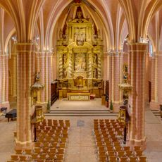
Church of San Pedro de los Francos
7.9 km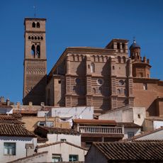
Iglesia de Nuestra Señora del Castillo (Aniñón)
3.4 km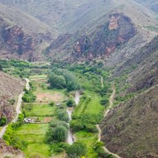
Hoces del río Jalón
6.7 km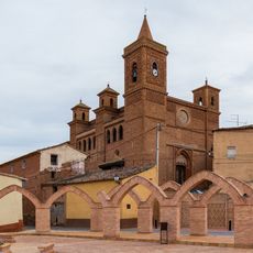
Church of Saint Felix
237 m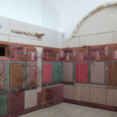
Calatayud Museum
7.8 km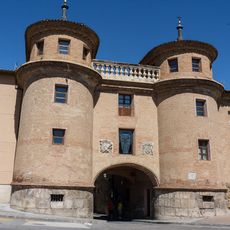
Gate of Terrer
7.8 km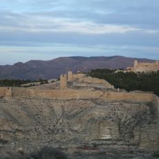
Torre Mocha
7.3 km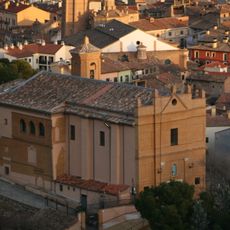
Santuario de la Virgen de la Peña, Calatayud
7.6 km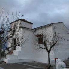
Hermitage of Saint Roch
7.5 km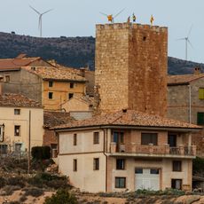
Torre Alba
232 m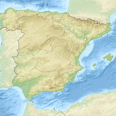
Armantes
4.9 km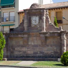
Fountain of the Eight Pipes
7.8 km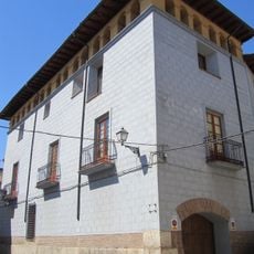
Palacio de Erlueta
7.7 km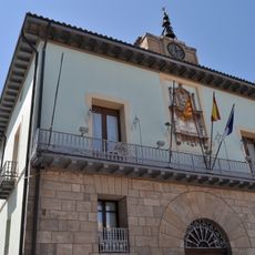
Old town hall of Calatayud
7.8 km
Wayside cross of Saint Vicente el Bajo
7.6 km
Wayside cross of Mojón, Calatayud
2.1 km
Wayside cross of Saint Vicente el Alto
7.6 km
Convent of Carmelites
7.8 km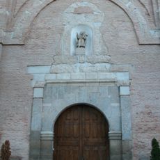
Church of St. Albert
7.8 km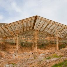
Ancient Roman thermae of Bilbilis
7.8 kmReviews
Visited this place? Tap the stars to rate it and share your experience / photos with the community! Try now! You can cancel it anytime.
Discover hidden gems everywhere you go!
From secret cafés to breathtaking viewpoints, skip the crowded tourist spots and find places that match your style. Our app makes it easy with voice search, smart filtering, route optimization, and insider tips from travelers worldwide. Download now for the complete mobile experience.

A unique approach to discovering new places❞
— Le Figaro
All the places worth exploring❞
— France Info
A tailor-made excursion in just a few clicks❞
— 20 Minutes