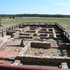
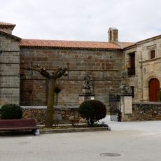
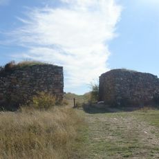
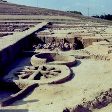
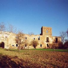
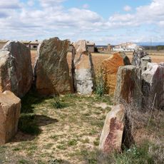
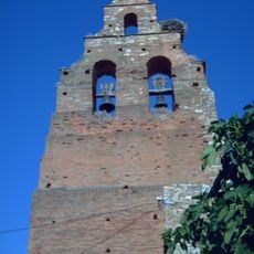
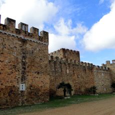
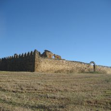
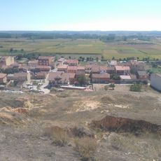
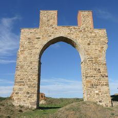
Santibáñez de Vidriales, municipality of Zamora Province, Spain
Location: Zamora Province
Capital city: Santibáñez de Vidriales
Elevation above the sea: 742 m
Part of: Mancomunitat Valle del Tera
Website: http://santibañezdevidriales.gob.es/es
GPS coordinates: 42.07174,-6.01464
Latest update: April 1, 2025 22:16
Petavonium
2.4 km
Church of Santa Marta de Tera
9.3 km
Monastery of Santa María de Nogales
11.5 km
Castro de las Labradas
9.7 km
Nuestra Señora del Agavanzal Dam
15.1 km
Villa tardorromana de Camarzana de Tera
8.6 kmVilla romana de Orpheus
8.6 km
Iglesia de Santiago Apóstol
11 km
Dolmen de San Adrián
8.1 km
Castillo de Villanueva de Jamuz
22.1 km
Convento de Nuestra Señora del Valle
24.6 km
Vafer Cafe, Whiskey Museum
23.4 km
Archaeological site of la Corona-el Pesadero
22.7 km
Monastery of Santa María de Nogales
11.9 km
Casetón de los Moros
10.3 km
Dolmen de las Peñezuelas
7.3 km
Iglesia parroquial de San Román del Valle
24.3 km
Playa Fluvial
16 km
Castillo de Alija del Infantado
17.1 km
Castle of Granucillo
7.9 km
Yacimiento de El Castro, Camarzana de Tera
8.5 km
Castillo de Castrocalbón
14.5 km
Sierra Verdenosa
16.9 km
Ayoó de Vidriales.. Torreón...
7.6 km
Castillo de Quintana del Marco
20.4 km
Granary of Santibáñez de Vidriales
313 m
Mestajas
22.6 km
Playa Fluvial La Rasera
26 kmVisited this place? Tap the stars to rate it and share your experience / photos with the community! Try now! You can cancel it anytime.
Discover hidden gems everywhere you go!
From secret cafés to breathtaking viewpoints, skip the crowded tourist spots and find places that match your style. Our app makes it easy with voice search, smart filtering, route optimization, and insider tips from travelers worldwide. Download now for the complete mobile experience.
A unique approach to discovering new places❞
— Le Figaro
All the places worth exploring❞
— France Info
A tailor-made excursion in just a few clicks❞
— 20 Minutes