Enable Location

We need your location to show you interesting places around you

Discover nearby places

Find interesting locations and hidden gems around you

Precise directions

Get accurate directions and distances to places

Your location is never shared with other users. It's only used when you tap the location button.

Vía de la Plata

Log in to your account

Start exploring — it's free

Trusted by 62,249 travelers worldwide

Continue with Google
Continue with Apple
or

We will send you a code to connect

By continuing, you accept our Terms and Conditions and our Privacy Policy

Check your inbox

We've sent a pincode in your inbox. Please enter the code below.

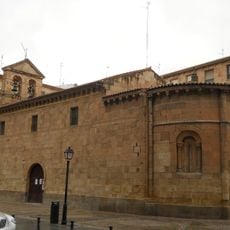
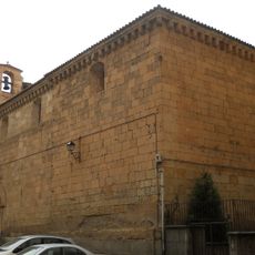
Vía de la Plata, Roman road between the Spanish provinces of León, Zamora, Salamanca, Cáceres and Badajoz, Spain.

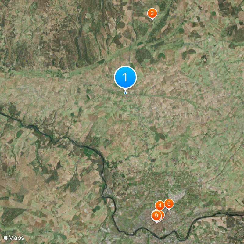
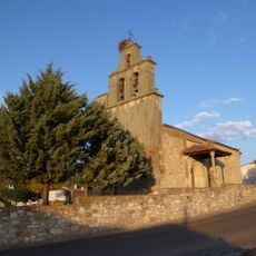
The Vía de la Plata is an ancient Roman road that stretches roughly 800 kilometers (500 miles) from Mérida to Astorga through the western part of the Iberian Peninsula. The route crosses five provinces and connects numerous historic towns and archaeological sites along the way.

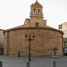
Roman engineers built this connection in the first century to ease troop movements and link strategic settlements together. During the Middle Ages, the route evolved into an important pilgrimage path toward Santiago de Compostela.

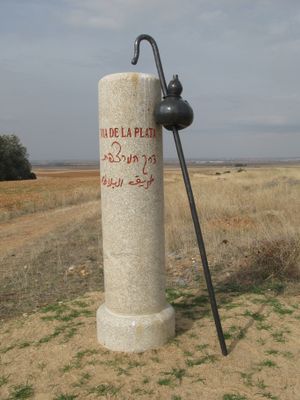
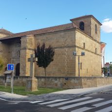
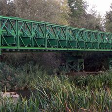
The name does not derive from silver but probably from the Arabic word for paved road, referring to the well-preserved Roman stone sections. Pilgrims today still cross several original Roman bridges as they walk through small villages and open fields.

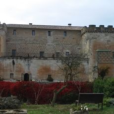
Travelers can explore the route on foot or by bicycle, with numerous accommodations and rest stops available at regular intervals. The flatter southern sections suit beginners well, while the northern parts become hillier.

Milestones from the second and third centuries still stand along the path and mark distances between ancient stations. Some sections show to this day the deep grooves that Roman cart wheels carved into the stone.

The community of curious travelers

AroundUs brings together thousands of curated places, local tips, and hidden gems, enriched daily by 60,000 contributors worldwide.

Start exploring
Location
Location
GPS coordinates
41.08808,-5.70358
Latest update
December 14, 2025 18:21
« Vía de la Plata - Roman road between the Spanish provinces of León, Zamora, Salamanca, Cáceres and Badajoz, Spain » is provided by Around Us (aroundus.com). Images and texts are derived from Wikimedia project under a Creative Commons license. You are allowed to copy, distribute, and modify copies of this page, under the conditions set by the license, as long as this note is clearly visible.

Discover hidden gems everywhere you go!

From secret cafés to breathtaking viewpoints, skip the crowded tourist spots and find places that match your style. Our app makes it easy with voice search, smart filtering, route optimization, and insider tips from travelers worldwide. Download now for the complete mobile experience.

Around Us App Screenshot

A unique approach to discovering new places

Le Figaro

All the places worth exploring

France Info

A tailor-made excursion in just a few clicks

20 Minutes

Around Us
Travel Guide & Maps
Download

Send to your phone

QR Code
1

Open the camera app on your mobile.

2

Point at the QR code with your camera. A notification will appear.

3

Tap the notification to open the link.