Chest opened
+${chestReward.xp} XP
Explorer
NOUVEAU ×${chestReward.collectible.quantity}
tapez pour fermer
Chest locked

Open chests in the app

Around Us is built for your phone — chests unlock when you walk, explore and capture nearby places.

Enable Location

We need your location to show you interesting places around you

Discover nearby places

Find interesting locations and hidden gems around you

Precise directions

Get accurate directions and distances to places

Your location is never shared with other users. It's only used when you tap the location button.

Santa María de la Alameda

Log in to your account

Start exploring — it's free

Trusted by 73,052 travelers worldwide

Continue with Google
Continue with Apple
or

We will send you a code to connect

By continuing, you accept our Terms and Conditions and our Privacy Policy

Check your inbox

We've sent a pincode in your inbox. Please enter the code below.

Santa María de la Alameda
Discussion Reviews 1 Photos
14k Popularity

Santa María de la Alameda, Municipal administrative division in Madrid Region, Spain

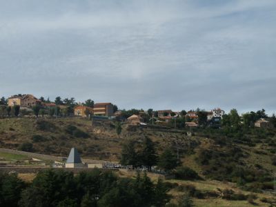
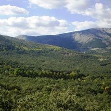
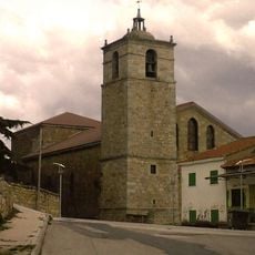
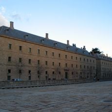
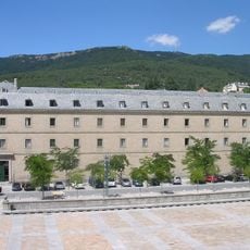
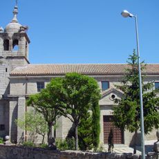
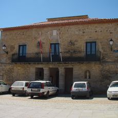
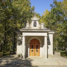
Santa María de la Alameda is a municipality in Madrid Region comprising several distinct settlements spread across varied terrain. The area includes different neighborhoods and villages that developed separately over time, each with its own local character.

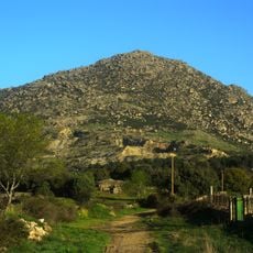
The area grew from scattered cattle-herding villages that gradually developed into separate communities like Las Herreras, El Pimpollar, and La Hoya. These settlements, bound by shared pastoral traditions, eventually formed a single administrative unit.

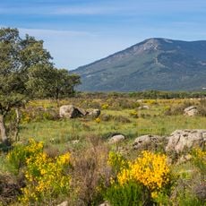
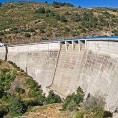
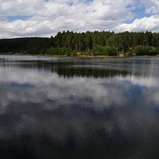
The municipality maintains traditional agricultural practices through its exclave of Dehesa de la Cepeda, a designated pasture area between Ávila and Segovia provinces.

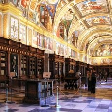
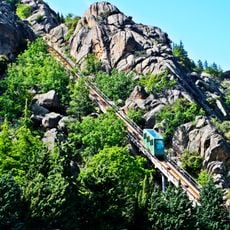
Train connections link the municipality with Madrid and El Escorial, offering access from the wider region. Local information points help visitors navigate the different villages and understand what each area offers.

The municipality holds a separate territory that extends into neighboring Castile and León, now serving as grazing land for local livestock. This unusual geographic division reflects how historical boundaries adapted to fit the needs of the pastoral communities that once lived there.

The community of curious travelers

AroundUs brings together thousands of curated places, local tips, and hidden gems, enriched daily by 60,000 contributors worldwide.

Start exploring
GPS coordinates
40.59582,-4.25792
Latest update
December 7, 2025 20:24
Reviews
Share your experience

No review yet

Discussions
Start a discussion...

No discussion yet

« Santa María de la Alameda - Municipal administrative division in Madrid Region, Spain » is provided by Around Us (aroundus.com). Images and texts are derived from Wikimedia project under a Creative Commons license. You are allowed to copy, distribute, and modify copies of this page, under the conditions set by the license, as long as this note is clearly visible.

Discover hidden gems everywhere you go!

From secret cafés to breathtaking viewpoints, skip the crowded tourist spots and find places that match your style. Our app makes it easy with voice search, smart filtering, route optimization, and insider tips from travelers worldwide. Download now for the complete mobile experience.

Around Us App Screenshot

A unique approach to discovering new places

Le Figaro

All the places worth exploring

France Info

A tailor-made excursion in just a few clicks

20 Minutes

Around Us
Travel Guide & Maps
Download

Send to your phone

QR Code
1

Open the camera app on your mobile.

2

Point at the QR code with your camera. A notification will appear.

3

Tap the notification to open the link.