
Santiago del Campo, human settlement in Cáceres Province, Extremadura, Spain
Location: Cáceres Province
Capital city: Santiago del Campo
Elevation above the sea: 349 m
Part of: Four Places, Mancomunitat Tajo-Salor
Shares border with: Cáceres, Garrovillas de Alconétar, Hinojal, Talaván
GPS coordinates: 39.62875,-6.36450
Latest update: April 11, 2025 10:46
Alconétar Bridge
15.3 km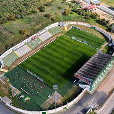
Estadio Príncipe Felipe
16.3 km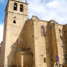
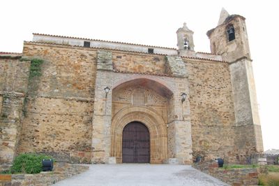
Church of Santiago, Cáceres
17 km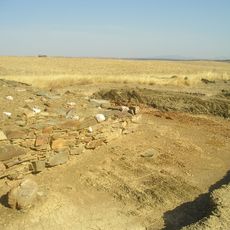
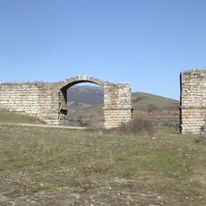
Castra Cecilia
14.4 km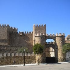
Castillo de Monroy
12.9 km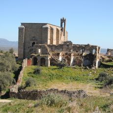
Convento de San Antonio de Padua
18.9 km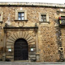
Palacio de Godoy (Cáceres)
17 km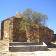
Ermita del Santo Cristo
11.8 km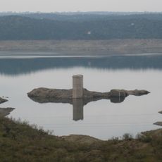
Castle of Floripes
12.3 km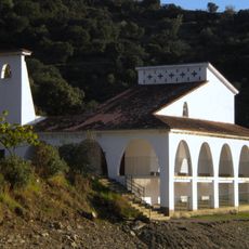
Ermita de Nuestra Señora del Río (Talaván)
14.5 km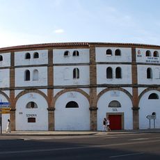
Cáceres bullring
16.6 km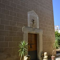
Ermita de la Excomunión
17 km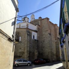
Iglesia de Santa María de la Consolación, Garrovillas de Alconétar
18.5 km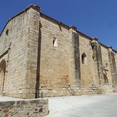
Iglesia de Santa Marina, Cañaveral
18.1 km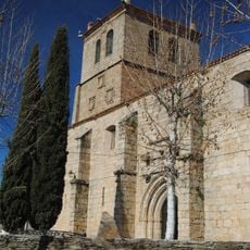
Iglesia de San Pedro, Garrovillas de Alconétar
18.5 km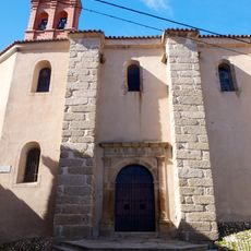
Convento de Monjas Jerónimas, Garrovillas de Alconétar
18.6 km
Casa de los Trucos
17 km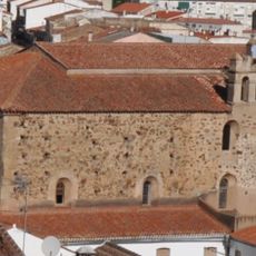
Iglesia y convento de Santo Domingo (Cáceres)
17 km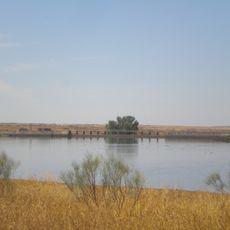
Talaván Reservoir
6.6 km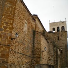
Church of Talaván
12.2 km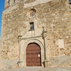
Iglesia de Santa Catalina
13.1 km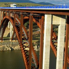
Alconétar Viaduct
10.8 km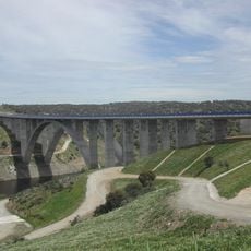
Puente del río Almonte
3.6 km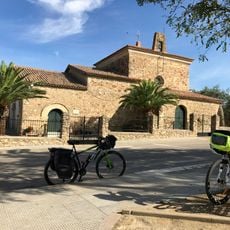
Ermita de Santiago
8.5 km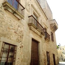
Palacio de Camarena
17 km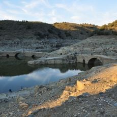
Don Francisco bridges
6.6 km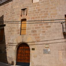
Palacio de Abrantes, Cáceres
17 km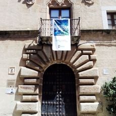
Biblioteca Municipal Julián Rodríguez Marcos (Palacio de la Isla)
17 kmVisited this place? Tap the stars to rate it and share your experience / photos with the community! Try now! You can cancel it anytime.
Discover hidden gems everywhere you go!
From secret cafés to breathtaking viewpoints, skip the crowded tourist spots and find places that match your style. Our app makes it easy with voice search, smart filtering, route optimization, and insider tips from travelers worldwide. Download now for the complete mobile experience.

A unique approach to discovering new places❞
— Le Figaro
All the places worth exploring❞
— France Info
A tailor-made excursion in just a few clicks❞
— 20 Minutes