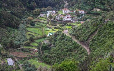
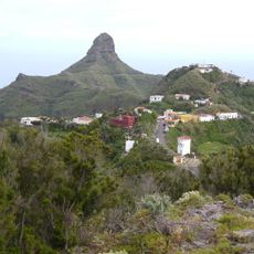
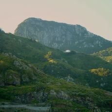
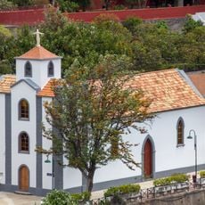
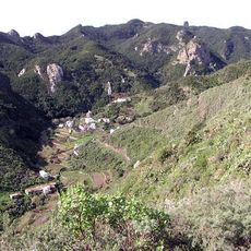
Chamorga, Mountain village in Anaga Rural Park, Tenerife, Spain
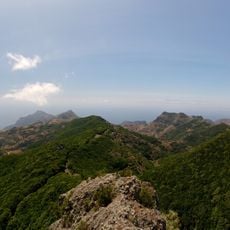
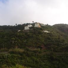
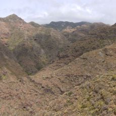
Chamorga is a mountain village in the Anaga Rural Park on Tenerife, with houses scattered across steep hillsides that rise significantly in elevation. The settlement spreads across rugged slopes with paths connecting different parts of the community throughout the terrain.
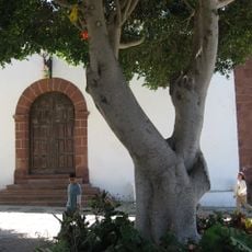
The settlement began as a farming community where people cultivated crops on terraced slopes to adapt to the mountainous terrain. This farming heritage shaped how the landscape looks today with evidence of these agricultural patterns still visible across the hillsides.
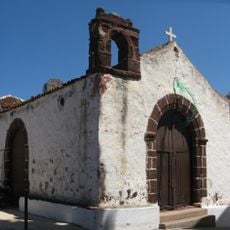
The name derives from the original island inhabitants and reflects how residents maintain ties to mountain life through daily routines and practical knowledge. People gather in shared spaces where traditional skills and local understanding of the terrain are passed along naturally.
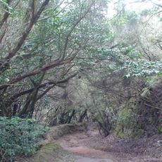
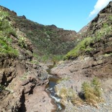
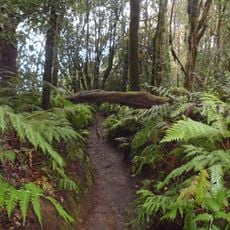
The village is accessible by public bus from Santa Cruz de Tenerife, though the journey takes time due to mountain roads and the location at the end of the route. Visitors should wear sturdy shoes as paths throughout the area involve uneven ground and steep grades.
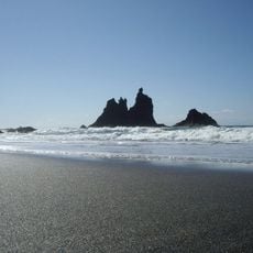
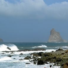
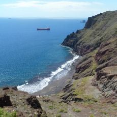
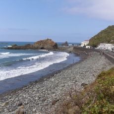
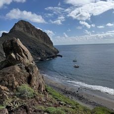
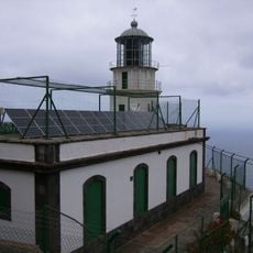
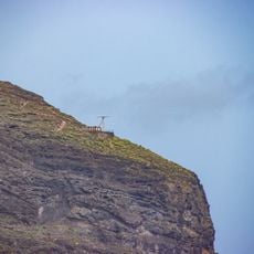
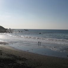
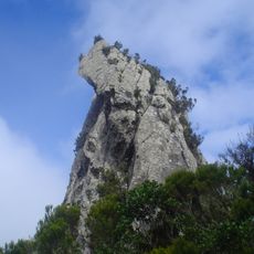
The village sits at an ideal position for reaching distinctive coastal landmarks and hiking routes that lead to remote corners of the surrounding protected area. Many travelers use it as a starting point to explore trails they would not easily find elsewhere in the region.
The community of curious travelers
AroundUs brings together thousands of curated places, local tips, and hidden gems, enriched daily by 60,000 contributors worldwide.