Ría de Mogro, Tidal estuary in Cantabria, Spain
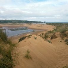
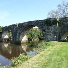
Ría de Mogro is the estuary of the Pas river on the central Cantabrian coast, between Miengo and Piélagos. It covers 228.4 hectares with a 24.8 km perimeter, and 62% of its surface is intertidal. Its upper stretch, muddy and dotted with islets, reaches Puente Arce and Oruña; towards the sea, sand flats and the Liencres dunes take over.
The estuary took shape in the Upper Pleistocene, when retreating cliffs and a rising sea level left sedimentary deposits that later became sandflats. The Pas still delivers an average of 16 m³/s, and its sediments keep reworking the channel and sandbanks.
Local fishing families work these waters using methods that have been passed down for generations in the small coastal towns nearby. This work shapes the rhythm of daily life along the shores.
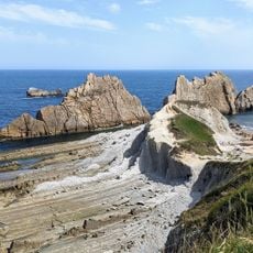
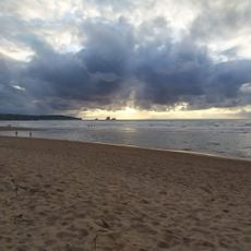
The estuary lies between Miengo and Piélagos, with the Pas flowing in past Puente Arce and Oruña. The final stretch is all sand: Liencres dunes, Mogro beach inside the ría and tiny Robayera between rocks at the open sea. A small promenade runs beside Mogro beach, and Monte La Picota is the main landmark.
The estuary's old tide mills left dikes that still cross the intertidal flats, visible at low water among the reeds. The ría covers 228.4 hectares with a 24.8 km perimeter, and 62% of its surface is intertidal, so the shape of the water changes markedly between tides.
The community of curious travelers
AroundUs brings together thousands of curated places, local tips, and hidden gems, enriched daily by 94,902 contributors worldwide.