Sierra del Escudo de Cabuérniga, Mountain range and protected area in Cantabria, Spain
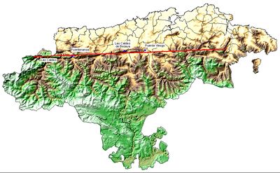
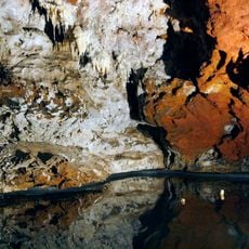
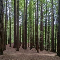
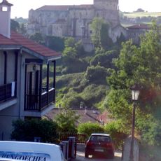
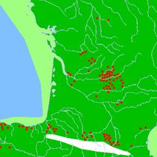
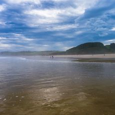
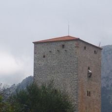
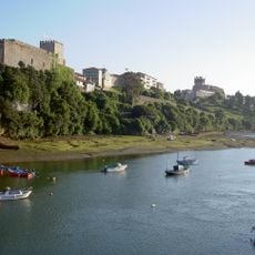
Sierra del Escudo de Cabuérniga is a mountain range and protected area in Cantabria that stretches roughly 50 kilometers from east to west between the Cantabrian Mountains and the Bay of Biscay. The range features numerous gorges carved through limestone formations, with varied elevations that create distinct geological features across its terrain.
The mountain range received protected status in 2006 as part of the Natura 2000 network, a European conservation initiative. This designation ensures the preservation of the natural environment and its biodiversity.
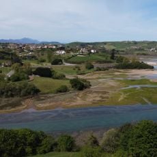
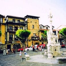
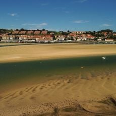
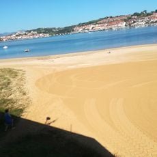
The mountain chain marks the natural boundary between the coastal La Marina region and the mountainous La Montaña area in northern Spain. This division shapes how communities on each side live and connect with their landscape.
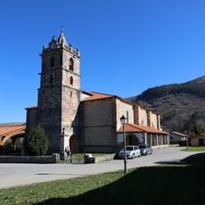
The range offers several marked trails for visitors to explore limestone formations and observe wildlife in their natural habitat. Spring and early fall provide the most comfortable conditions for hiking, with stable weather and pleasant temperatures.
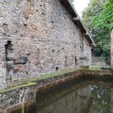
The geological structure reveals an inverted basin fault where rocks from the Paleozoic and Mesozoic periods surface, creating visible differences in rock types as you walk through the landscape. This unusual arrangement makes the mountain range particularly interesting for visitors who pay attention to changes in stone color and texture.
The community of curious travelers
AroundUs brings together thousands of curated places, local tips, and hidden gems, enriched daily by 60,000 contributors worldwide.