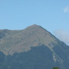
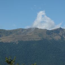
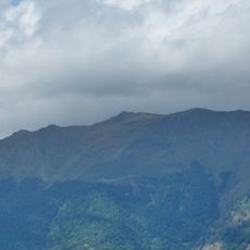
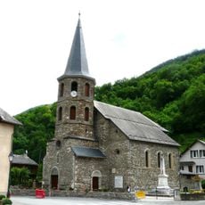
Tuc deth Plan dera Sèrra, Mountain peak in the Pyrenees, France.
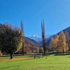
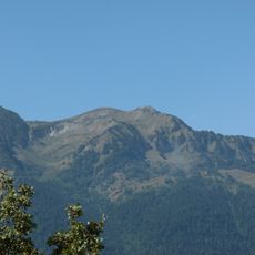
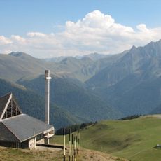
Tuc deth Plan dera Sèrra is a mountain summit in the French Pyrenees with an elevation of 1,960 meters (6,430 feet), located in the Haute-Garonne region. Views from its peak extend toward Luchon, the Superbagnères ski area, and the Céciré massif.
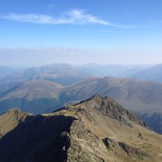
The summit historically marks the border between France and Spain, demonstrating the strategic importance of this mountain mass within the Pyrenees range. Border marker number 356 located near the Barèges pass documents this long-established boundary.
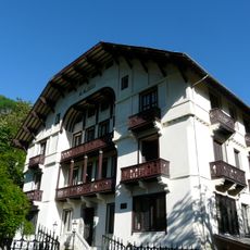
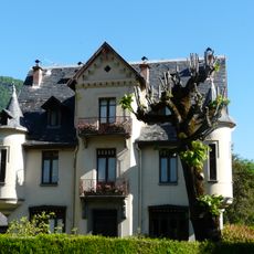
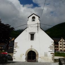
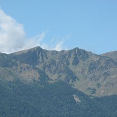
The routes to the summit follow traditional shepherding paths that have been used by herders for generations and reflect the rural way of life in this Pyrenean region. Local people continue to use these trails today, maintaining their connection to the mountain landscape.
The hike from Col du Portillon is demanding and requires good physical fitness along with proper equipment for changing mountain conditions. Starting early is advisable, and checking weather conditions beforehand is important, especially during seasonal transitions when conditions can be unpredictable.
Below the summit there is a water resurgence at 1,450 meters where water emerges from limestone, showing a surprising element of mountain hydrology. This phenomenon is typical of karst terrain and contributes to the distinctive character of this alpine region.
The community of curious travelers
AroundUs brings together thousands of curated places, local tips, and hidden gems, enriched daily by 60,000 contributors worldwide.